
Condition Report
Contact Information
Lot 1086
Sale 961 - American Historical Ephemera & Photography
Nov 30, 2021
10:00AM ET
Online / Cincinnati
Own a similar item?
Estimate
$300 -
500
Price Realized
$281
Sold prices are inclusive of Buyer’s Premium
Lot Description
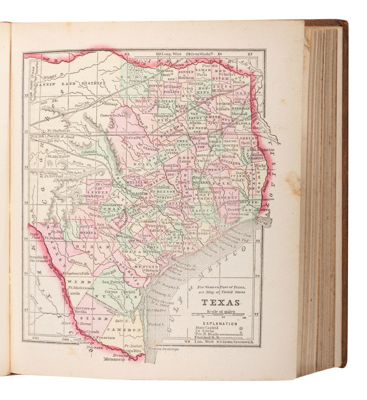
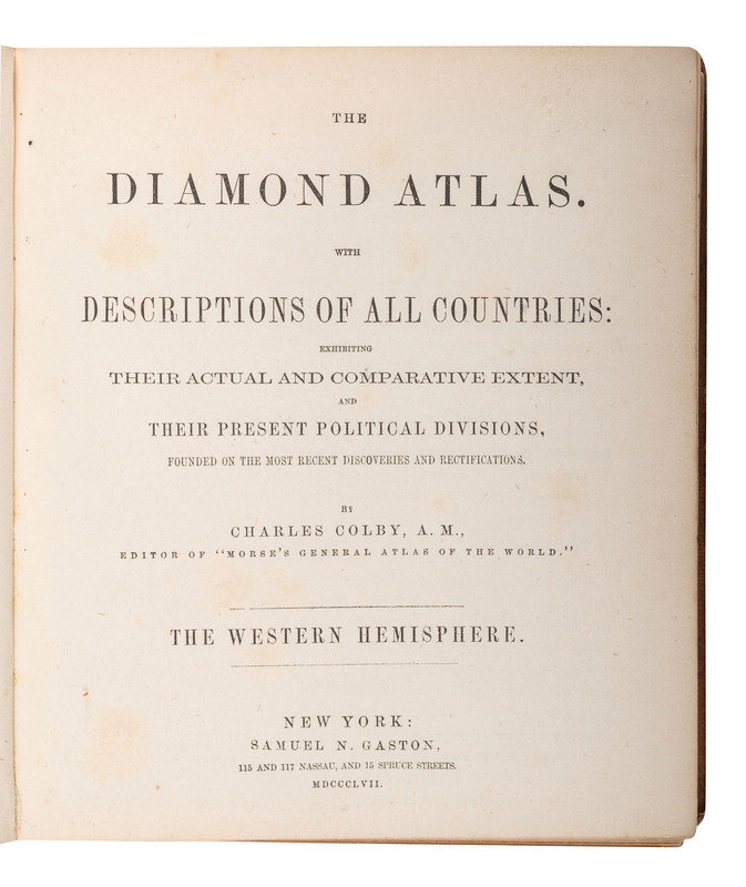
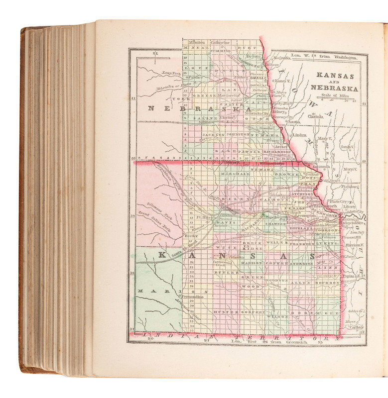
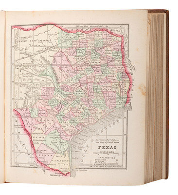
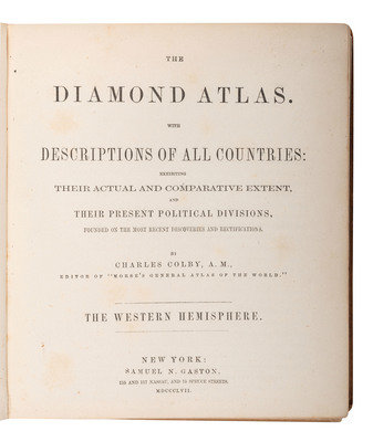
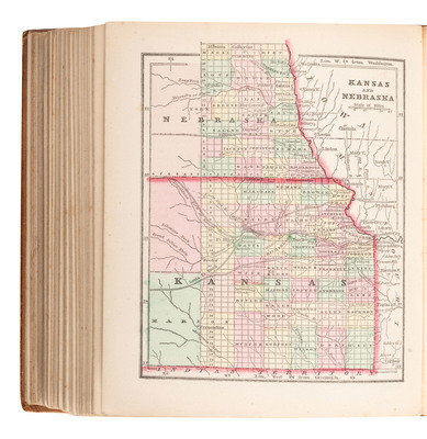
[MAPS & ATLASES]. COLBY, Charles (1830-1866). The Diamond Atlas...The Western Hemisphere. New York: Samuel N. Gaston, 1857.
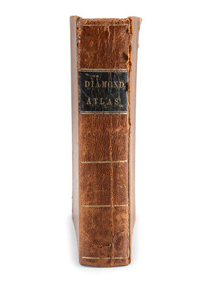
Square 8vo. 56 hand-colored maps and charts, including engraved title page, additional in-text illustrations. (Occasional minor spotting, a gathering slightly loose.) Contemporary calf, smooth spine gilt with black morocco spine label gilt (light wear to edges, some cracking to spine).
A fine collection of hand-colored maps with individual maps of most states.
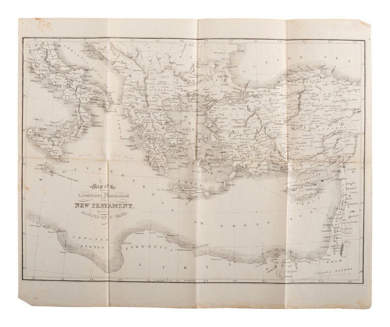
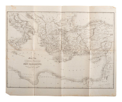
[With:] Map of the Countries Mentioned in the New Testament Showing the Routes of St. Paul. N.p.: N.p., n.d. Engraved map of the Mediterranean region, 285 x 202 mm (sheet 295 x 241 mm). (Old folds, minor spotting).
Property from the Estate of Henry G. Lamont, Racine, Wisconsin