Condition Report
Contact Information
Lot 297
Sale 945 - Fine Printed Books & Manuscripts, Including Americana
Lots 1-307
Nov 9, 2021
4:00AM CT
Lots 308-687
Nov 10, 2021
4:00AM CT
Live / Chicago
Own a similar item?
Estimate
$6,000 -
8,000
Price Realized
$10,000
Sold prices are inclusive of Buyer’s Premium
Lot Description
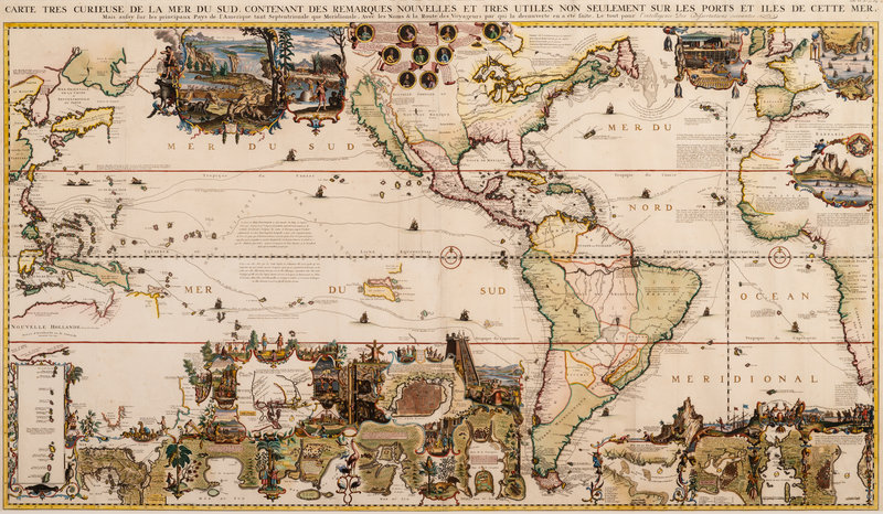
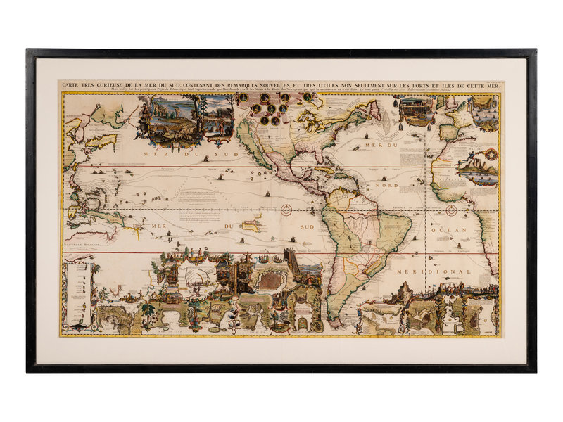
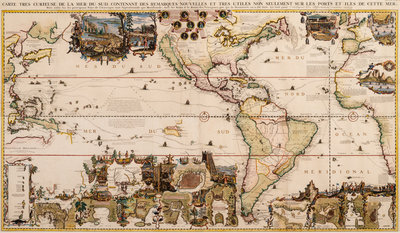
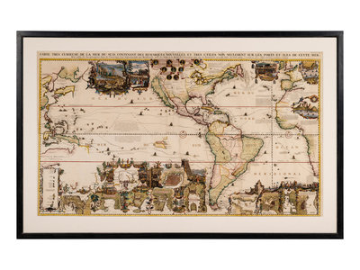
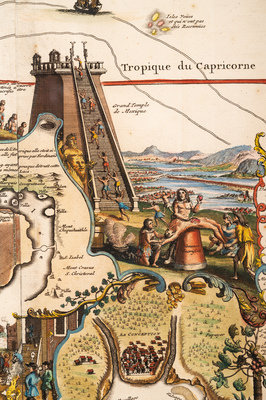
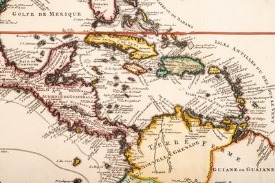
CHATELAIN, Henri Abraham (1684-1743). Carte Tres Curieuse de la Mer du Sud. Contenant des Remarques Nouvelles et Tres Utiles non Seulement sur les Ports et Iles de Cette Mer. Amsterdam, 1719.
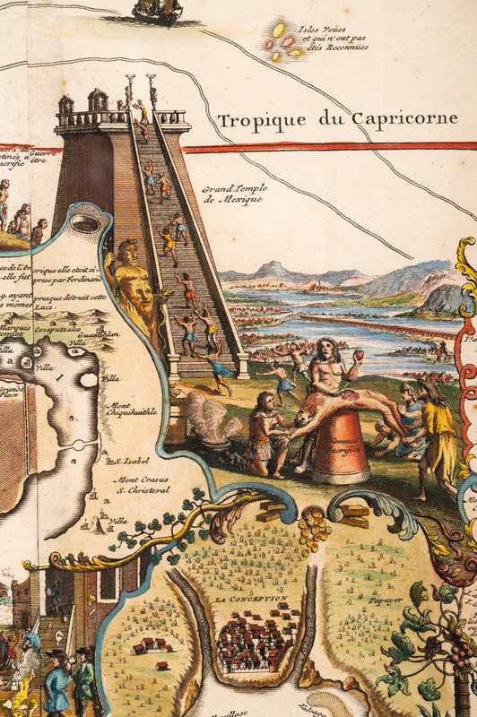
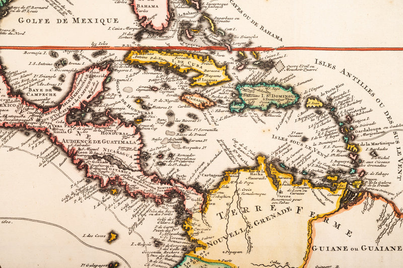
Engraved map on 4 joined sheets of the Americas, with hand-coloring in outline and wash, visible area 820 x 1430 mm, matted and framed (unexamined out of frame), manuscript pagination upper right. Spanish and Dutch navigation routes delineated, over 34 insets and vignettes of scenes and regions of the New World, portrait medallions of explorers, including Columbus, Dampier, Drake, Vespucci and Magellan.
"ONE OF THE MOST DECORATIVE MAPS OF NORTH AMERICA OF THE 18TH CENTURY" (Tooley)
Chatelain's map, published in his Atlas Historique of 1719, was intended to encourage French investment in the Americas. Though the map depicts California as an island, a notation indicates that many Europeans believe it to be connected to the mainland. "One of the most elaborately engraved maps of the Western Hemisphere ever produced" (Schwartz & Ehrenberg). McLaughlin 190; Schwarz & Ehrenberg 85; Tooley p.130.