

Condition Report
Contact Information
Lot 296
Sale 945 - Fine Printed Books & Manuscripts, Including Americana
Lots 1-307
Nov 9, 2021
4:00AM CT
Lots 308-687
Nov 10, 2021
4:00AM CT
Live / Chicago
Own a similar item?
Estimate
$400 -
600
Price Realized
$313
Sold prices are inclusive of Buyer’s Premium
Lot Description
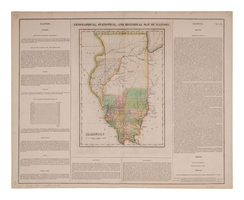
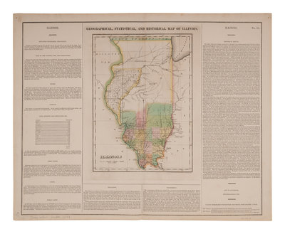
CAREY, Henry Charles (1793-1879) and Isaac LEA (1792-1886). Geographical, Statistical, and Historical Map of Illinois. [Philadelphia, 1822].
Engraved map of Illinois with hand-coloring in wash and outline, 457 x 563 mm sheet. Three text borders describing the rivers, climate, chief towns, government and history of Illinois. (Short tears to vertical fold, tear repaired upper corner, some minor toning.)
THE EARLIEST OBTAINABLE MAP OF ILLINOIS, which had been granted statehood in 1818. The map shows 19 counties in southern Illinois, and the boundary lands to the west. Chicago is named, and the map includes boundary lines of Native American territory in the north.
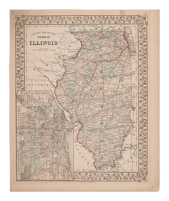
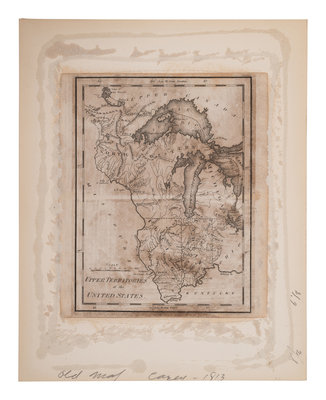
[With:] Two additional maps of Illinois, comprising: Upper Territories of the United States. N.p., ca 1813? Engraved map, 206 x 175 mm sheet. (Mounted to backing board, browned). Bears some similarity to Carey's map of the same title, though in a smaller format. -- MITCHELL. County Map of the State of Illinois. Philadelphia, 1867. Engraved map with hand-coloring, 378 x 314 mm sheet. With inset plan of Chicago.