Condition Report
Contact Information
Auction Specialist
Lot 224
Sale 6330 - Fine Printed Books & Manuscripts, Including Americana
May 8, 2025
10:00AM CT
Live / Chicago
Own a similar item?
Estimate
$2,000 -
3,000
Price Realized
$4,160
Sold prices are inclusive of Buyer’s Premium
Lot Description
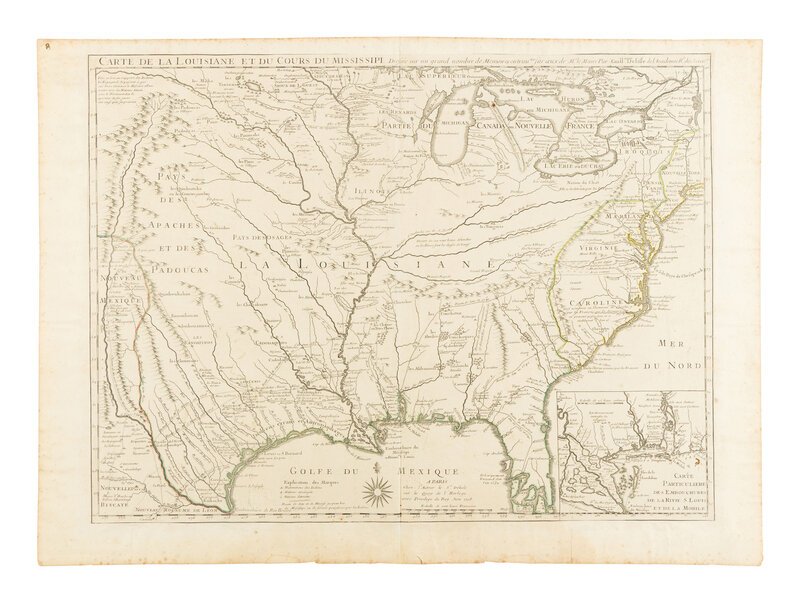
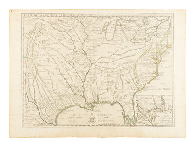
[MAP]. DE L'ISLE, Guillaume (1675-1726). Carte de la Louisiane et du Cours du Mississippi. Paris, 1718.
Engraved map, 489 x 654 mm. Inset of the Gulf of Mexico, New Orleans, and Mobile. (Trimmed to neatline, mounted on old sheet, spotting or toning in margins, hinges on verso.)
THE FIRST PRINTED MAP TO SHOW TEXAS.
FIRST EDITION, FIRST STATE, not showing New Orleans. Considered "one of the most important mother maps of the North American continent" (William P. Cumming). Delisle's Carte de la Louisiane is the first detailed map of the Gulf of Mexico and the Mississippi River, and the first printed map to show Texas ("Mission de los Teijas etablie en 1716"). The Missouri River is named three times, and extends west to the upper Rio Grande. Cumming 170; Tooley 43; Wheat Transmississippi 99.
Property from the Estate of James G. Hansen at Fetcher House, Winnetka, Illinois