Condition Report
Contact Information
Auction Specialist
Lot 219
Sale 6330 - Fine Printed Books & Manuscripts, Including Americana
May 8, 2025
10:00AM CT
Live / Chicago
Own a similar item?
Estimate
$10,000 -
15,000
Price Realized
$10,240
Sold prices are inclusive of Buyer’s Premium
Lot Description
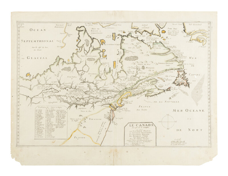
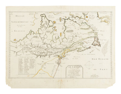
[MAP]. CHAMPLAIN, Samuel De (1574-1635) and Pierre DU VAL (1619-1683). Le Canada Faict par le Sr de Champlain ou sont La Nouvelle France, La Nouvelle Angleterre, La Nouvelle Holande, La Nouvelle Suede, La Virginie &c. Avec les Nationes Voisines. Paris, ca 1664.
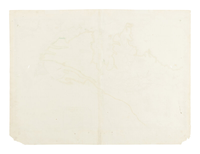
Engraved map hand-outlined in color, 432 x 584 mm. (Centerfold reinforced on verso, small corner tears in lower margin, some spotting or toning at edges.)
KERSHAW'S RARE SECOND STATE OF 1664; BURDEN'S PREVIOUSLY UNRECORDED FOURTH STATE.
The copperplate engraving for this map was executed after Champlain by the house of Melchoir Tavernier. Though it is believed that the map was intended for inclusion in Champlain's 1619 Voyage et descouvertures faites en la Nouvelle France, it was never printed for that work. Du Val acquired the plate in the early 1650s, whereupon he added place names and his imprint; he first published the map with his imprint in 1653. The map's association with Champlain wasn't discovered until 1953, when Lawrence Wroth published a study of an untitled (and unfinished) map of New France bearing the inscription "faict par le Sr de Champlain. 1616," which the John Carter Brown Library had recently acquired. Wroth demonstrated that it had been pulled from the same copperplate that was later used by Du Val in 1653 and was a proof state of that map. The 1616 map depicts Champlain's discoveries in New France after the publication of his 1612 map. According to Burden, "in the intervening years he made probably the most epic journey of them all." Less finished than the 1612 map, it illustrates possible routes via waterways to the Pacific; it also includes the Chesapeake Bay, presumably drawn from John Smith's 1612 map.
SCARCE: Burden describes "a total of six states. All are rare, the fourth being identified by the author is previously unrecorded." According to American Book Prices Current, only two copies dated 1664 have appeared at auction in over 40 years.
ONE OF THE MOST IMPORTANT EARLY MAPS OF CANADA AND THE GREAT LAKES. Burden 309; Kershaw 78.
Property from the Estate of James G. Hansen at Fetcher House, Winnetka, Illinois