Condition Report
Contact Information
Lot 119
Lot Description
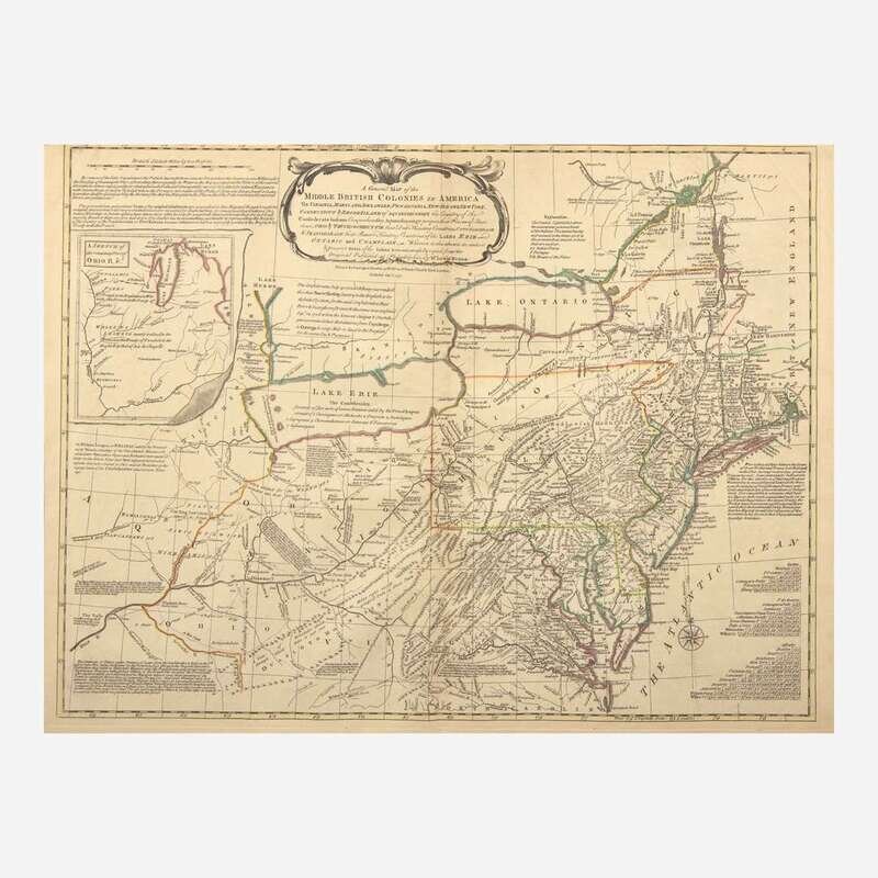
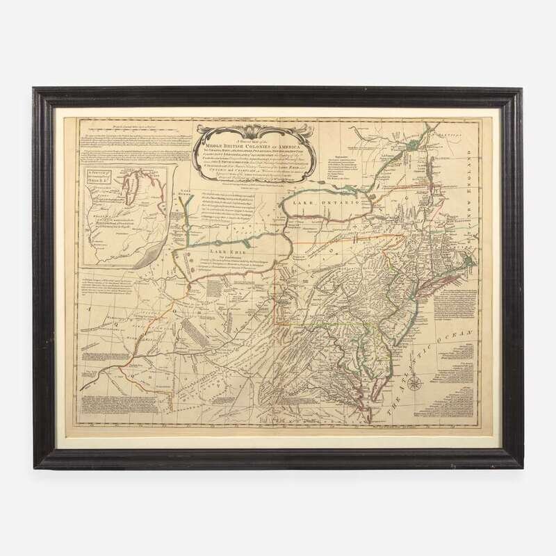
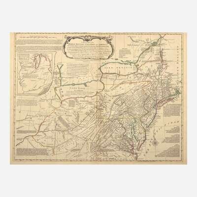
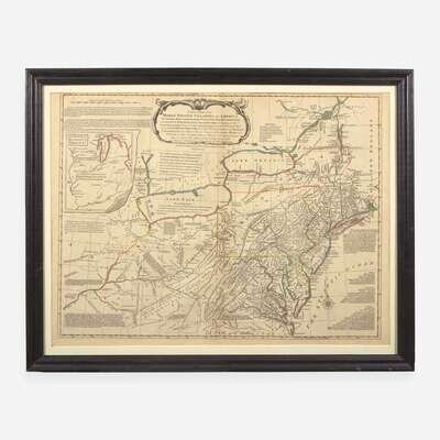
London: Carington Bowles, 1771. Third state (of four). Engraved map with hand-colored outlining, 20 7/8 x 28 in. (530 x 711 mm). Toned along edges, scattered soiling and old tape residue on recto of same; tape repair in center left edge verso; contemporary manuscript on verso, "American / Middle British Colonies". In mat and in frame, 23 5/8 x 30 1/4 in. (600 x 768 mm). Stevens & Tree 29c
Third state of the John Bowles pirated edition of Lewis Evans's groundbreaking map of the British Colonies in North America. First published by Evans in Philadelphia in 1755, his map is considered one of the most important maps of North America of the 18th century, and is noted for its detail and accuracy, especially in its mapping of the Ohio Country, and the various contesting claims by the British, French, and Native Americans. From the time of its publication through the remainder of the 18th century Evans's map was considered the standard map of North America, and was often copied, as is seen in this example.