

Condition Report
Contact Information
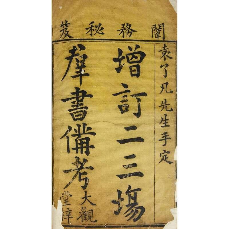
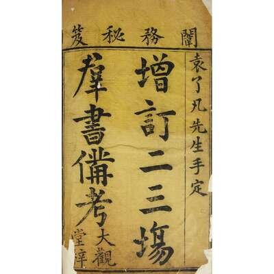
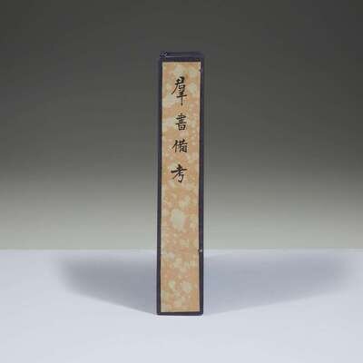
Lot 133
Lot Description
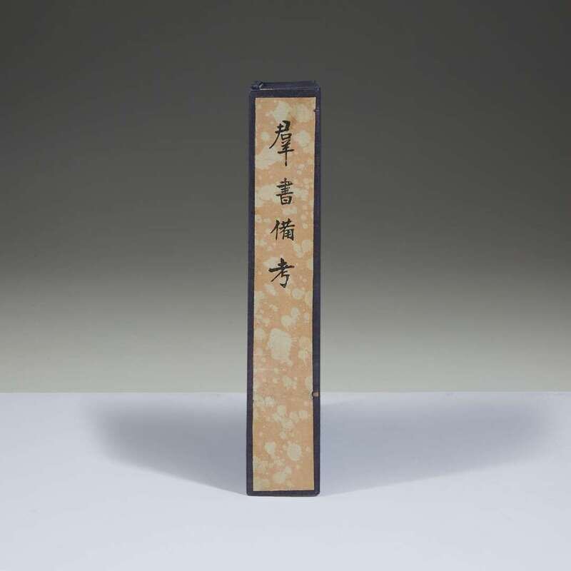
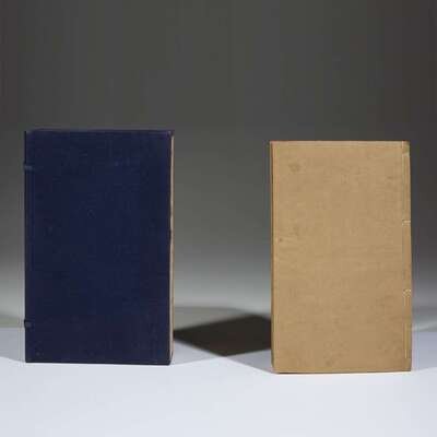
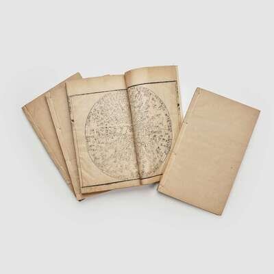
Text by Yuan Huang (1533-1606), with commentaries by his son Yuan Yen (1581-1627), supplemented and published by Shen Changshi in 1642, and printed at the Da Guan Tang (“Great View Hall”) as a private edition intended for internal administrative circulation (as opposed to popular distribution), printed in woodblock technique in four Juan, each stitch-bound in a separate volume of quarto size, the first of which with a customary yellow-dyed title page followed by a preface (printed in semi-cursive script) by Shen Changshi date the Renwu year of Chongzhen (1642), the 11th month; and the second and fourth juan printed with woodblock illustrations of a Star Atlas, an Armillary Sphere, an overall geographical map of China, and maps of the Yellow River, the Grand Canal, a Sea Transport Map, maps of Jiubian (“the Nine Boundaries”), Liaodong Territory, and the northern frontiers of Sizhou Territory, Xuan, Datong, Yulin, Ningxia, Guyuan, and Gansuan, as well as a map of Coastal Embankements. NOTE: According to the present owner, during the Qianlong period, the maps of the Northern Frontier were excised from the fourth juan. As the present lot includes maps of the territories of Datong, Yulin and Ningxia, this may be one of the few rare copies which retain the excised maps.
L: 10 1/2; W: 6 1/2 in.