

Condition Report
Contact Information
Lot 299
Sale 945 - Fine Printed Books & Manuscripts, Including Americana
Lots 1-307
Nov 9, 2021
4:00AM CT
Lots 308-687
Nov 10, 2021
4:00AM CT
Live / Chicago
Own a similar item?
Estimate
$500 -
700
Price Realized
$938
Sold prices are inclusive of Buyer’s Premium
Lot Description
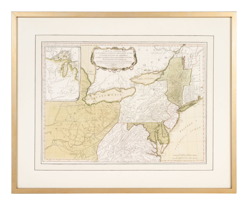
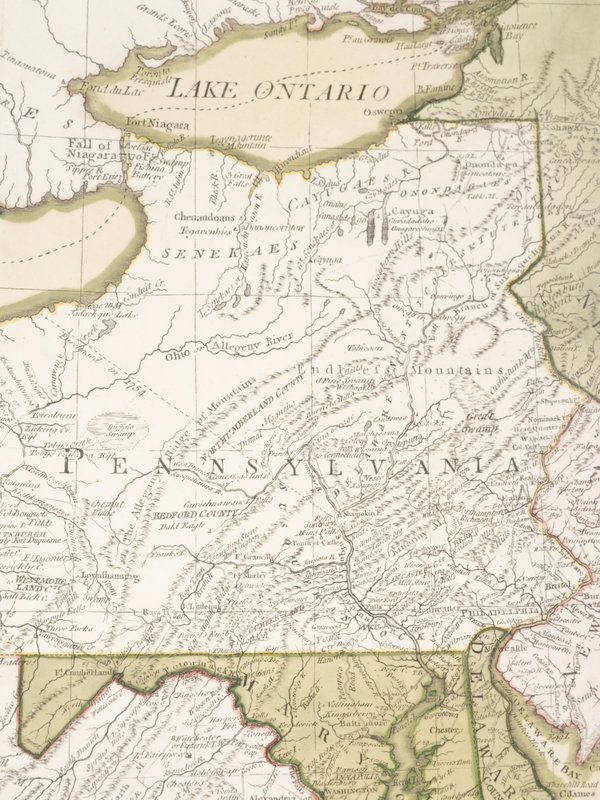
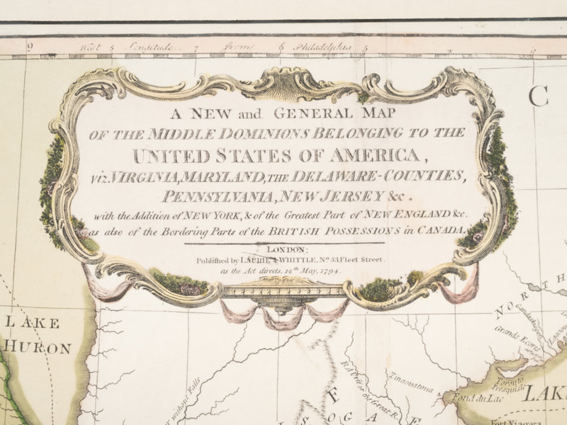
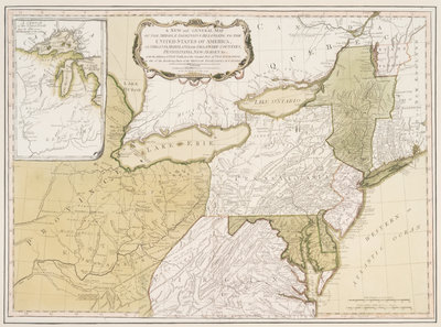
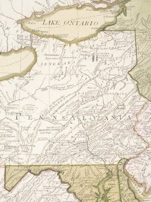
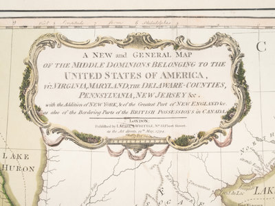
LAURIE, Robert (1755-1836) and James WHITTLE (d.1818). A New and General Map of the Middle Dominions Belonging to the United States of America, viz. Virginia, Maryland, the Delaware-Counties, Pennsylvania, New Jersey. With the Addition of New York, & of the Greatest Part of New England... London: Laurie and Whittle, 1794.
Engraved map with contemporary hand-coloring of the Northeastern United States, 495 x 673 mm visible area, matted and framed (laid down on backing board). Inset map of the Great Lakes.
Laurie and Whittle first re-issue, issue unknown (watermark unobservable). Originally published by Thomas Kitchin in 1756, the plate was revised numerous times by Thomas Jefferys, Sayer & Jefferys, Sayer & Bennett, and finally, Laurie & Whittle. See Tooley p.68-69.