Condition Report
Contact Information
Lot 97
Sale 6465 - Printed and Manuscript Americana
Jan 29, 2026
10:00AM ET
Live / Philadelphia
Own a similar item?
Estimate
$6,000 -
9,000
Price Realized
$10,240
Sold prices are inclusive of Buyer’s Premium
Lot Description
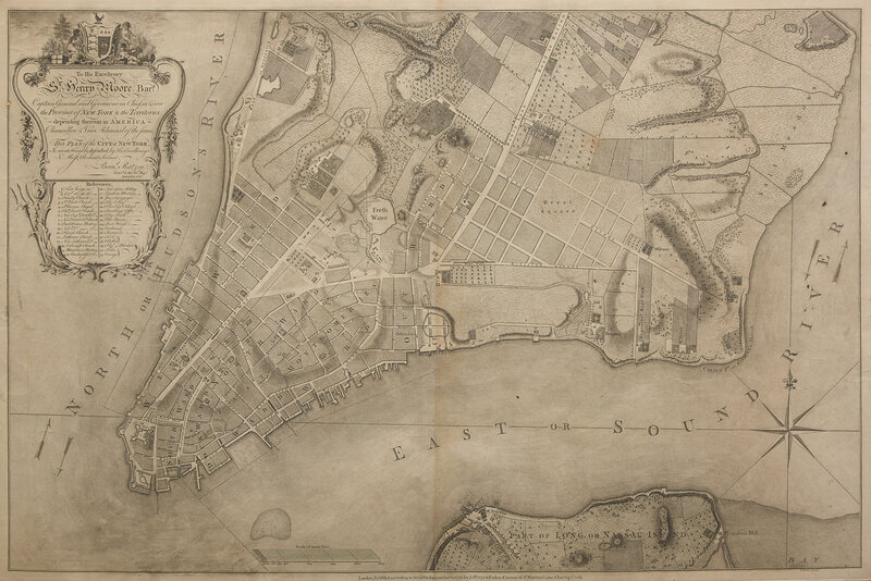
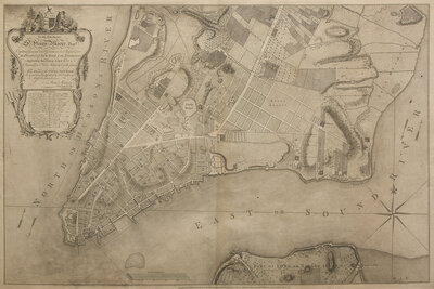
[Maps & Atlases] [New York] Ratzer, Bernard. To His Excellency Sr. Henry Moore, Bart. Captain General and Govenour in Chief, in & over the Province of New York & the Territories depending thereon in America Chancellor & Vice Admiral of the same. This Plan of the City of New York...
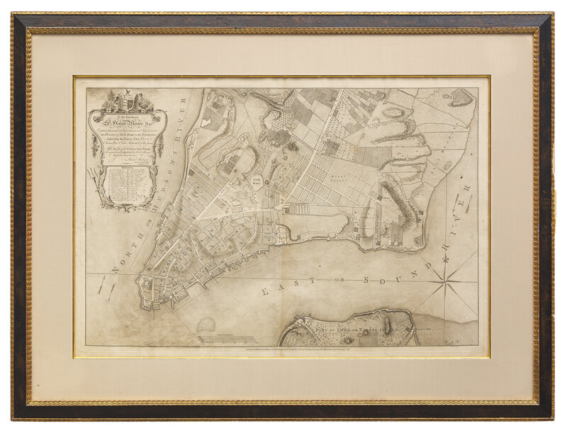
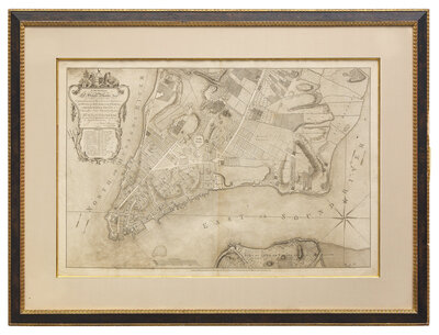
London: Jefferys & Faden, January 12, 1776 (but later, paper watermarked "Ruse & Turners 1831"). Engraved map, by Thomas Kitchin after Bernard Ratzer. Reinforced along central vertical fold; scattered wear along edges. 29 1/2 x 40 in. (749 x 1,016 mm). In mat and in frame, 36 1/2 x 48 1/2 in. (927 x 1,232 mm). Deak 120
A fine copy of an apparently unrecorded second state of this important plan of New York City, including the Jefferys & Faden imprint. "Made just prior to the Revolution, the Ratzen plan was the most accurate and useful survey of New York then circulating. It details a portion of the present city extending from the Battery to a point south of today's Grand Street. The road to Greenwich (along the Hudson), Broadway, and the Bowry Lane (the high road to Boston) are the principal north-south streets immediately apparent. Across the river, a small part of Long Island is shown, with the important Brookland Ferry clearly indicated. Thirty-one numbered references to the major landmarks are given below the dedicatory cartouche. These include Fort George, various churches, religious meetinghouses, the Exchange, and marketplaces. The nineteenth reference is to 'The College' (i.e., King's College), today's Columbia University, originally located on spacious grounds overlooking the Hudson, south of Murray Street." (Deak).
Often referred to as the “Ratzen Plan” due to the misspelling of the mapmaker’s name in the title, it was the work of Bernard Ratzer, a British Engineer, and was the result of the Stamp Act Riots of 1765. Fearing that the city might soon become a battleground, and needing detailed information about its layout, the British authorities commissioned Ratzer to survey and construct a map of the city. The manuscript was completed in 1767, and very few copies of the first state were printed, in 1769. This state lacks an imprint, and was probably printed for circulation within the British government. A second state, bearing the imprint of Jefferys & Faden, was published in January 1776. The majority of surviving examples are of the second state.
This lot is located in Philadelphia.