Condition Report
Contact Information
Auction Specialist
Lot 139
Sale 6330 - Fine Printed Books & Manuscripts, Including Americana
May 8, 2025
10:00AM CT
Live / Chicago
Own a similar item?
Estimate
$3,000 -
4,000
Price Realized
$5,120
Sold prices are inclusive of Buyer’s Premium
Lot Description
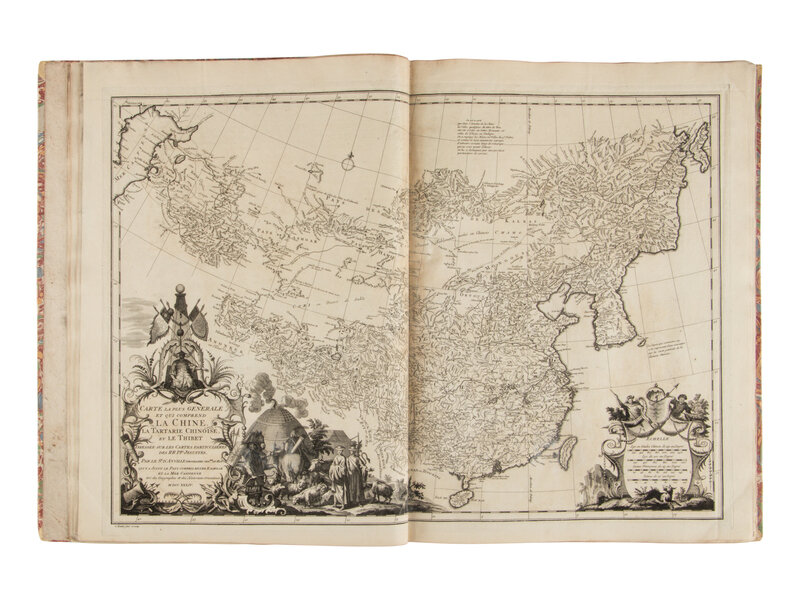
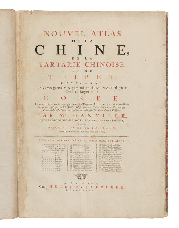
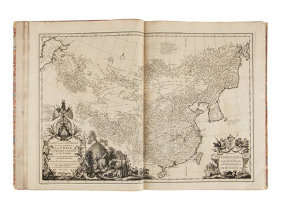
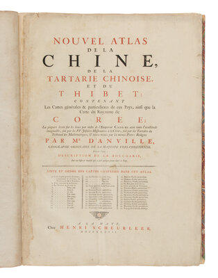
D'ANVILLE, Jean-Baptiste Bourguignon (1697-1782). Nouvel Atlas de la Chine, de la Tartarie Chinoise et du Thibet [New Maps of China, Inner Mongol and Tibet]. The Hague: Henri Scheurleer, 1737.
Folio (533 x 394 mm). Title printed in red and black, 42 engraved maps of which 3 are folding and 10 double-page. (Title-page reinserted on stub and with some soiling and chipping to top edge and gutter, text leaves also inserted on stubs, some offsetting and touch ups to centerfolds on a few maps.) Modern half calf, contemporary marbled boards.
THE FIRST ATLAS TO DEPICT TIBET. From an early age D'Anville immersed himself in geography and the study of maps. He engraved his first map at the age of 15 and soon became one of the most respected cartographers in France, appointed Geographer to the King in 1773. Although he never left Paris, he had access to the new Jesuit surveys carried out in 1708 for the Kangxi Emperor. His atlas of China, based on this information, was issued in Paris by Dezauche under the title Atlas general de la Chine, and by Scheurleer in The Hague (this edition) which has 42 maps as opposed to 50. Cordier Sinica 48.