
Condition Report
Contact Information
Auction Specialist
Lot 238
Sale 6285 - Books and Manuscripts
Mar 27, 2025
10:00AM ET
Live / Philadelphia
Own a similar item?
Estimate
$600 -
900
Price Realized
$832
Sold prices are inclusive of Buyer’s Premium
Lot Description
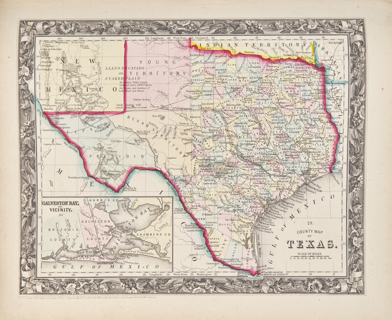
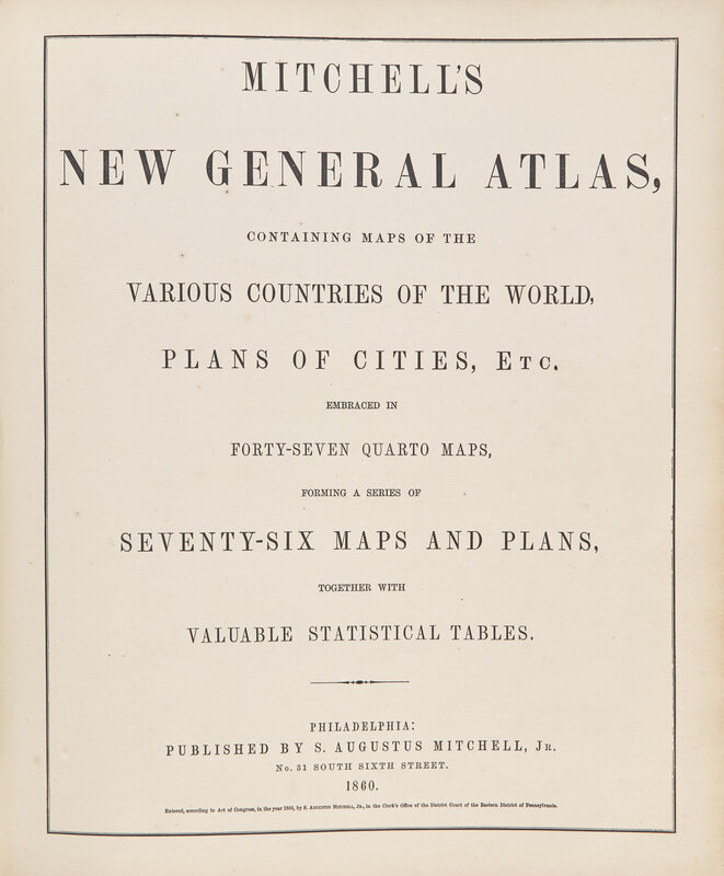
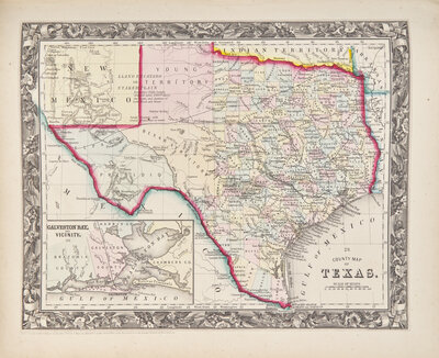
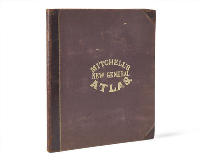
[Maps & Atlases] Mitchell's New General Atlas, Containing Maps of the Various Countries of the World, Plans of Citites, Etc. Embraced in Forty-Seven Quarto Maps, Forming a Series of Seventy-Six Maps and Plans, Together with Statistical Tables
Philadelphia: Published by S. Augustus Mitchell, Jr., 1860. First edition. 4to. Illustrated with 76 numbered and hand-colored engraved maps on 43 sheets (including four double-page). Publisher's three-quarter brown morocco over brown pebbled cloth-covered boards, decorated and lettered in gilt, extremities and joints rubbed, soiling and rubbing to boards; all edges trimmed; front and rear hinges reinforced with black tape; scattered spotting to text and plates; in grey cloth fall-down-back box.
Handsome first edition of Mitchell's influential pre-Civil War world atlas, featuring 33 full, double-page, and inset maps pertaining to the United States, including maps of all 33 states, the Western territories, and plans of most major cities, including New York, Boston, and Philadelphia.
This lot is located in Philadelphia.