

Condition Report
Contact Information
Lot 50
Sale 610 - Fine Cartographic and Printed Americana
Nov 12, 2018
9:59AM
Live
Own a similar item?
Estimate
$2,000 -
3,000
Price Realized
$2,000
Sold prices are inclusive of Buyer’s Premium
Lot Description
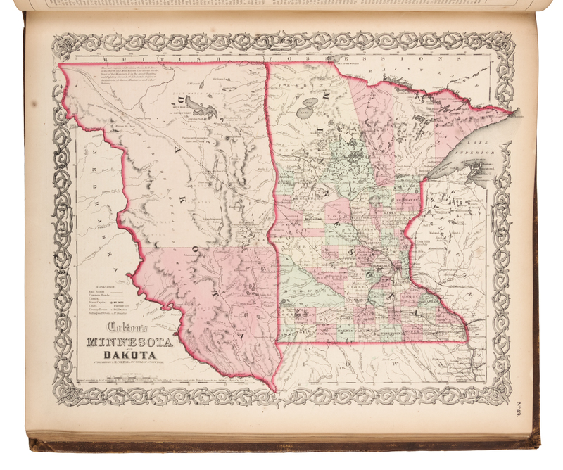
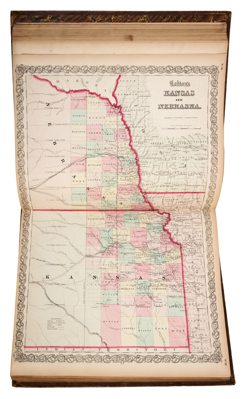
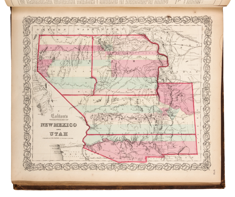
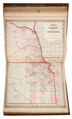
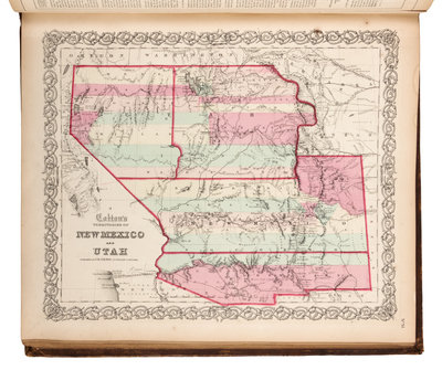
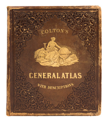
COLTON, Joseph Hutchins (1800-1893). Colton's General Atlas...Accompanied by...Letter-Press Descriptions...by Richard S. Fisher. New York: J.H. Colton, 1861.
4to (440 x 376 mm). Steel engraved frontispiece, 101 steel engraved maps (7 double-page), all but 2 with hand coloring, plus insets. (View of Mountains and Rivers trimmed into border, map of England and Wales reinforced along border verso.) Publisher's gilt- and blind-stamped brown roan (lightly rubbed). Maps of the United States and North America include the first Colorado Territory (still called "Colona" on the maps of New Mexico and Utah). With an additional map of Georgia not called for in Phillips. See Phillips 4342 (1860 edition, a few maps here with earlier copyright dates); Rumsey 2441.