Condition Report
Contact Information
Lot 108
Sale 610 - Fine Cartographic and Printed Americana
Nov 12, 2018
9:59AM
Live
Own a similar item?
Estimate
$300 -
500
Price Realized
$281
Sold prices are inclusive of Buyer’s Premium
Lot Description
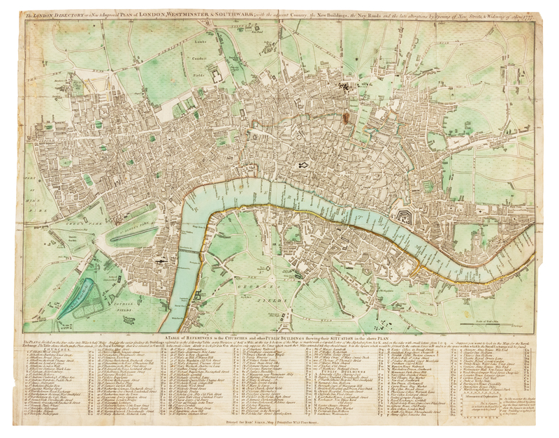
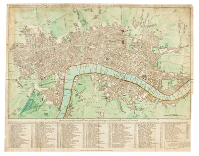
SAYER, Robert (1725-1794). The London Directory or a New & Improved Plan of London, Westminster & Southwark; with the adjacent Country, the New Buildings, the New Roads and the late alterations by Opening of New Streets, & Widening of others 1777. [London], 1777.
Engraved hand-colored map of London, image 403 x 500 mm (sheet 406 x 515 mm). (A few splits along folds, many reinforced on verso, 1 -in tear in Hyde Park.) Sayer's pocket map was issued numerous times between 1765 and 1800, and depicts the major roads and parks in London, as well as the Westminster, Blackfriars, and London Bridges crossing the Thames and an extensive key in the lower margin.