

Condition Report
Contact Information
Lot 62
Sale 568 - Fine Books and Manuscripts
May 1, 2018
9:59AM
Live
Own a similar item?
Estimate
$800 -
1,200
Price Realized
$813
Sold prices are inclusive of Buyer’s Premium
Lot Description
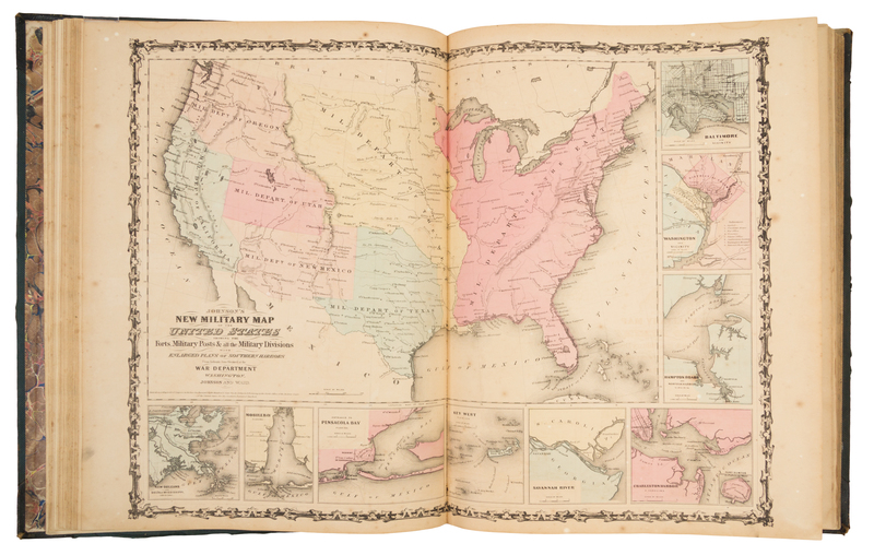
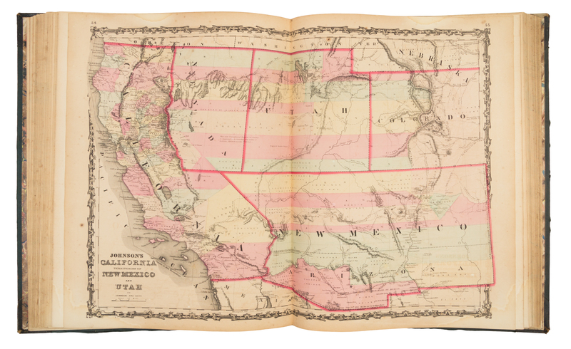
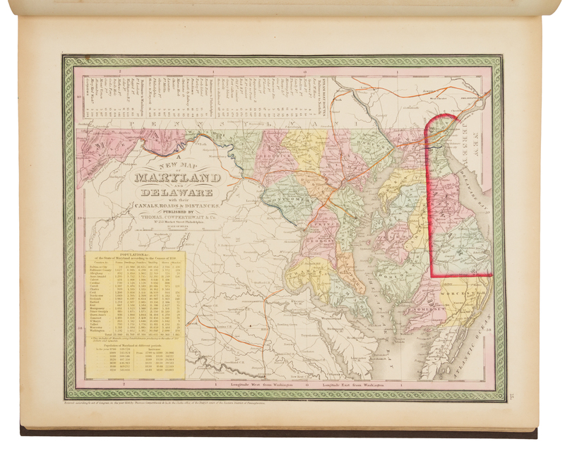
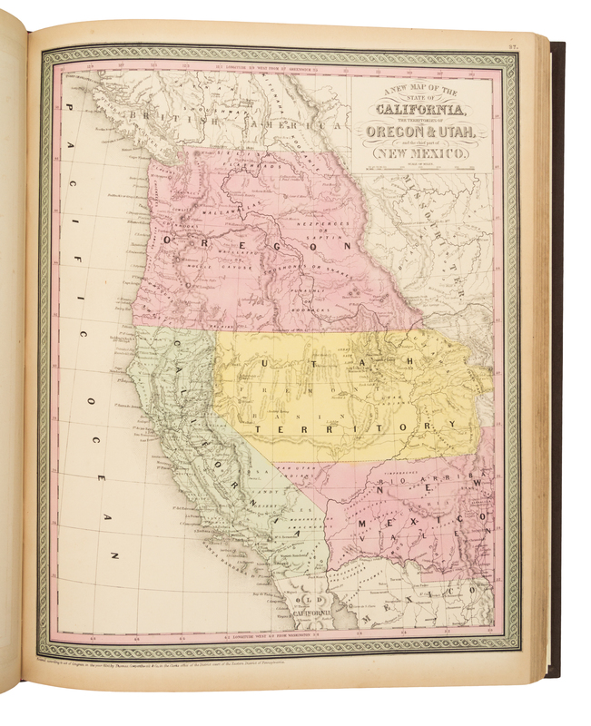
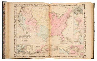
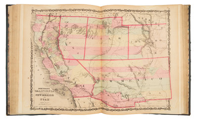
JOHNSON, Alvin J. (1827-1884). Johnson's New Illustrated (Steel Plate) Family Atlas, with Descriptions, Geographical, Statistical, and Historical. New York: Johnson and Browning, 1862.
Folio (459 x 370 mm). 91 numbered single- and double-page maps (of 92, lacking sheet number 43, half of the map of Ohio), extra unnumbered single-page map of Russian, extra unnumbered double-page map of the United States (see below). (A few marginal tears, overall browning, a few stains.) Original half green morocco, covers gilt- and blind-stamped (some overall rubbing or wear). The atlas includes an unnumbered map entitled "Johnson's New Military Map of the United States showing the Forts, Military Posts, & all the Military Divisions with enlarged plans of Southern Harbors From Authentic Data Obtained at the War Department Washington" with the imprint "Johnson and Ward"; inset plans in the lower and right margin depict the harbors of New Orleans, Mobile Bay, Pensacola Bay, Key West, Savannah River, Charleston, Hampton Roads and Norfolk, Washington D.C., and Baltimore.