
Condition Report
Contact Information
Lot 350
Sale 532 - Fine Books and Manuscripts
Dec 6, 2017
9:59AM
Live
Own a similar item?
Estimate
$400 -
600
Price Realized
$250
Sold prices are inclusive of Buyer’s Premium
Lot Description
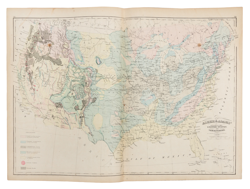
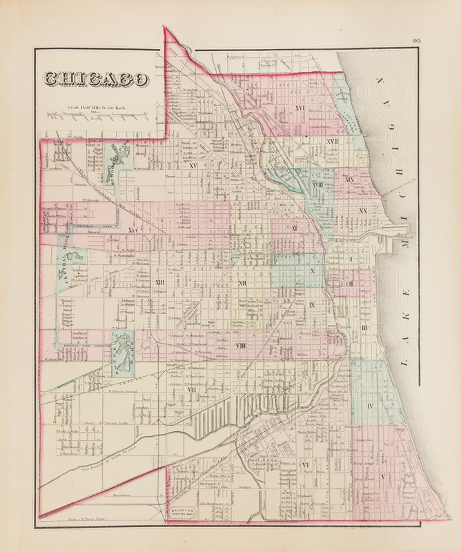
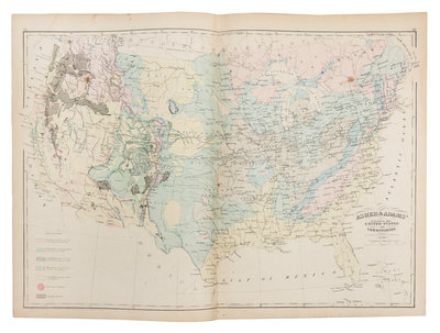
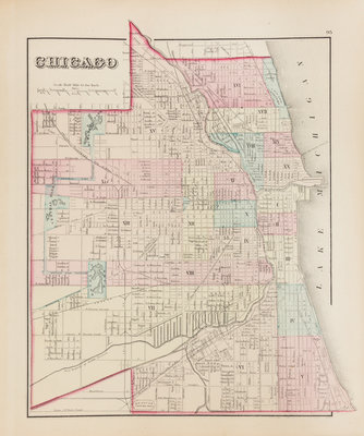
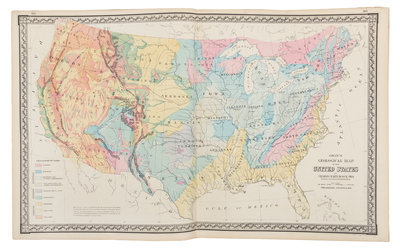
[ATLASES] GRAY, Ormando Willis. The National Atlas, containing Elaborate Topographical Maps of the United States and the Dominion of Canada. Philadelphia: O.W. Gray & Son, 1876.
Folio (440 x 378 mm). 68 hand-colored lithographic maps (many double-page). Original half calf, green cloth (spine perished, worn). Second edition, following the first edition of 1875; the full color maps of each state differentiate counties.