Condition Report
Contact Information
Lot 349
Sale 532 - Fine Books and Manuscripts
Dec 6, 2017
9:59AM
Live
Own a similar item?
Estimate
$800 -
1,200
Price Realized
$1,375
Sold prices are inclusive of Buyer’s Premium
Lot Description
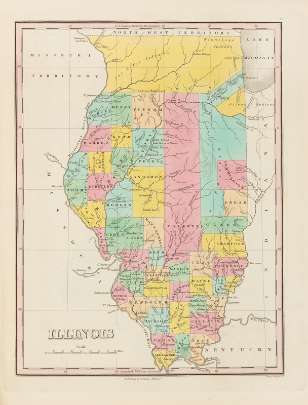
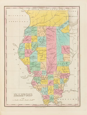
[ATLASES] FINLEY, Anthony (ca 1790-1840). A New General Atlas, Comprising a Complete Set of Maps representing the Grand Divisions of the Globe...Compiled from the Best Authorities, and Corrected by the Most Recent Discoveries. Philadelphia: Anthony Finley, 1829.
4to (350 x 274 mm). Engraved title, engraved list of contents, 58 hand-colored engraved maps, 2 hand-colored engraved plates showing comparative heights of mountains and lengths of rivers, one letterpress statistical table. (A few minor mostly marginal stains.) Original red half roan, marbled boards, printed label to upper cover. Later edition, including maps of the newly developing states in the Midwest and South: Indiana, Illinois, Alabama, Mississippi, Louisiana, and Missouri. Phillips Atlases 4314.