

Condition Report
Contact Information
Lot 121
Lot Description
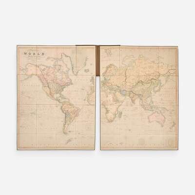
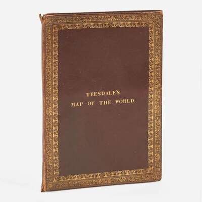
London: Henry Teesdale, 1842. Fourth edition. Large hand-colored engraved folding map of the world, by John Dower; dissected into two large sections representing each hemisphere, each comprising 16 sheets mounted to original linen; green silk edges. Bound into publisher's dark red morocco case, elaborately stamped in gilt, extremities and boards rubbed and scratched, spine worn; marbled endpapers; foxing in left edge of eastern hemisphere section. 52 x 79 3/4 in. (1 321 x 2 026 mm)
A handsome copy of Henry Teesdale's monumental map of the world, depicting important cartographic information from the mid-19th century, including British recognition of the Republic of Texas as an independent state (Texas declared independence six years earlier, in 1836), as well as the mapping of the Northwest Passage, British and American claims in the Oregon Territory, and early explorations of the Arctic and Antarctic regions. Other information shows the routes of numerous explorers from the 15th-century up to the 1830s, as well as various worldwide commercial shipping routes. Teesdale reprinted this map often to include the most up-to-date information regarding changing territorial borders and explorations. First published in 1836, subsequent editions followed in 1839, 1841, 1842 (this copy), 1844, and 1845.