Condition Report
Contact Information
Lot 283
Lot Description
13 vols. 13 vols.
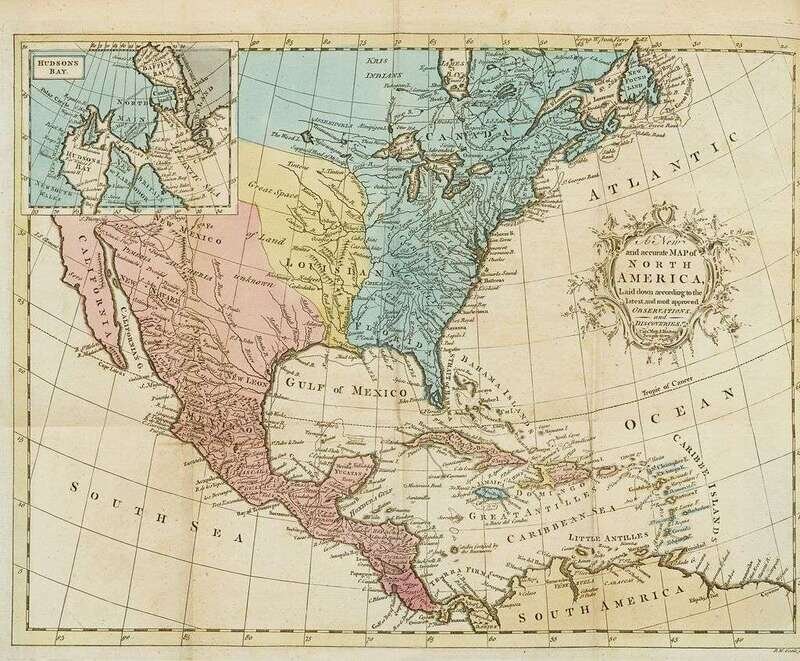
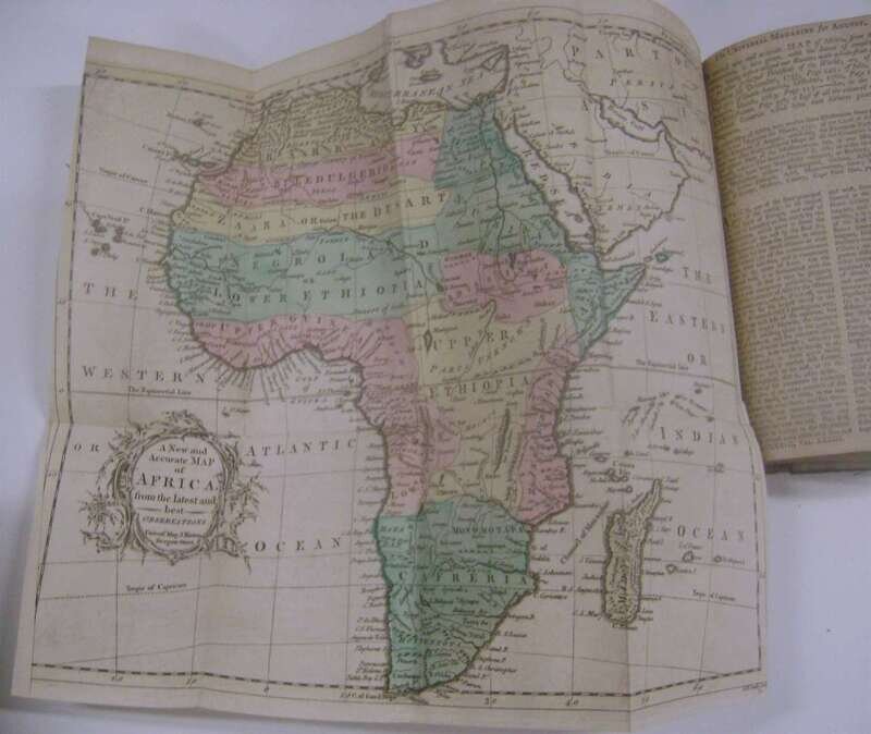
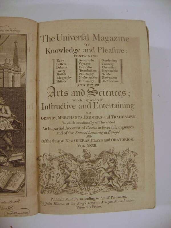
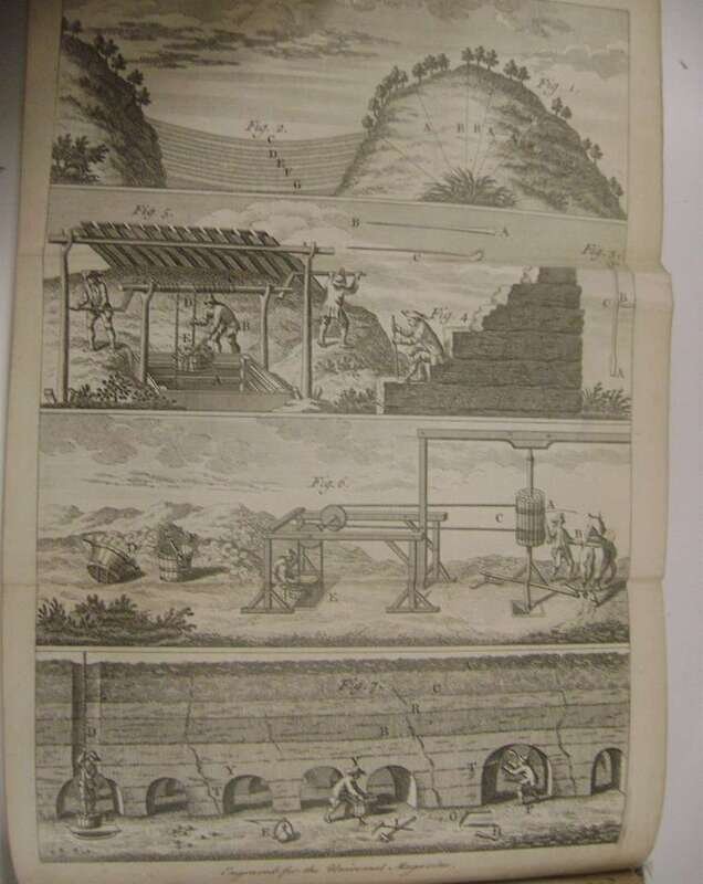
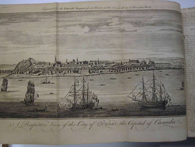
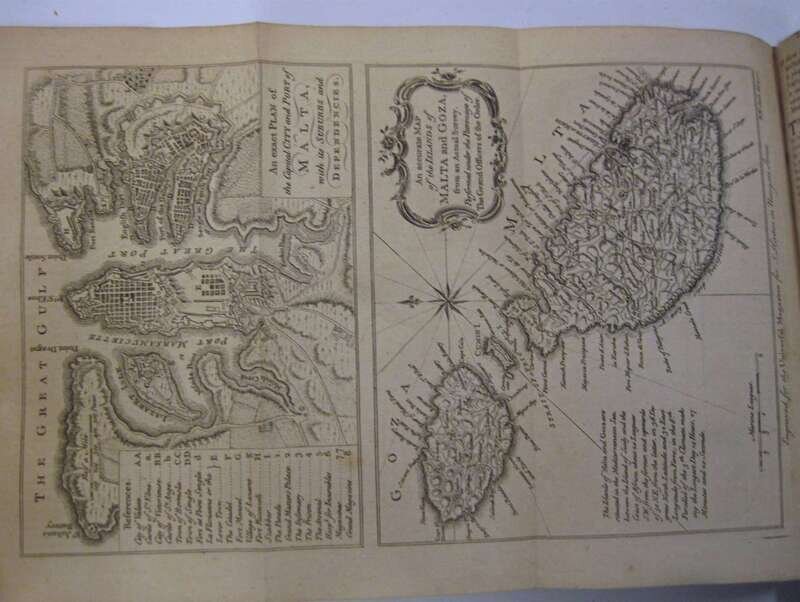
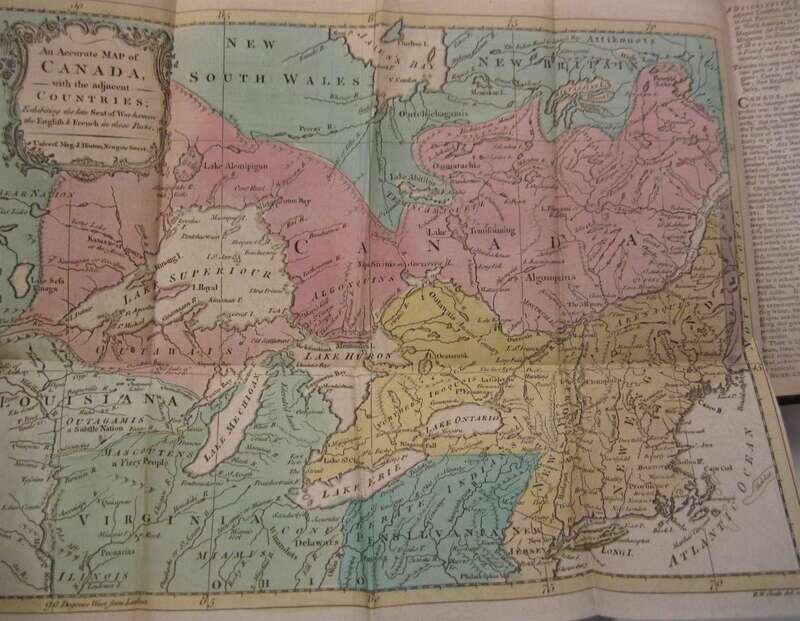
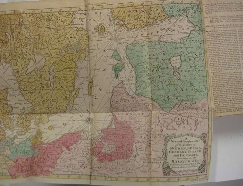
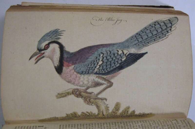
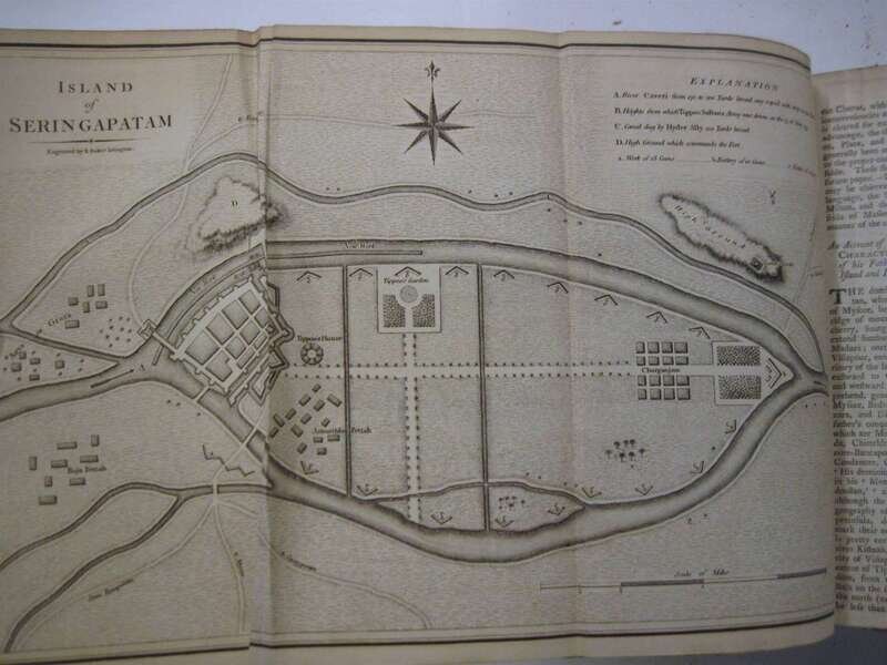
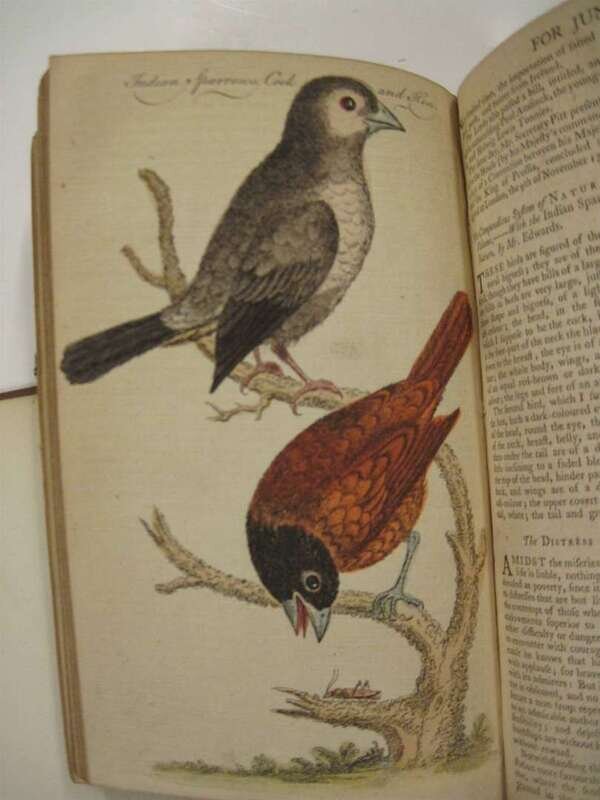
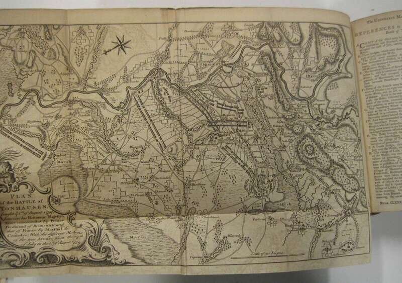
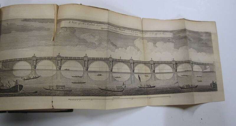
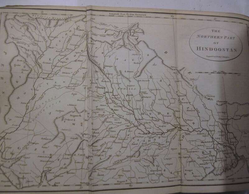
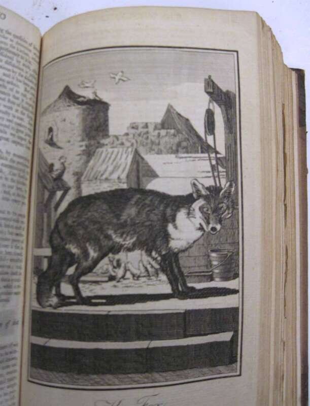
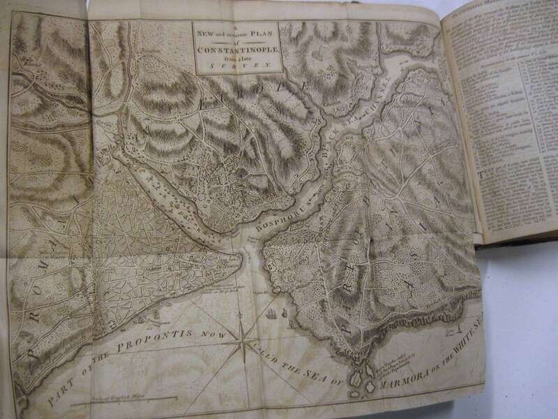
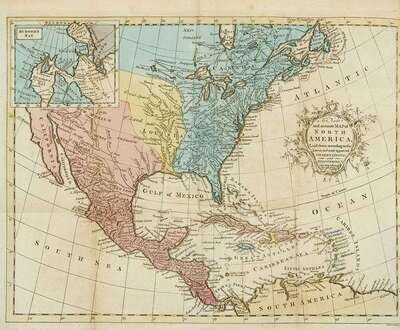
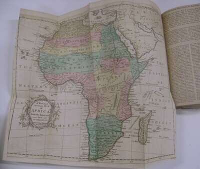
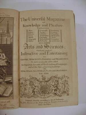
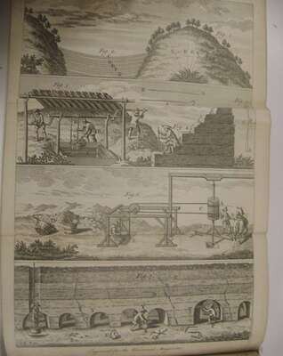
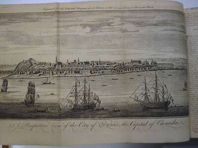
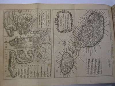
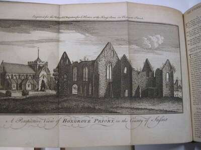
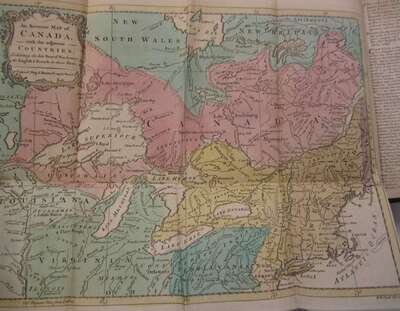
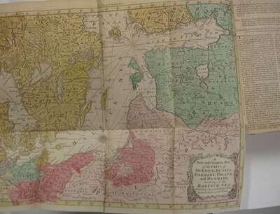
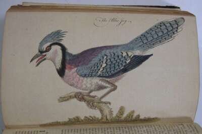
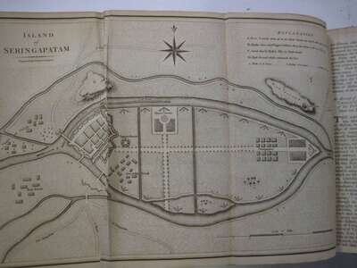
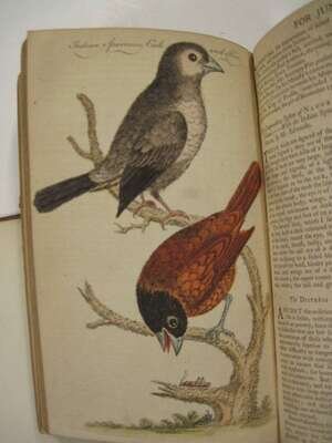
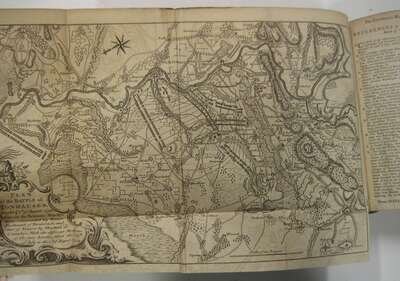
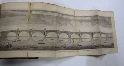
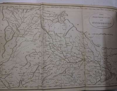
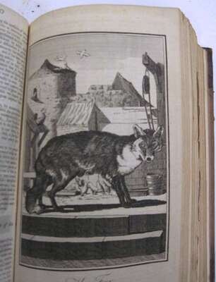
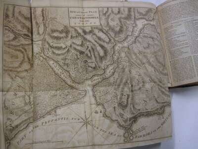
(Mid-18th Century Maps of North America.) The Universal Magazine.... London: John Hinton, 1754; 1759; 1760; 1763; 1765; 1770-1; 1789-90. Vol 14; 24; 26; 28; 32; 36; 40; 46; 48; 84; 86; 88; 90. 8vo, contemp. calf, gilt-lettered spines; some bindings defective. With engraved frontispieces, many fold maps and dozens of hand-colored natural history subject plates. Some maps/plates of note include: 1754- Perspective of the Cape of Good Hope; 1754 - "An Accurate Map of English Colonies in North America bordering Ohio."; 1759- Fold plan of Quebec, Fold map of the West-Indies; hand-colored fold maps of the Netherlands and Germany; a plan of River St. Lawrence; plan of St. Lawrence during the Siege of Quebec; 1760 hand-colored fold maps of the Balkans, Mediterranean & United Kingdom; a 1761 hand-colored fold map of Canada, fold map of Malta; 1763 color fold map of North America & Africa; a 1770 fold map of Constantinople; 2 1792 fold maps of India; Not fully collated, presumed complete for volumes present. Ex-library bookplates to front paste down. Dusty. Scattered spotting and discoloration.