Condition Report
Contact Information
Lot 282
Lot Description
174 vols. 174 vols.
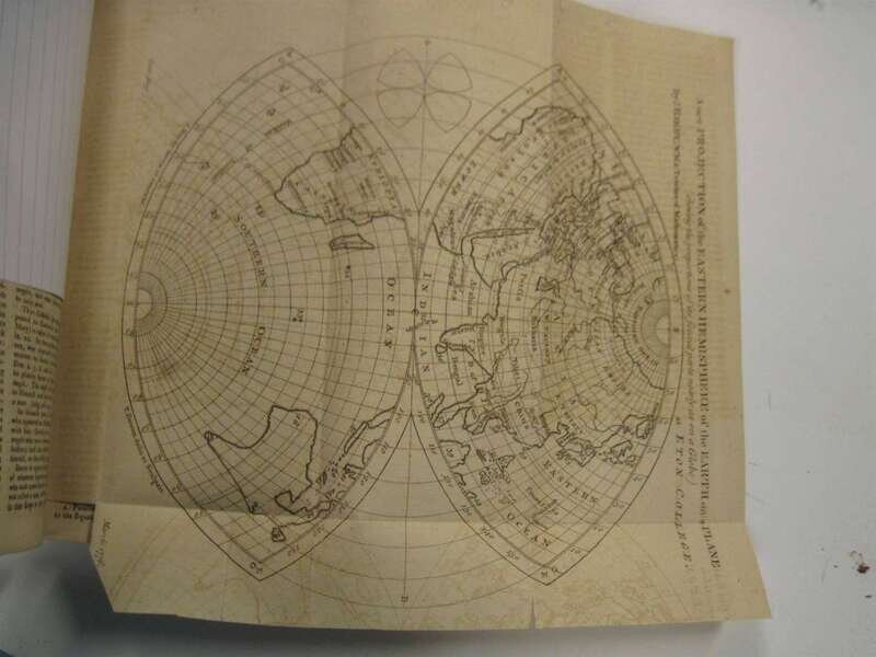
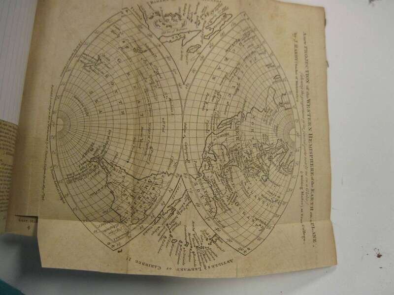
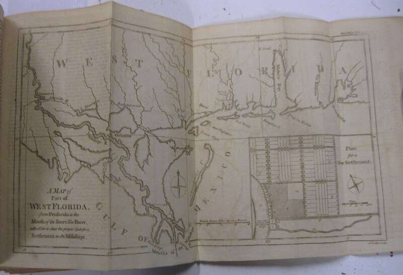
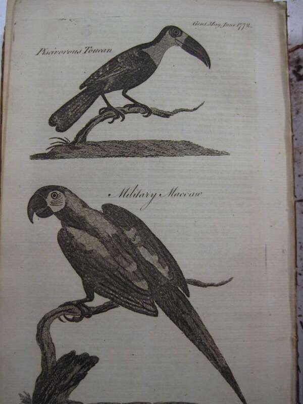
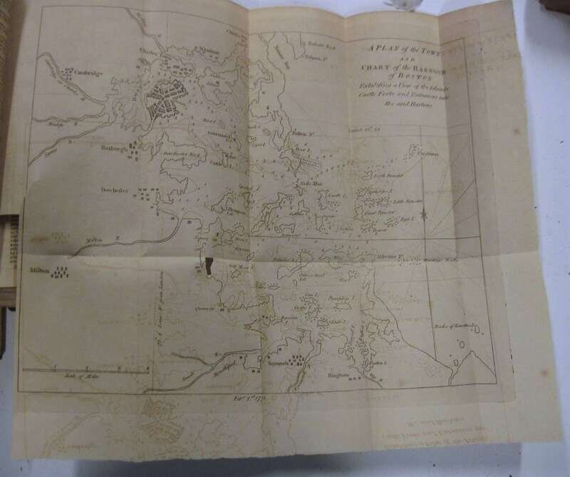
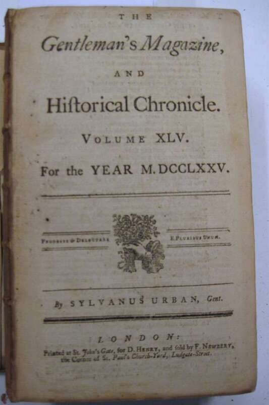
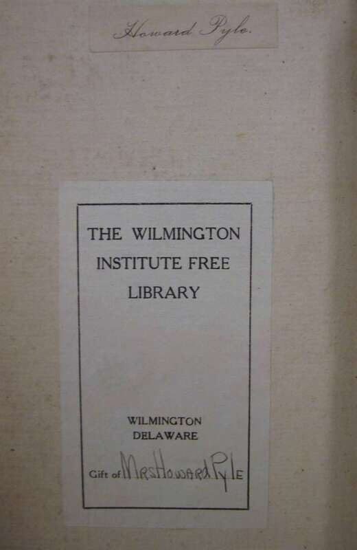
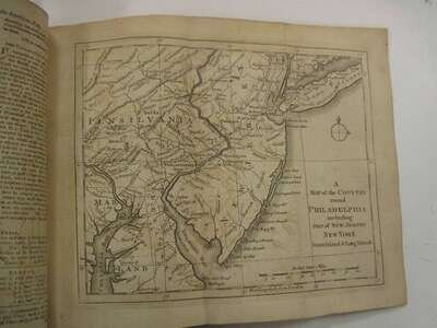
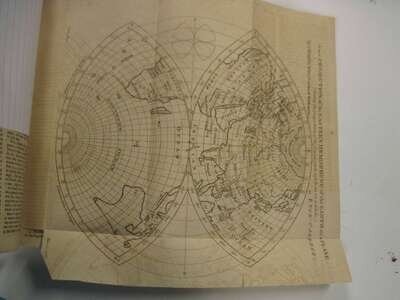
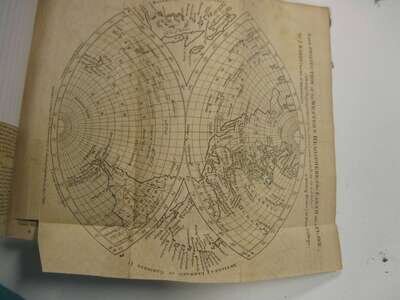
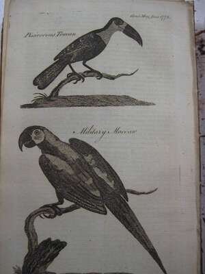
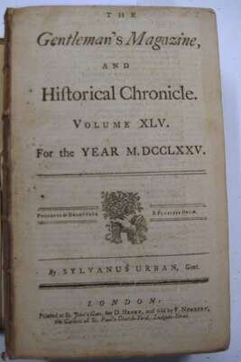
(Numerous American Maps.) (Ex-libris Howard Pyle). Urban, Sylvanus. The Gentleman's Magazine; or Monthly Intelligencer. London: 1733-1861, starting with vol. 3; 8vo, some contemp. calf; some 3/4 calf & marbled bds; various conditions, many bindings defective, bds detached and bindings separating. Includes early North American, South American & other World maps, many fold. Also includes views, natural history subjects, road maps & plans. Some scattered discoloration, spotting and soiling. Sold with all faults.
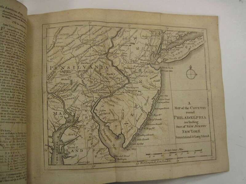
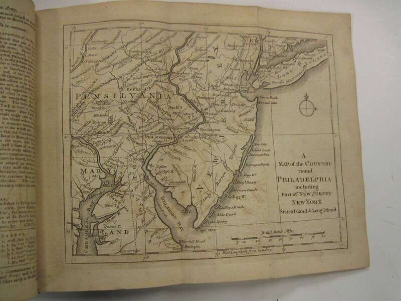
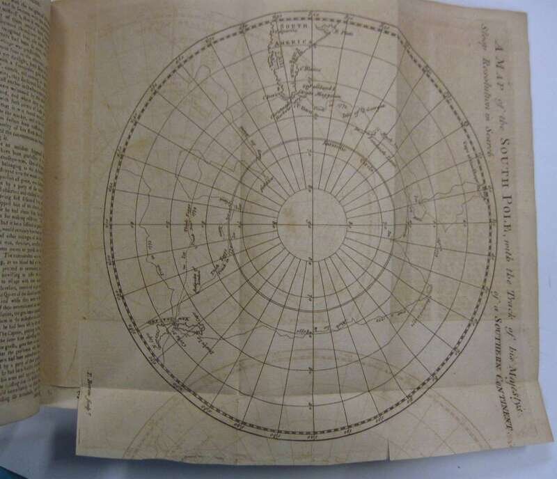
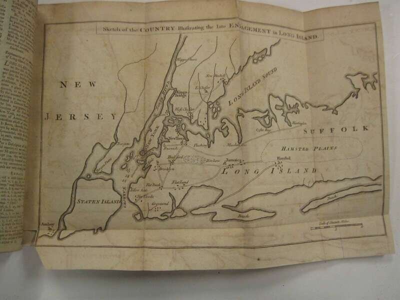
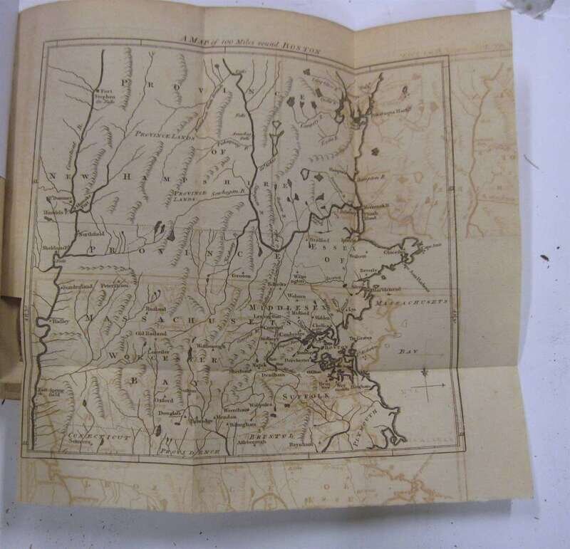
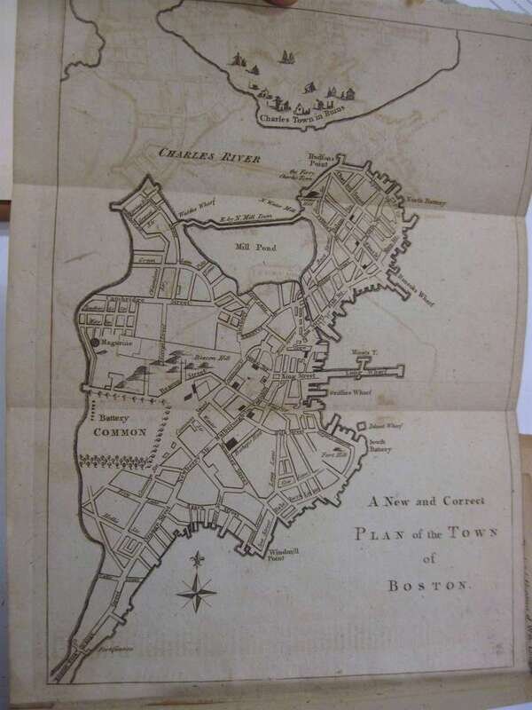
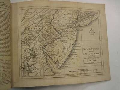
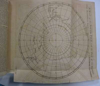
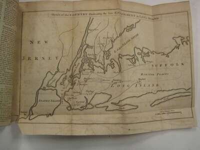
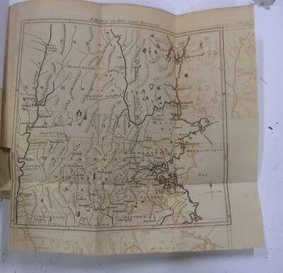
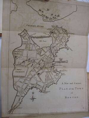
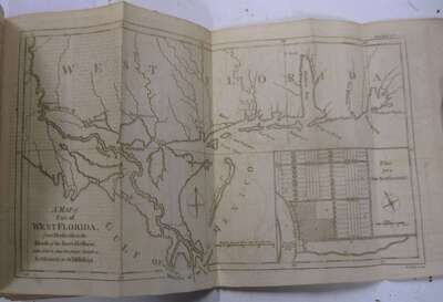
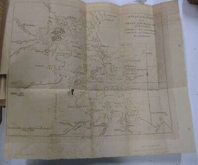
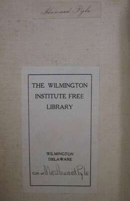
Includes first British printing of the Declaration of Independence. Vol. 46, August. 1776. p 361-362; early maps include: 1754- Map of British American Plantations; 1758- Map of New Continent; 1759- Map of Orleans & Quebec, plan of the River St. Lawrence; 1762- Map of the British Empire in North America; 1763- Chart of the Antarctic Polar Circle; 1769- Map of Maryland; 1772- Map of West Florida; 1775- three maps of Boston; 1776- maps of Philadelphia & Connecticut & New York and 1777- Map of Philadelphia. Many volumes complete. Ex-libris Howard Pyle, with his printed tickets on front paste-downs, and ex-library bookplate bearing "Gift of Mrs. Howard Pyle." Includes scarce 1821 Complete List of the Plates and Woodcuts... London: John Nichols, 1821 and 4 volume Index. Not fully collated. Select list of maps available by request.