Condition Report
Contact Information
Auction Specialist
Lot 530
Sale 1277 - Beyond a Cincinnati Legacy: The Collection of Mr. and Mrs. Charles Fleischmann III, Part II
Nov 17, 2023
10:00AM ET
Online / Cincinnati
Own a similar item?
Estimate
$400 -
600
Price Realized
$252
Sold prices are inclusive of Buyer’s Premium
Lot Description
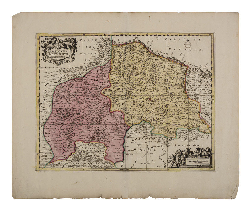
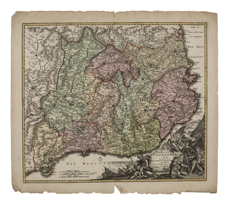
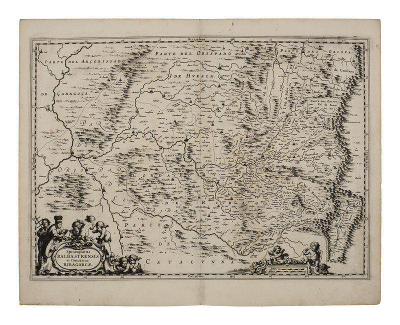
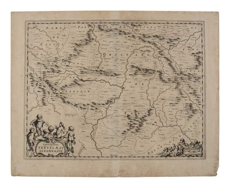
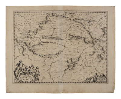
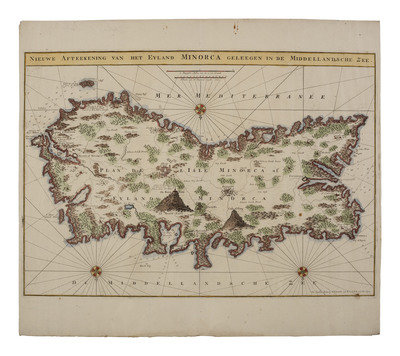
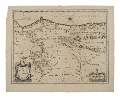
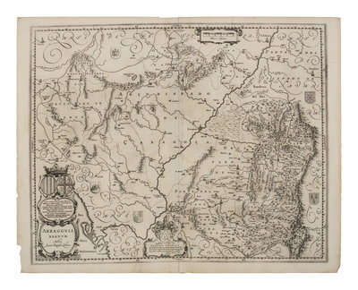
[MAPS]. A group of 8 early European maps, comprising:
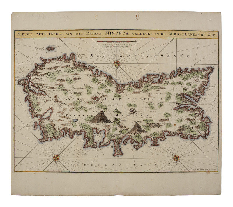
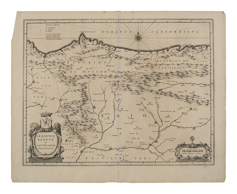
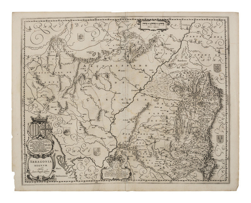
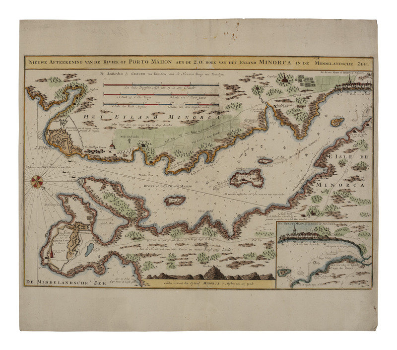
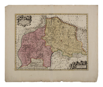
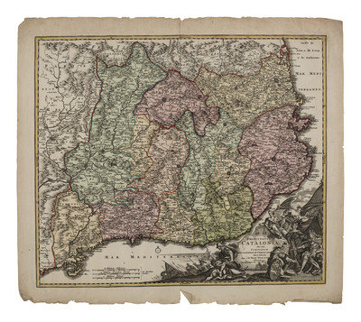
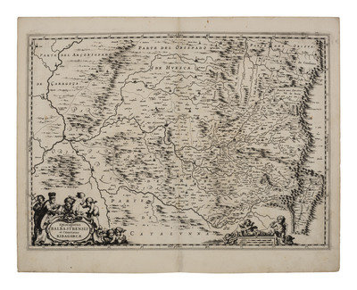
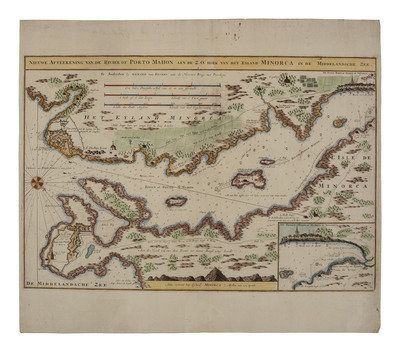
Episcopatus Balbastrensis et Comitatus Ribagorcae. Approx. 22 x 17 1/2 in. -- Pamplonae et Iacetanorum Episcopatus. Approx. 24 x 20 in. -- Principatus Cataloniae nec non Comitatuum Ruscinonensisz Et Cerretaniae Nova Tabula . . . Approx. 25 x 22 in. -- Nieuwe Afteekening Van Het Eylandt Minorca Geleegen in De Middellandshe Zee. Approx. 24 x 20 1/4 in. -- Nieuwe Afteekening van de Rivier of Porto Mahon aen de Z.O. Hoek van Het Eyland Minorca In de Middelandsche Zee. Approx. 24 x 20 1/4 in. -- Legionis Regnum et Astvriarum Principatus. Approx. 22 x 17 1/2 in. -- Episcopatus Tervelae, et Albarrasin. 22 x 17 1/2 in. -- Arragonia Regnum. Auctore Joanne Baptista Labanna. 22 x 17 1/2 in.
Maps with various publishers and publication dates spanning approximately 1600s-1700s. Conditions vary, some folded or rolled, all with toning and light soil, some with adhesive and backing remnants, and chipping along edge lines.
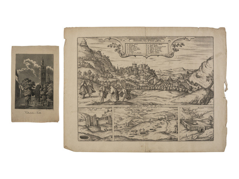
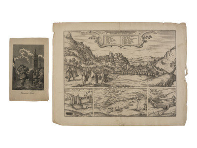
[With:] Amoenissimus castri Granatensis, vulgo Alhambra dicti, ab Oriente prospectus. Braun & Hogenberg, engraved by George Huefnagel, 1564. Folio - oblong. With three smaller views beneath. Spanish text behind. -- Kathedralen i Sevilla. A scarce Danish engraving of Seville in the moonlight, ca 1820.
Together, 8 maps and 2 engravings.
This lot is located in Cincinnati.