Condition Report
Contact Information
Lot 298
Lot Description
1 vol. + 1 piece. 1 vol. + 1 piece.
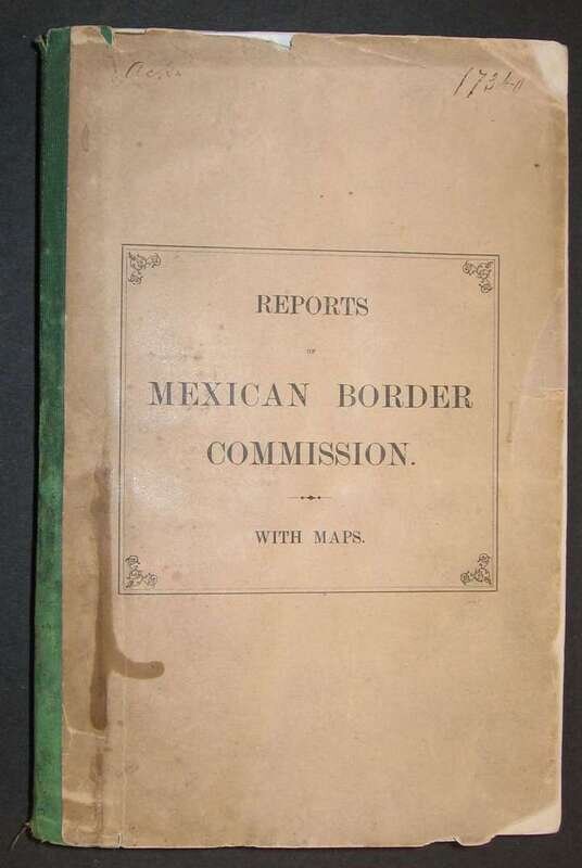
(Comision de le Pesquisidora de las Frontera del Noroeste - Mexican Border Commission.) Reports of The Committee of Investigation Sent in 1873 by The Mexican Government to The Frontier of Texas. New York: Baker & Godwin, 1875. 8vo, orig. printed wrappers; creased, chipped at edges, some dust soiling. With 3 fold. maps - one extracted from volume: "Mapa del Rio Grande..." by M.J. Martinez (Monterey, 1873), partly hand-colored lithographic map, 34 1/4 x 30 1/8 inches, some wear & separations at folds; expertly conserved - separated from vol.; "A Map of The Indian Territory Northern Texas and New Mexico... by Josiah Gregg" (New York, 1844), 12 1/4 x 15 inches, 2 small close tears at margins, 1 just extending into body of map; "Coahuila and Nuevo Leon" by F.L. Meier, (Monterey, 1873), orig. outline color, 15 1/2 x 10 3/16 inches, tear at left center margin extending 3 1/2 inches into image.
English language issue of the official Mexican Commission's report on the troubled U.S./Mexico border. Rare with all maps.