Condition Report
Contact Information
Lot 297
Lot Description
3 vols. 3 vols.
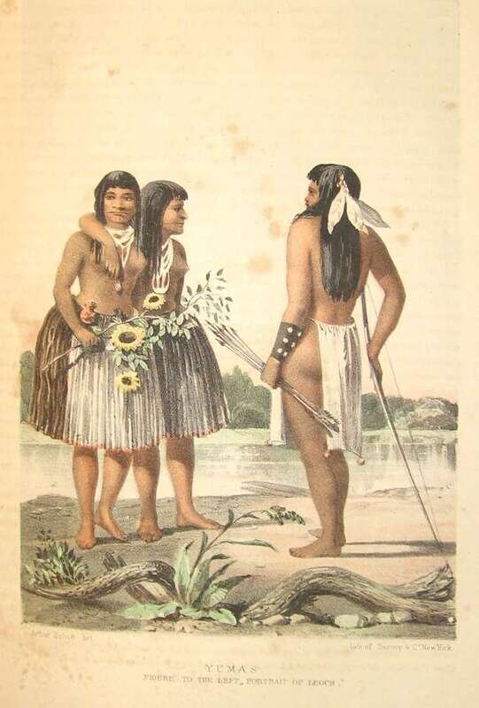
Emory, William H. Report on The United States and Mexican Boundary Survey. Washington: C. Wendell, 1857-1859. House Issue. 2 vols. in 3. Lg. 4to, modern grey cloth. Fold. map in vol. 1, "Map of The United States and Their Territories Between The Mississippi and The Pacific Ocean and Part of Mexico," Thomas Jekyll, 1857-8, 20 x 22 3/4 inches, 4 inch tear at top left margin, faint mark across map 3 inches from bottom, some light offsetting. Numerous plates, incl. 25 hand-colored bird plates, also color plates of Native Americans, plain natural history plates, views. Altogether, 2 maps (1 fold.), fold. chart, fold. profile + 346 plates. Minor dampstaining to frontis., title & other front matter of vol. 1, scattered light foxing, light occasional offsetting.
Howes E-146; Basic Texas Books 57