

Condition Report
Contact Information
Lot 293
Lot Description
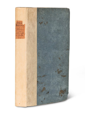
8vo (236 x 147 mm). Half-title, folding map, 5 engraved plates (2 folding). (Some minor spotting and creasing.) Original blue-gray boards, uncut (modern rebacking retaining old printed paper label, some wear and soiling). Provenance: Dudley Bell Priester (1923-2017), Mississippi River collector and bibliographer (bookplate, sold Bloomsbury, 20 November 2009, lot 61).
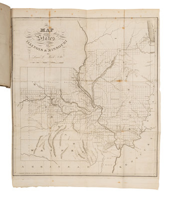
FIRST EDITION of one of the earliest books describing the Illinois settlement and present-day Missouri, "an important book. Beck gives the first full-length account of Illinois and Missouri, and the map, on the fairly large scale of 24 miles to the inch, is the first map of either state on such a large scale" (Streeter). The map depicts St. Louis as a rather large town, but Chicago, not yet sufficiently sized to justify a dot, is shown only by Ft. Dearborn and Chicago Creek. RARE: according to online records, only 4 copies of this work have appeared at auction in the last 40 years. Buck 180; Eberstadt 164-209; Graff 224; Howes B-297; Sabin 4231; Streeter Sale III: 1438.
Property from the Collection of Perry B. Hansen