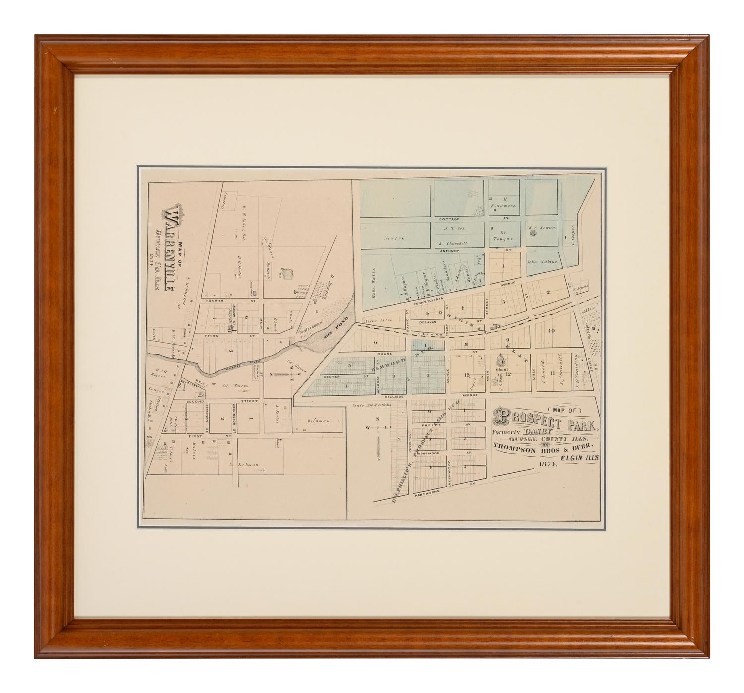
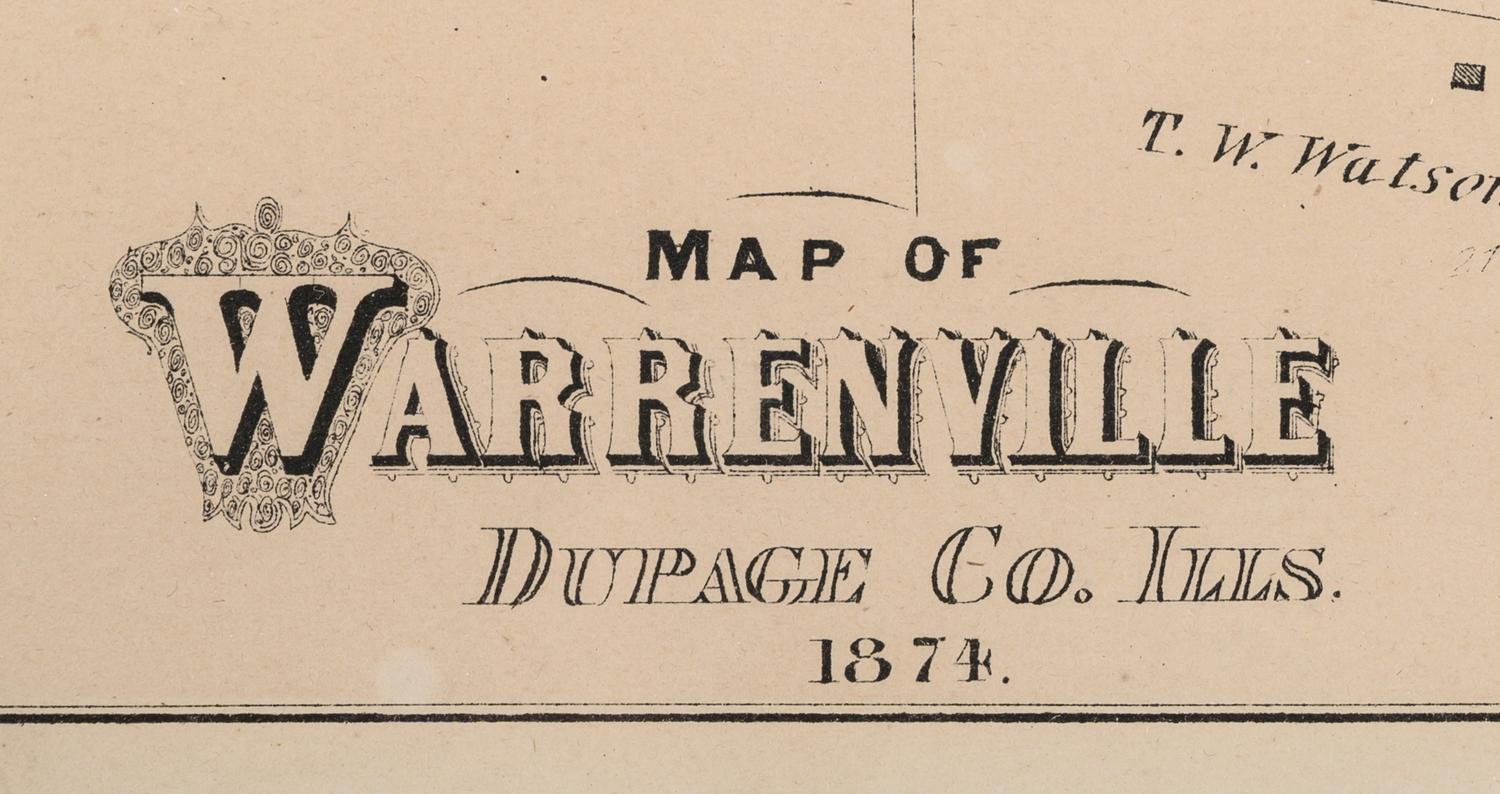
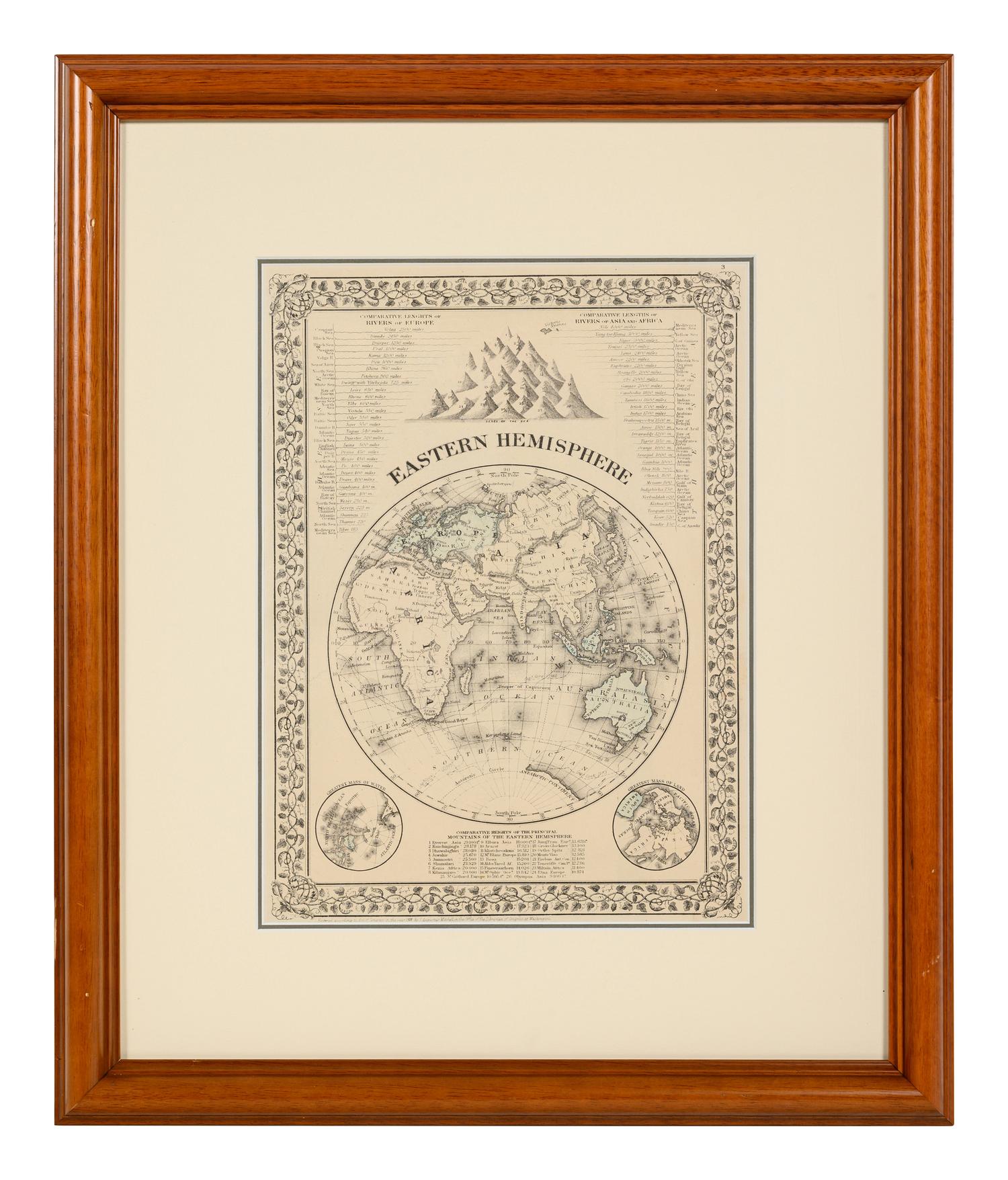
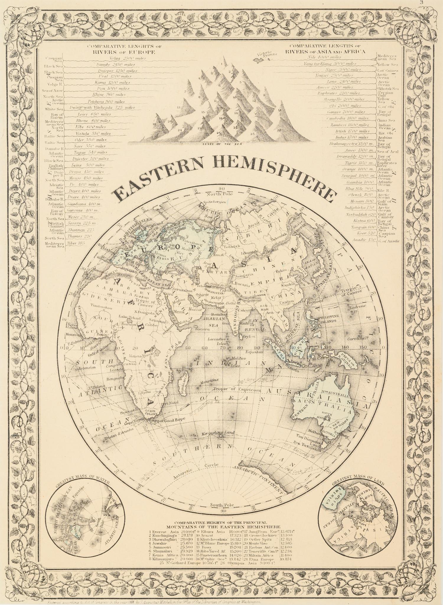
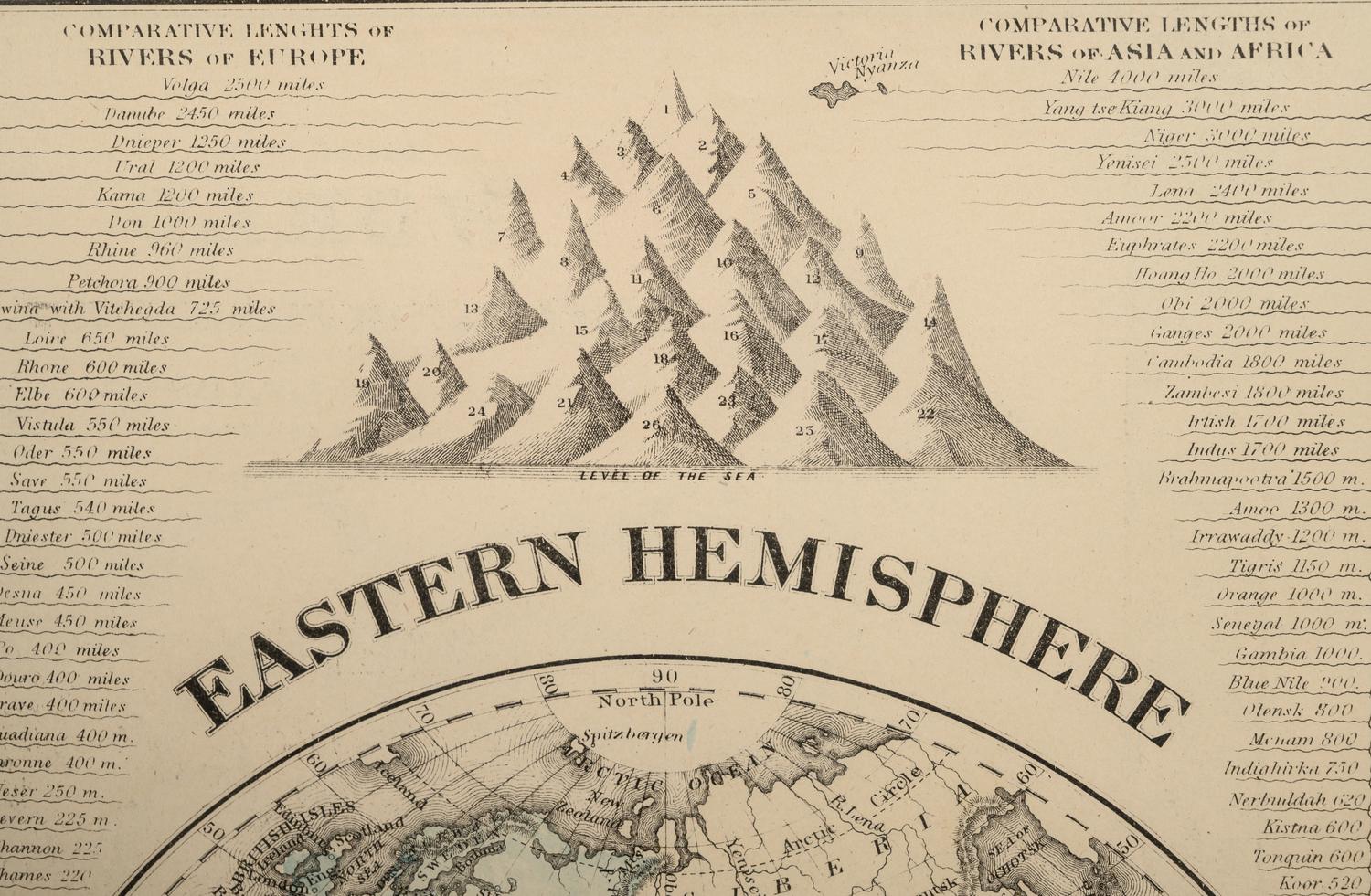
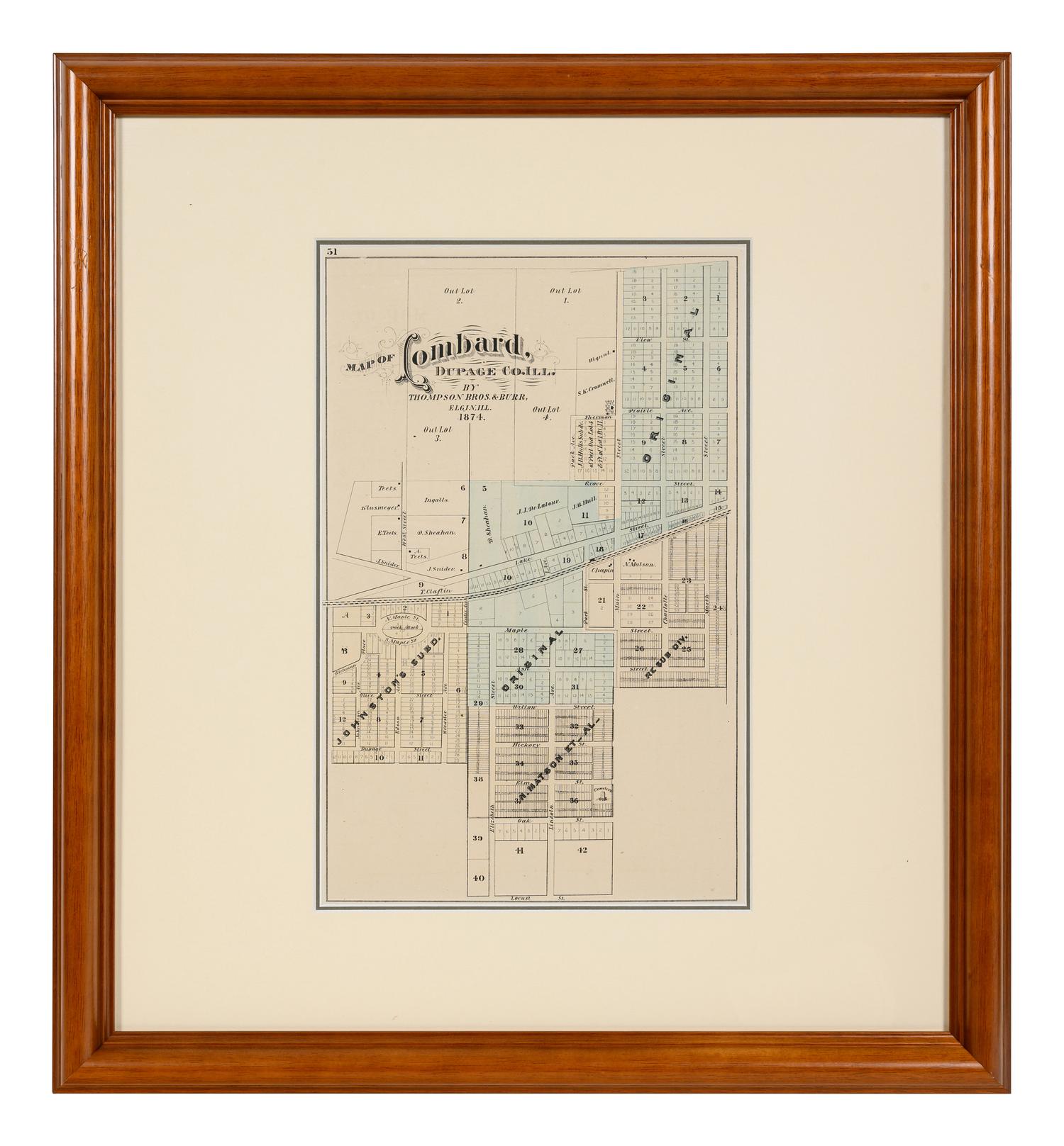
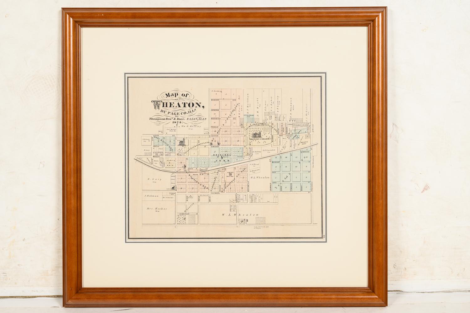
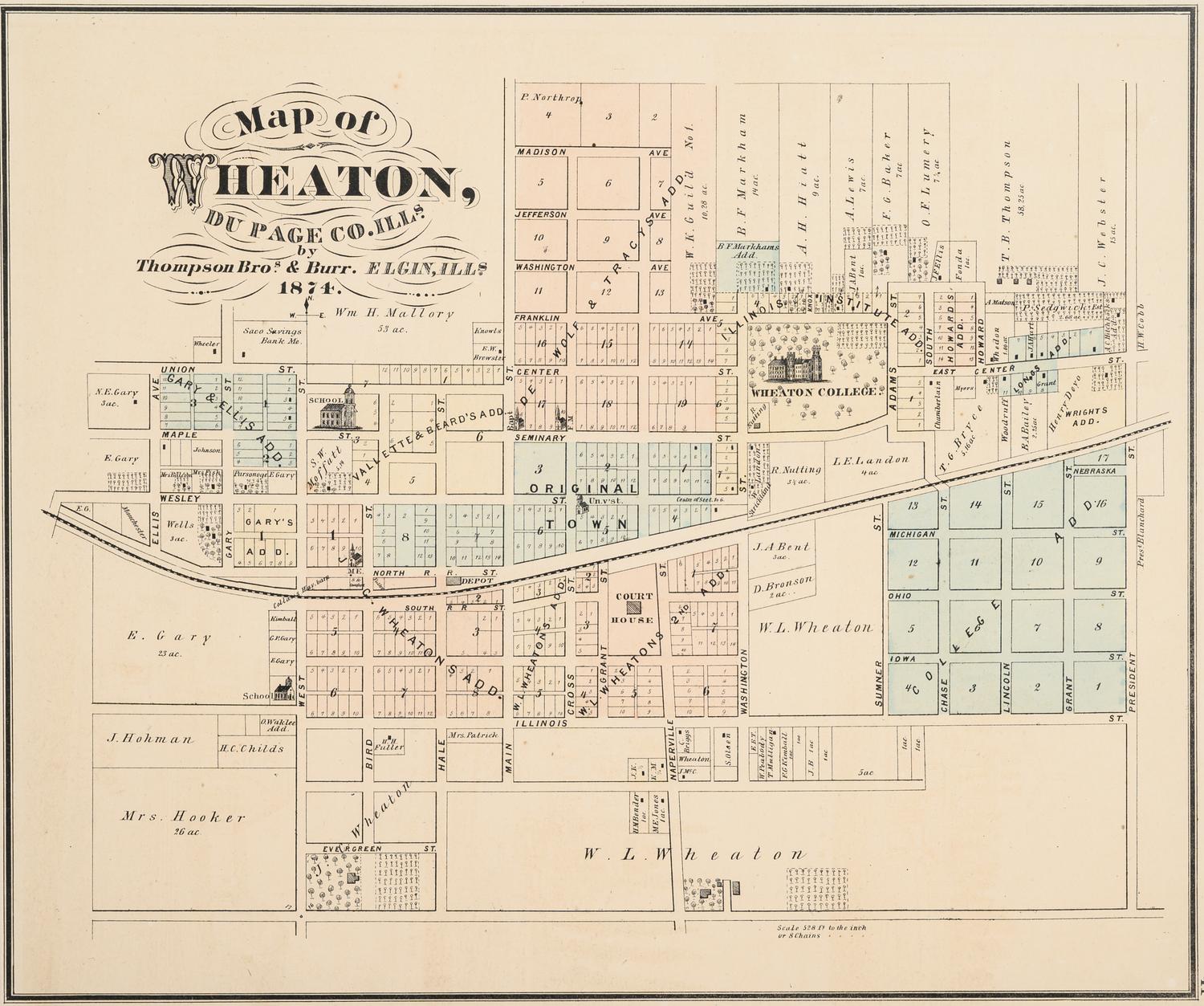
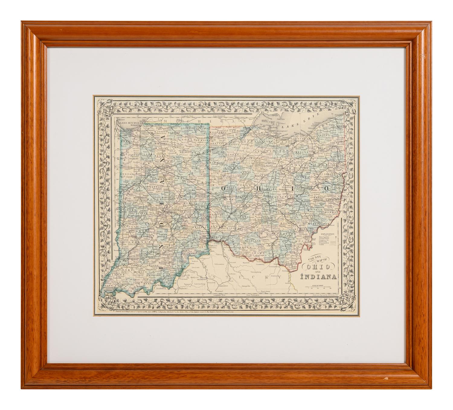
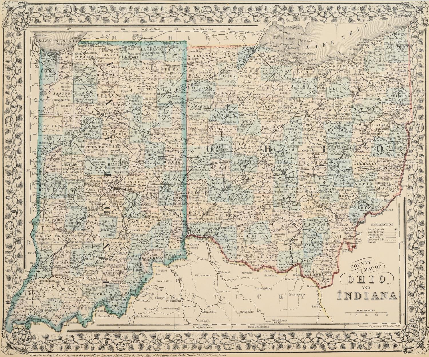
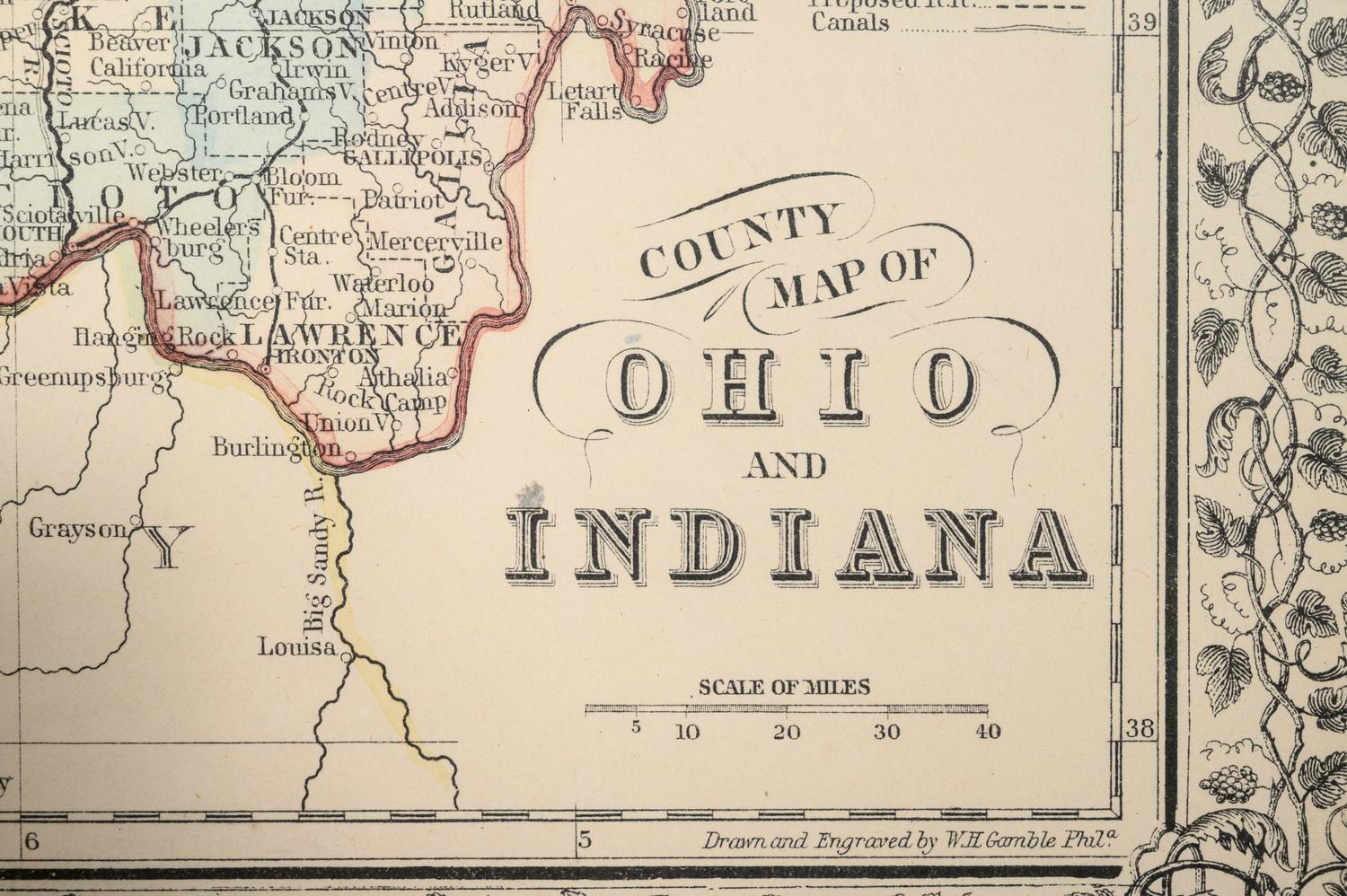
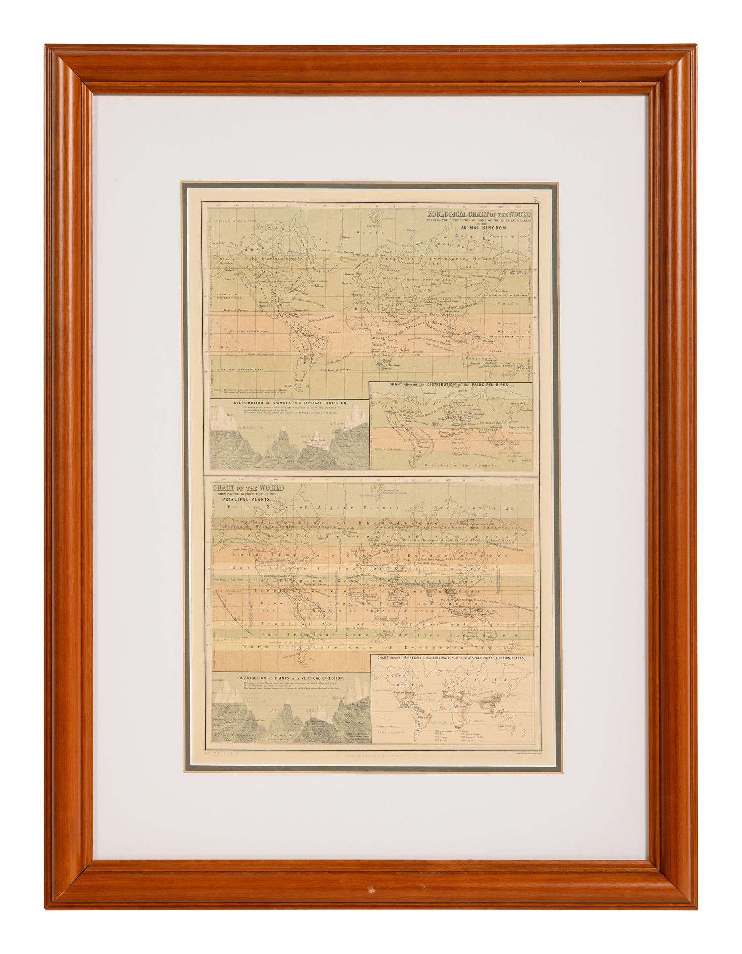
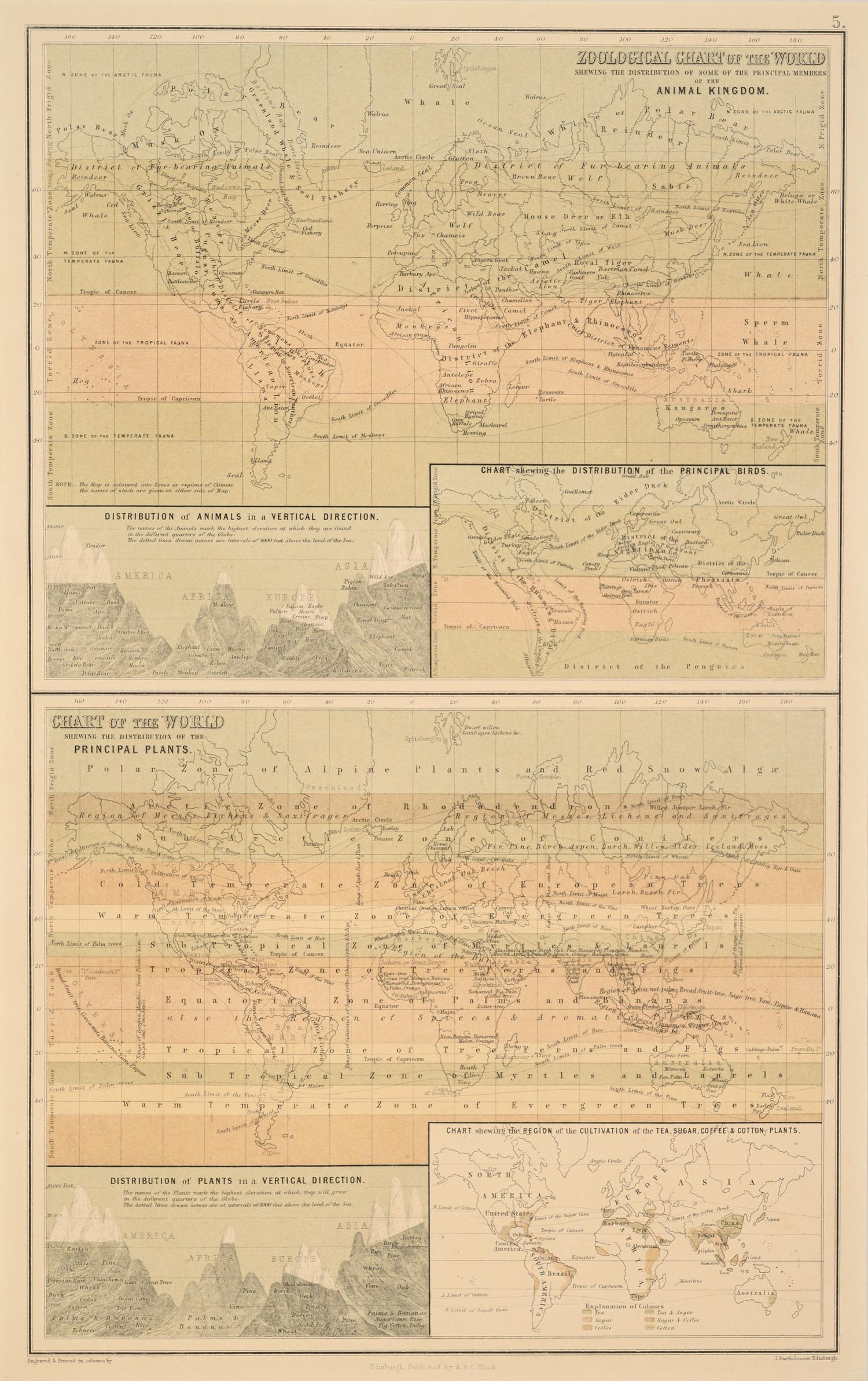
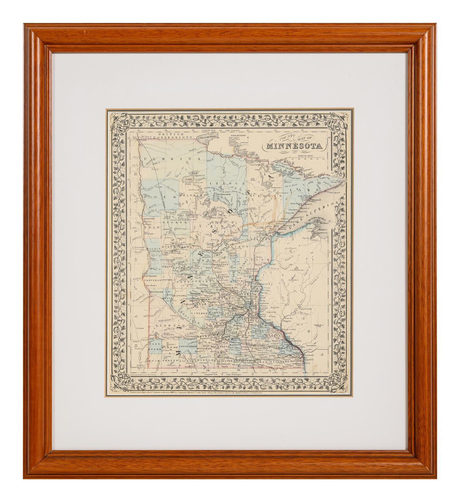
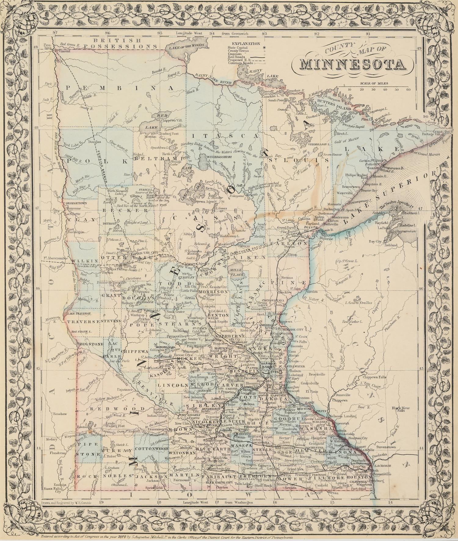
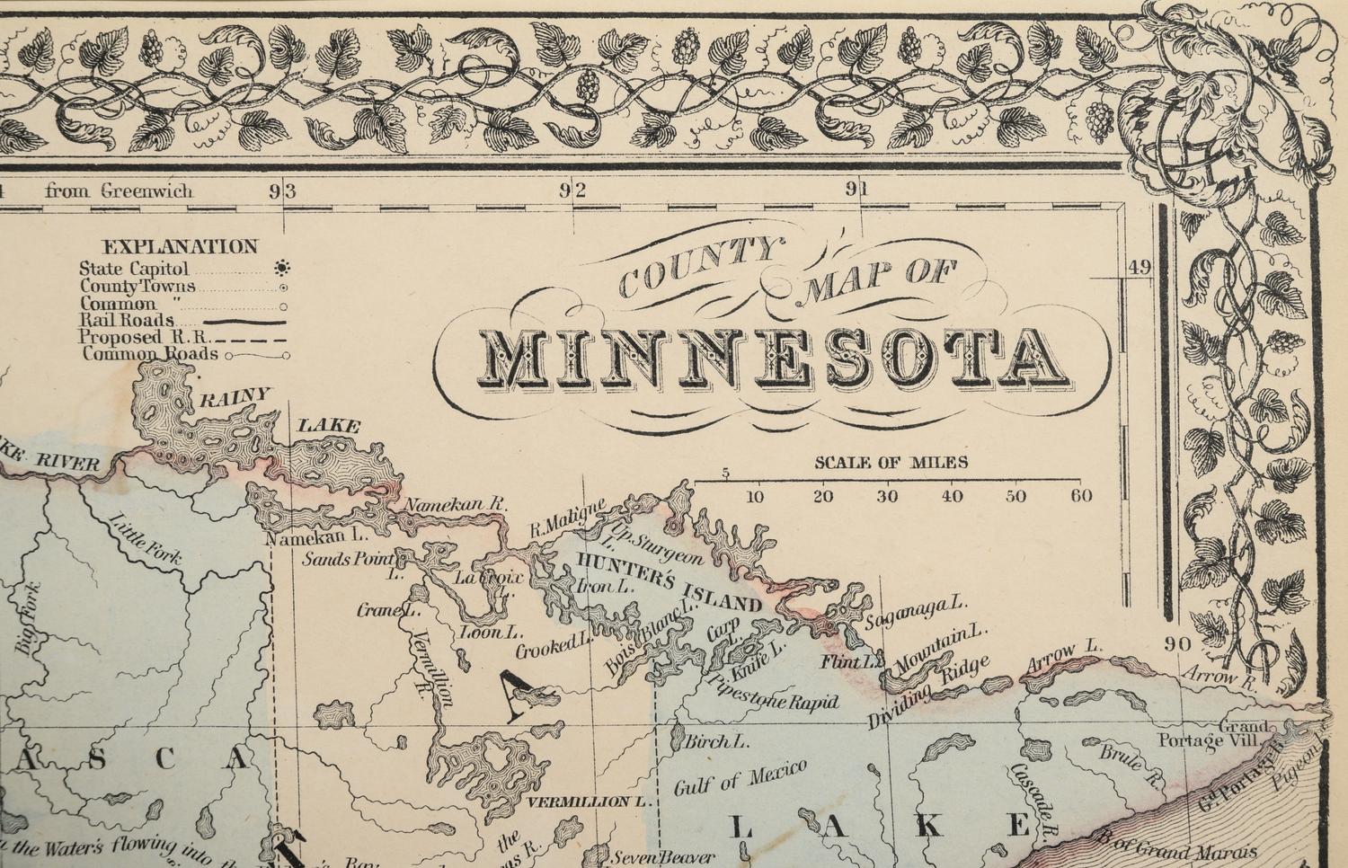
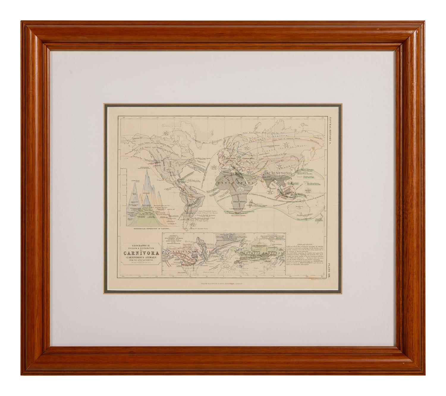
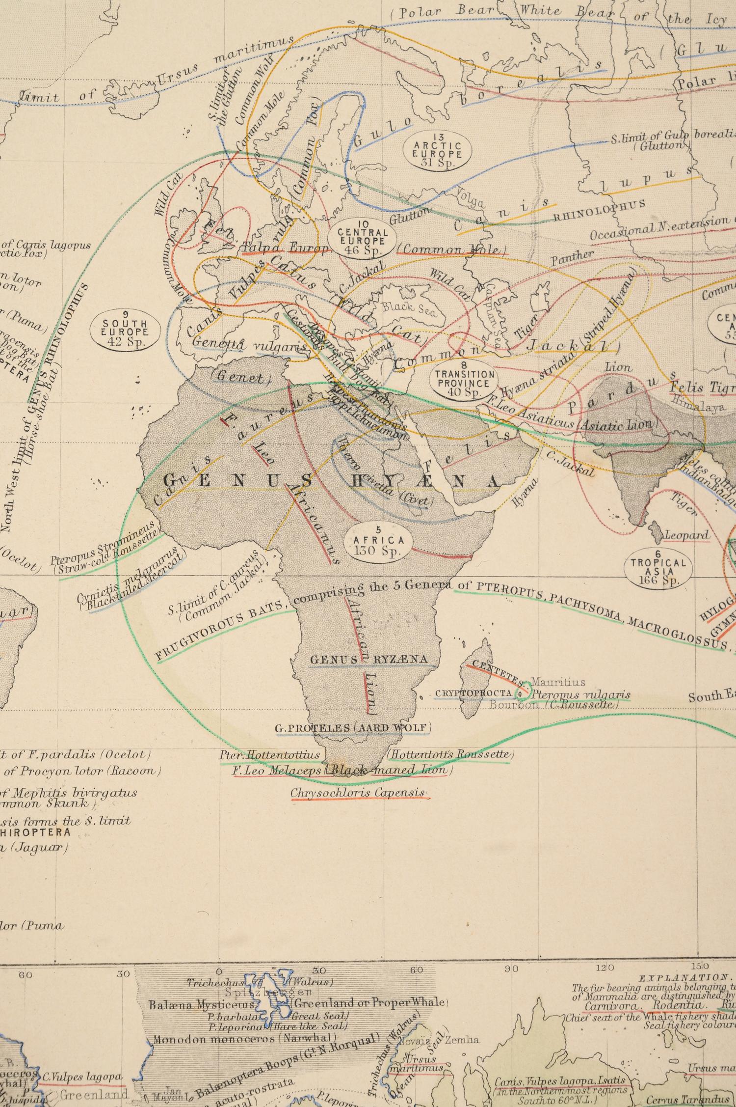
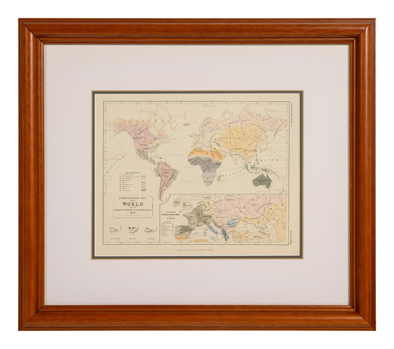
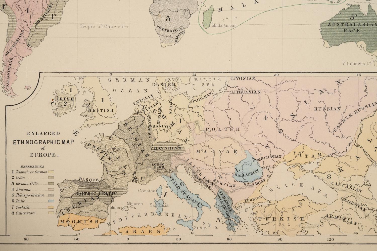
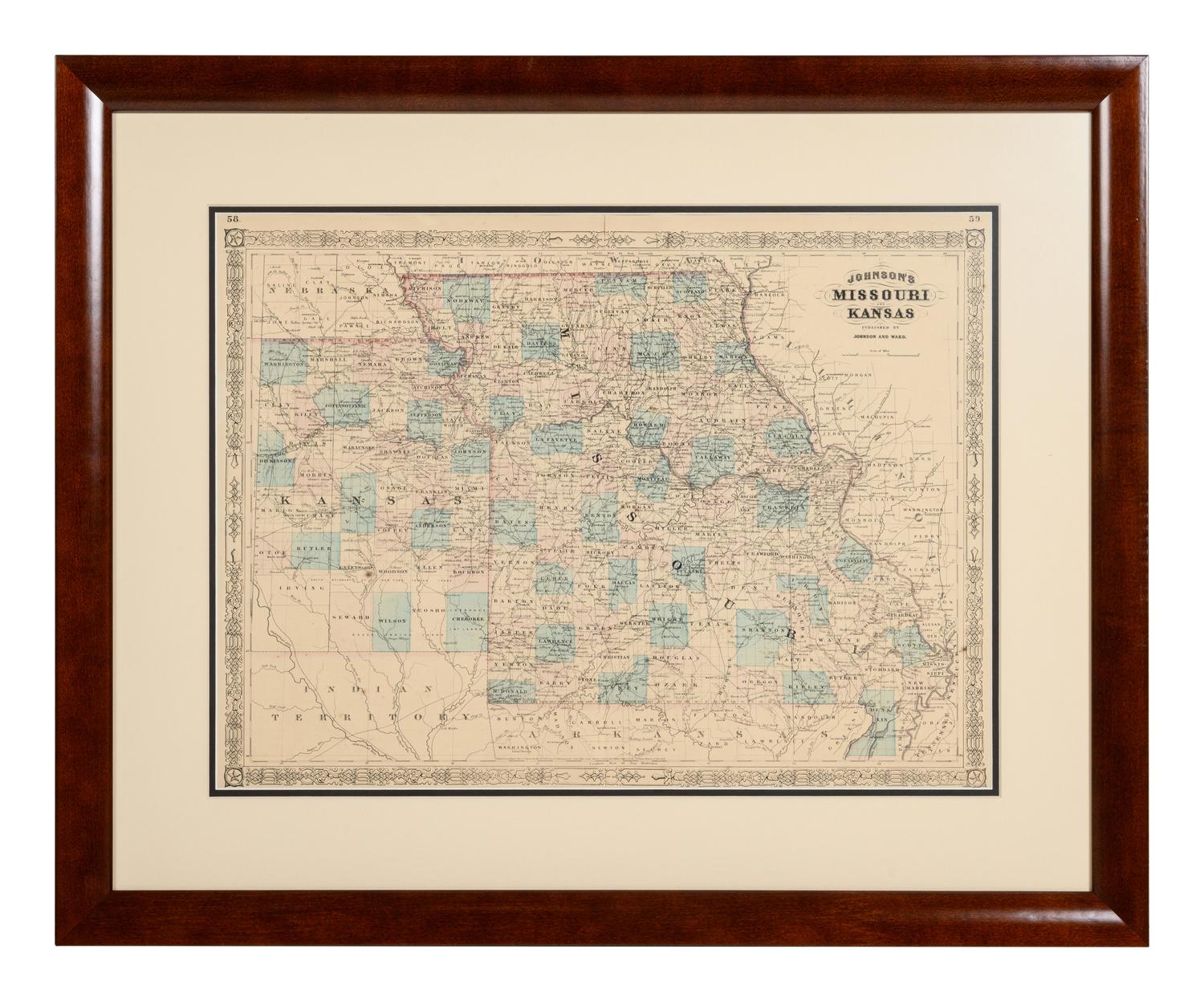
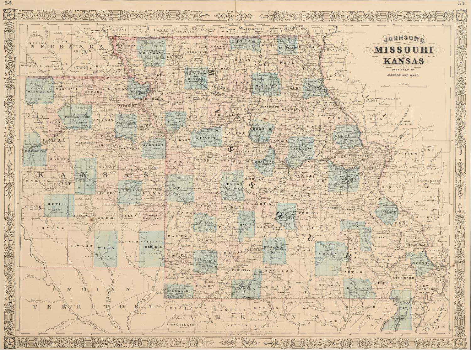
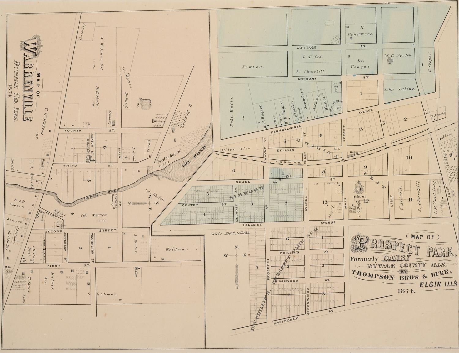
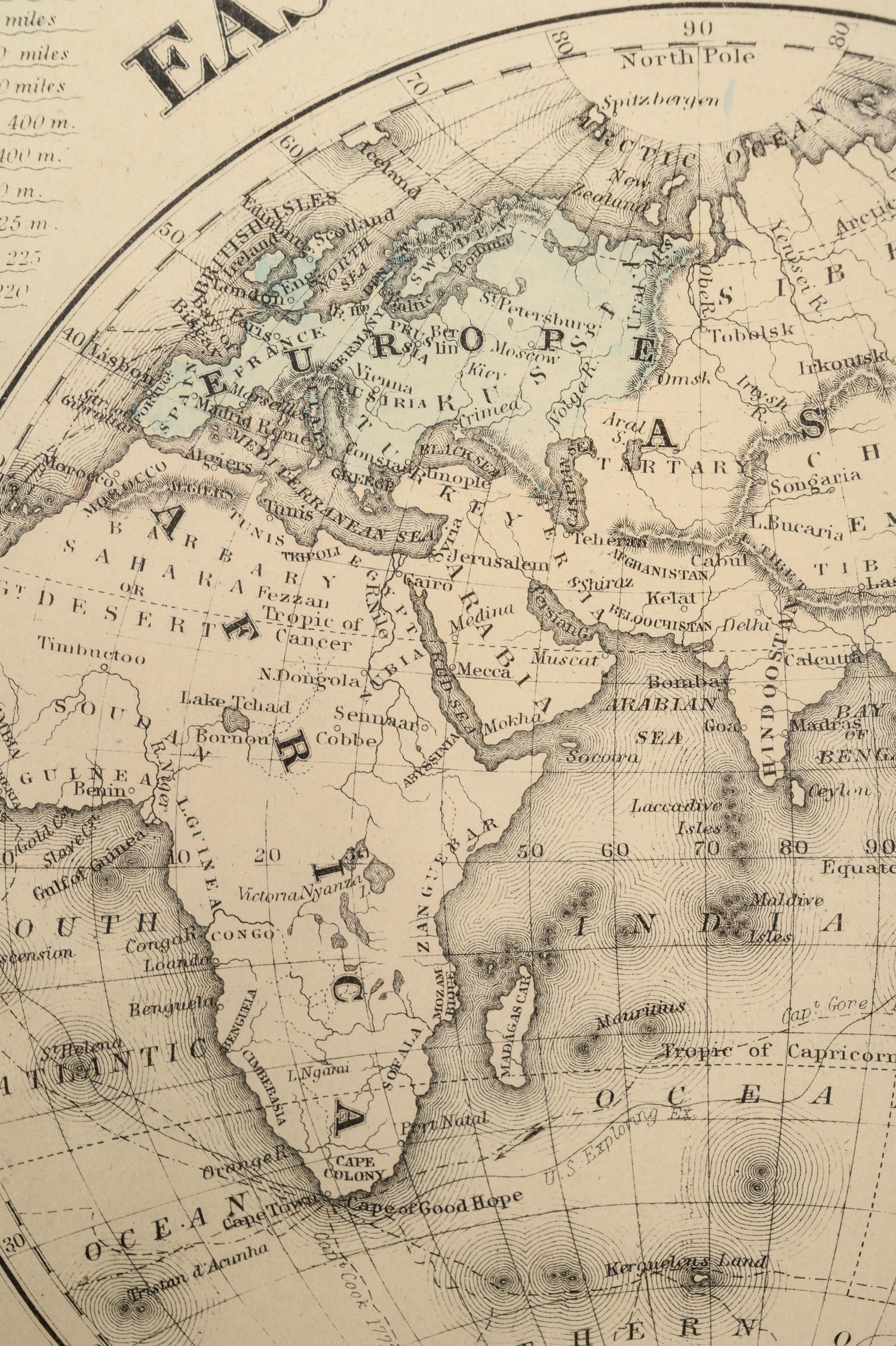
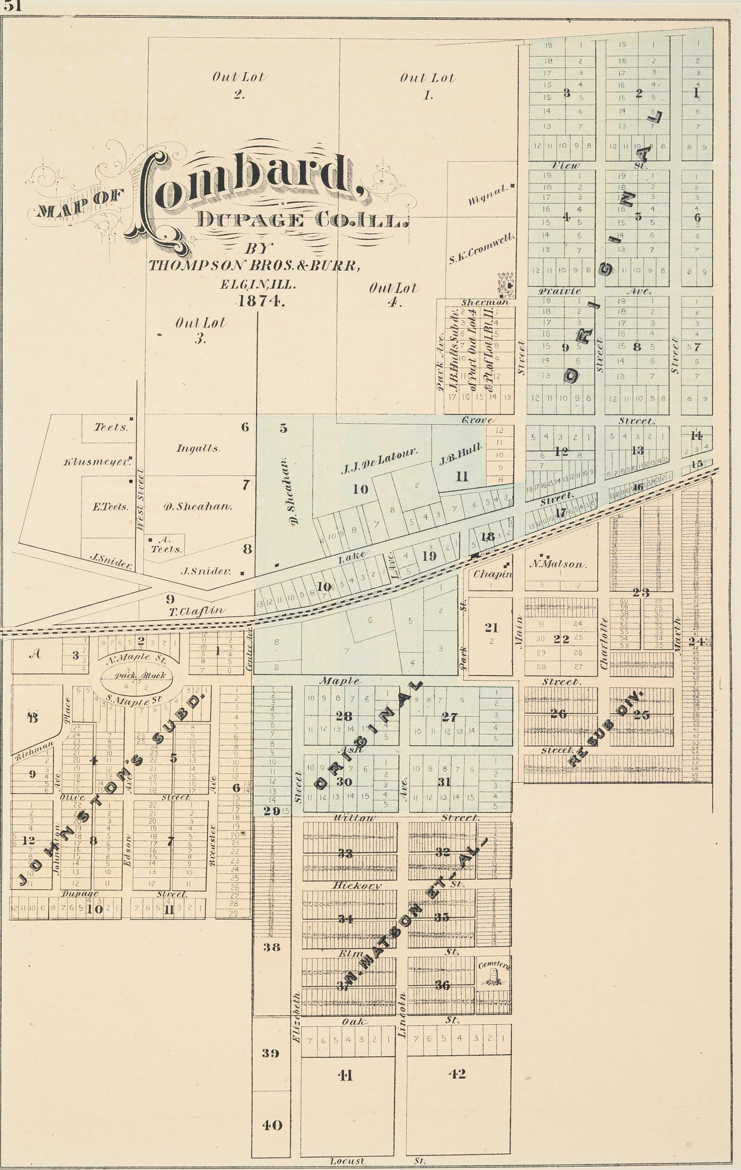
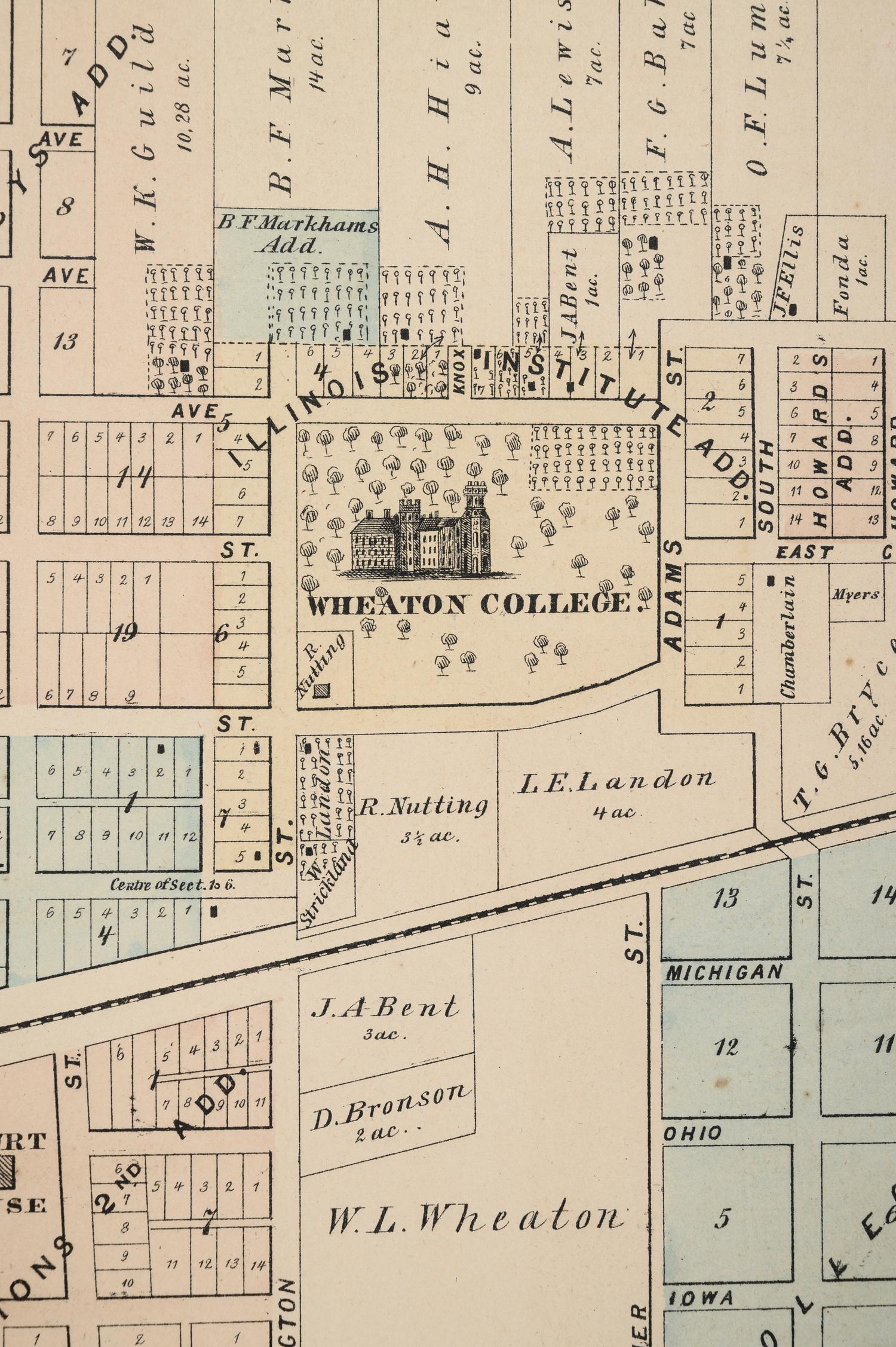
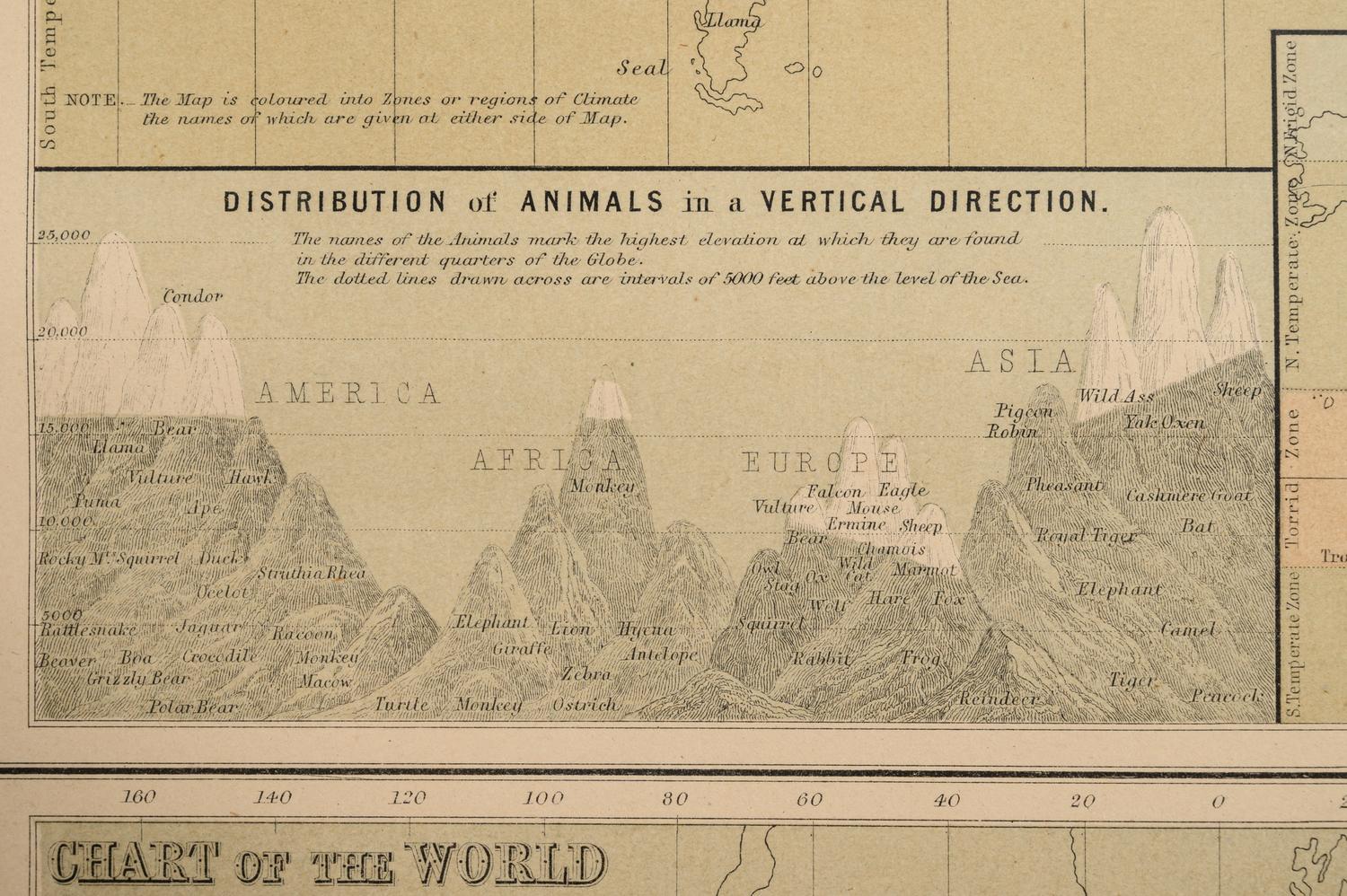
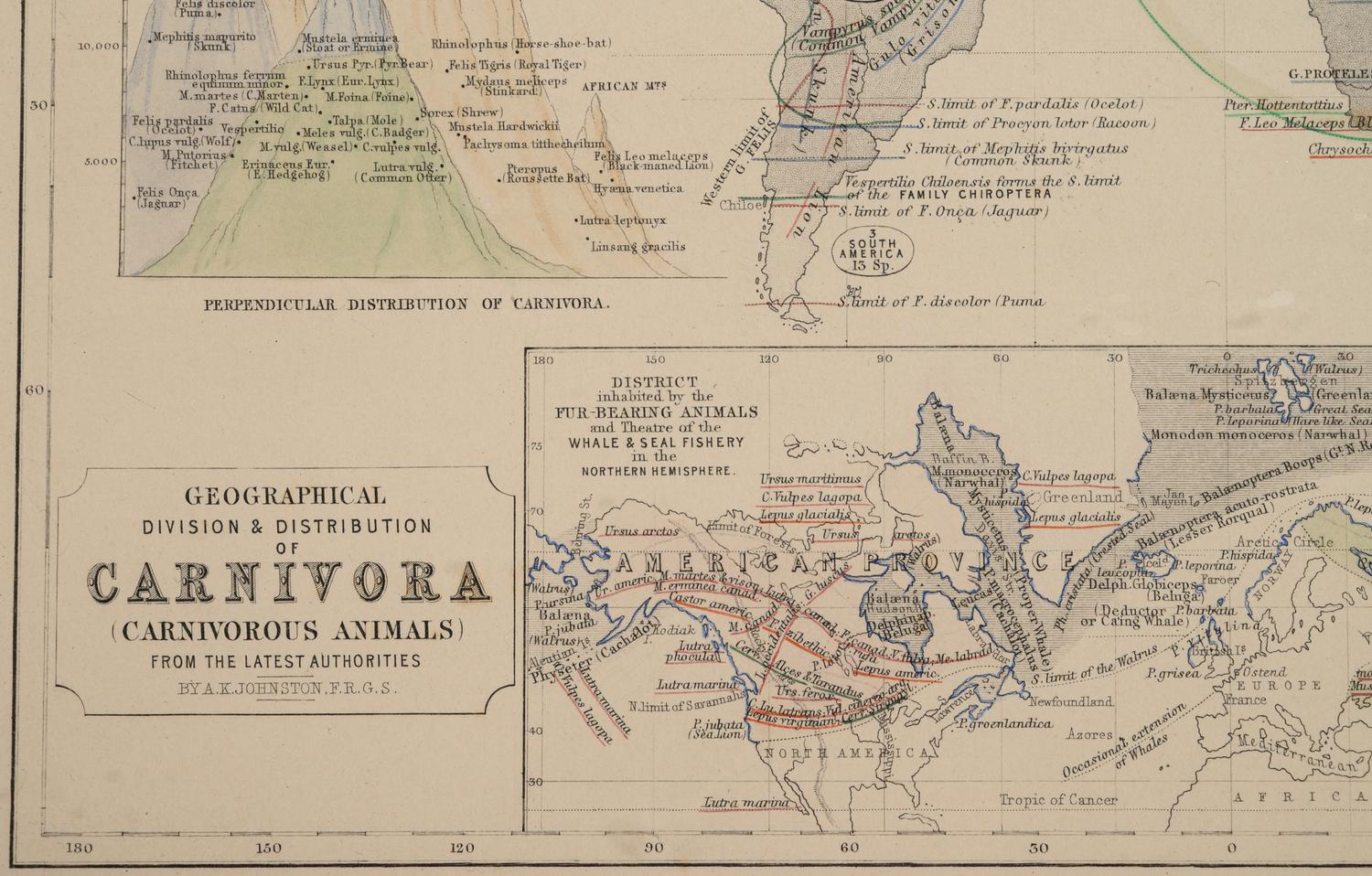
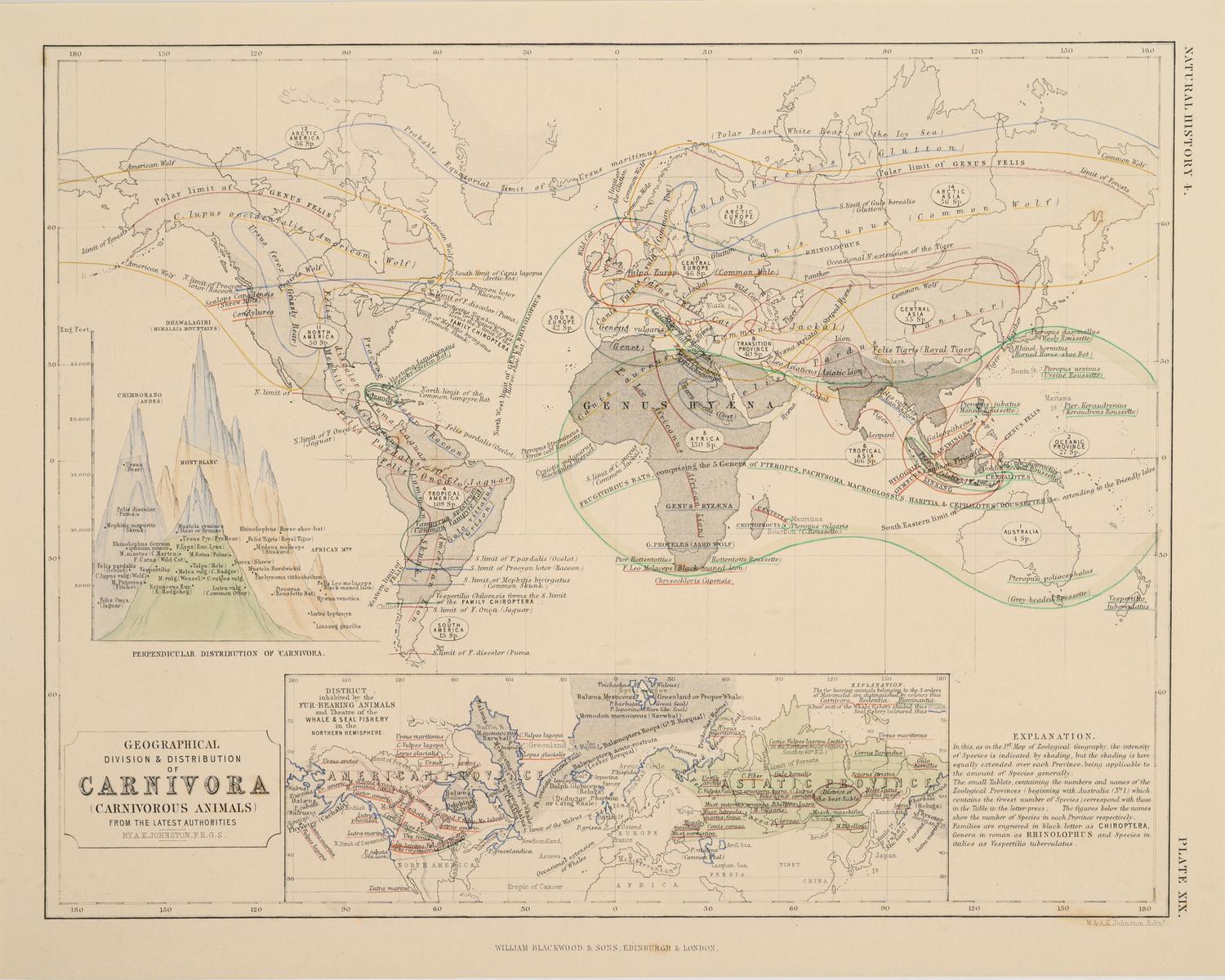
A Group of 11 19th and 20th century maps, comprising:
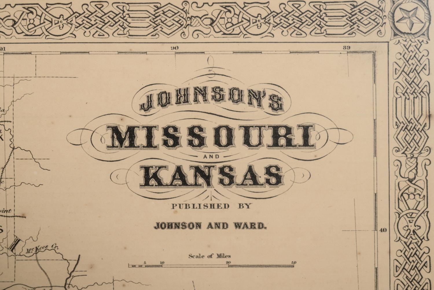
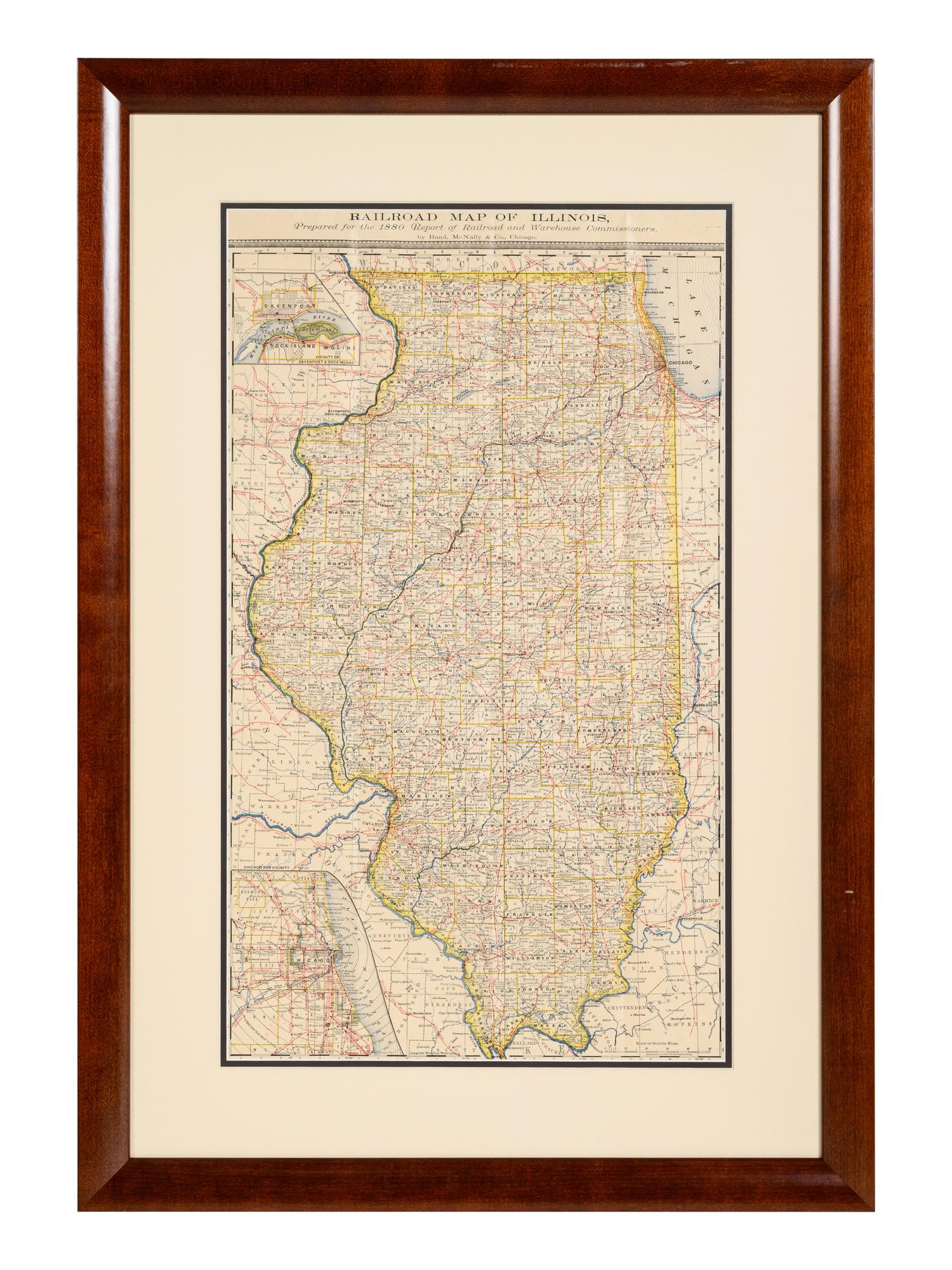
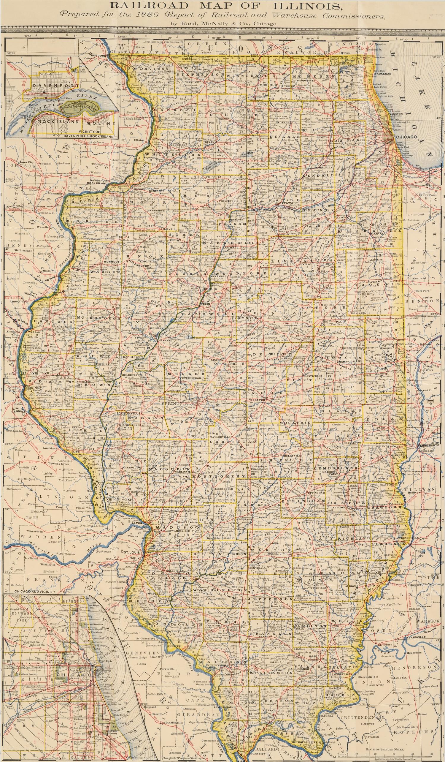
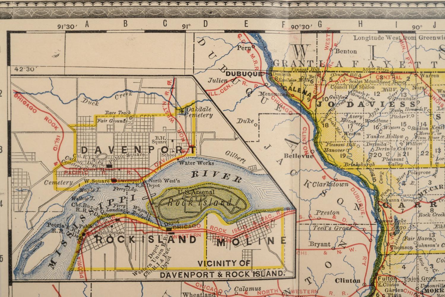
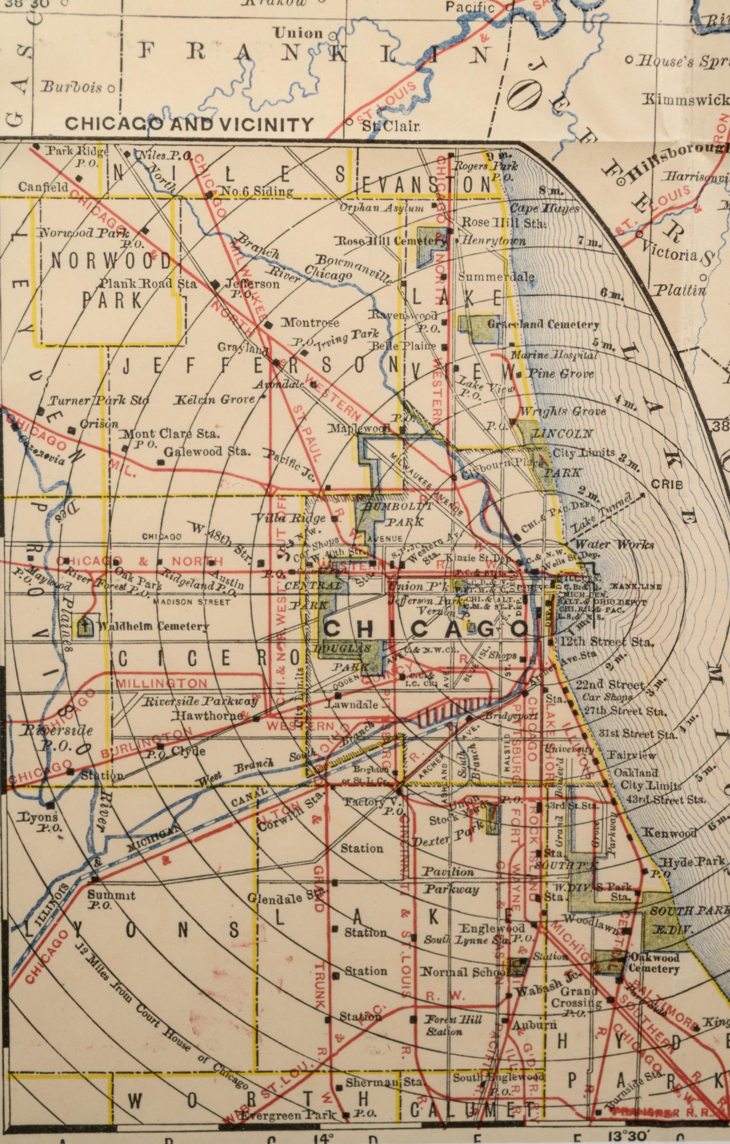
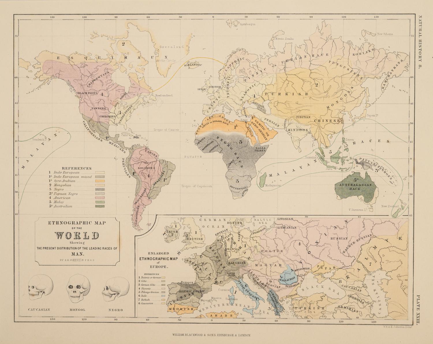
Ethnographic Map of the World. Edinburgh and London: William Blackwood & Sons, N.d.. Plate 23. 17 1/4 x 19 1/2 in. -- Geographical Division & Distribution of Carnivora. Edinburgh and London: William Blackwood & Sons, N.d. Plate 19. 17 1/4 x 19 1/2 in. -- Johnson’s Missouri and Kansas. New York: Johnson and Ward, N.d. 32 ¾ x 27 inches. -- Railroad Map of Illinois. Chicago: Rand McNally & Company, N.d.. 36 ½ x 25 inches. -- All matted and framed. All 31 x 47 in or smaller. Complete list available upon request.
Property from a Corporate Art Collection