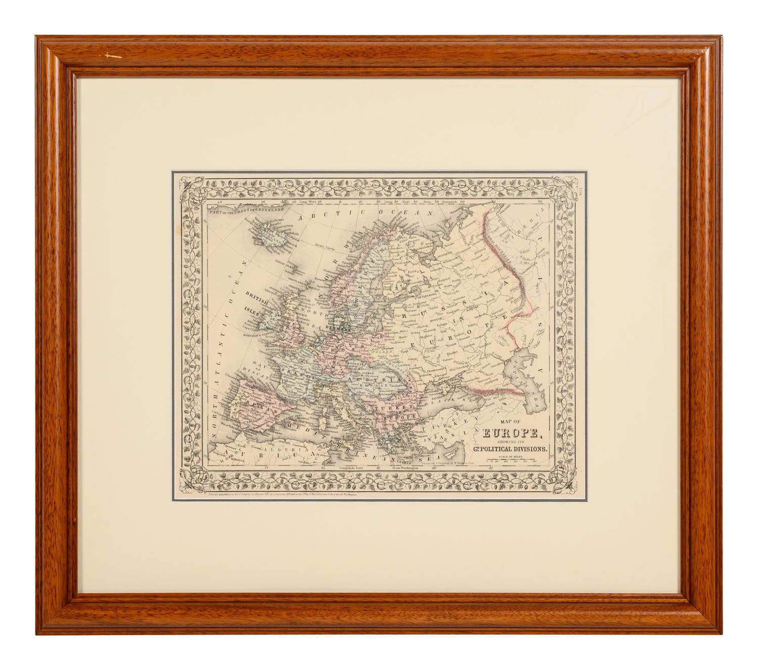
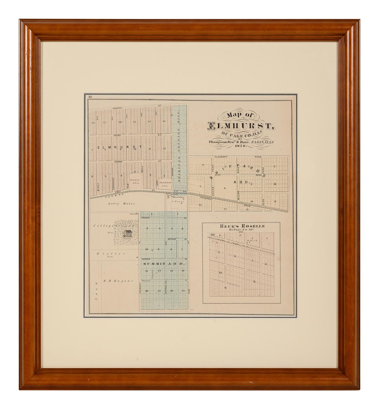
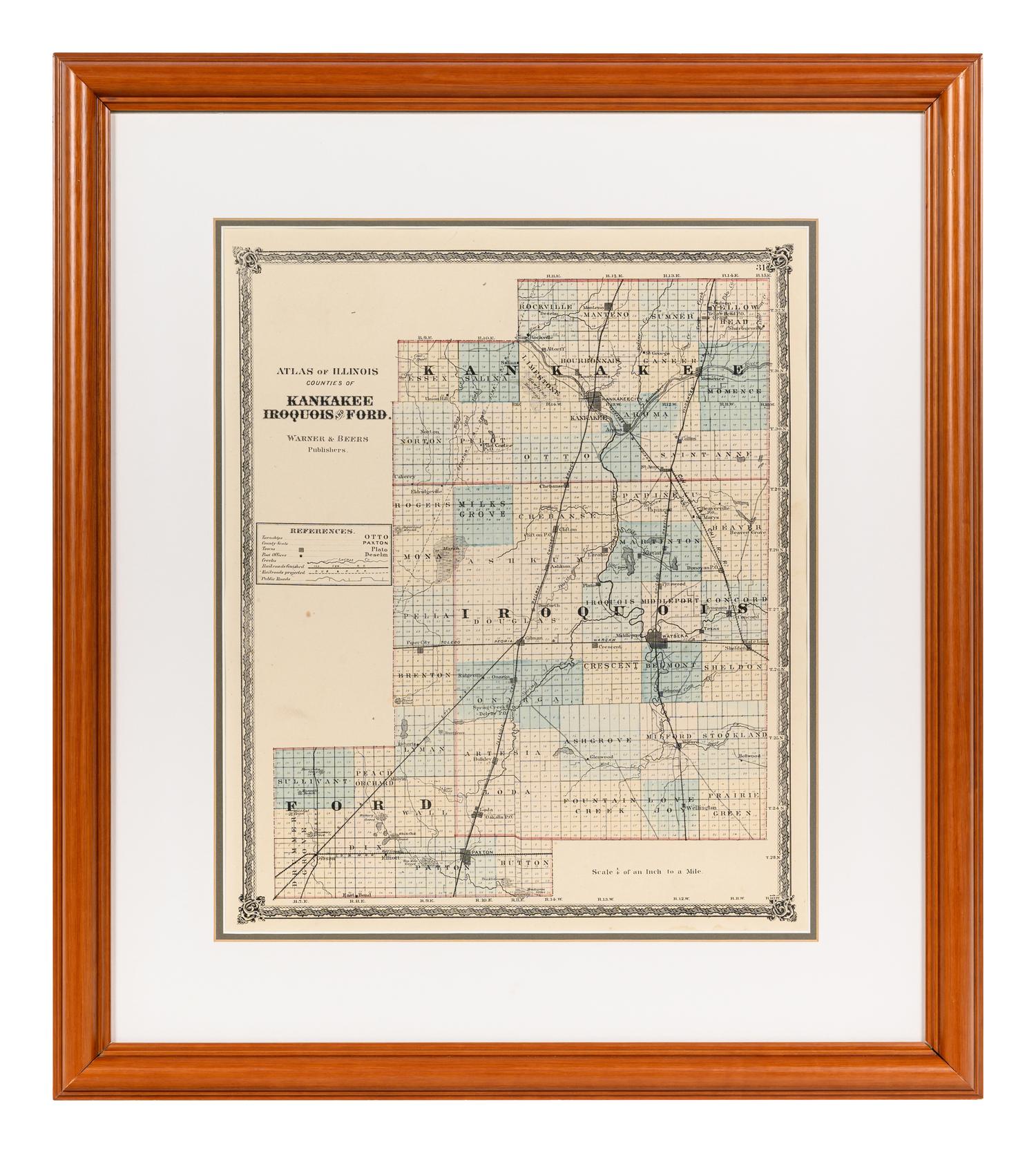
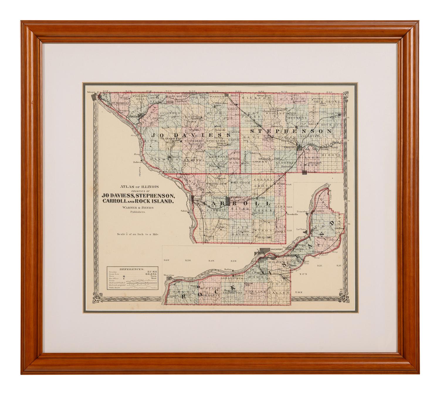
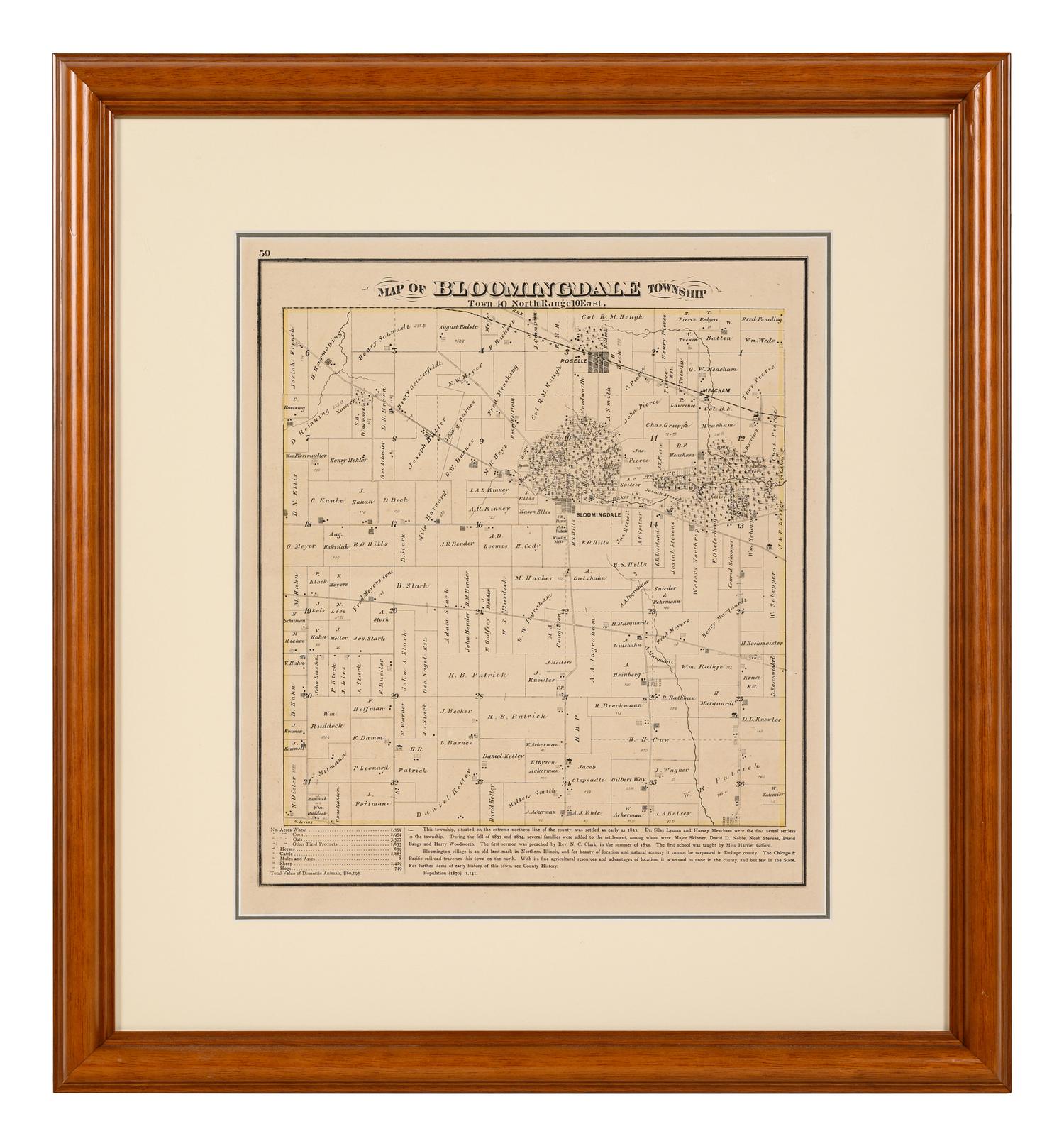
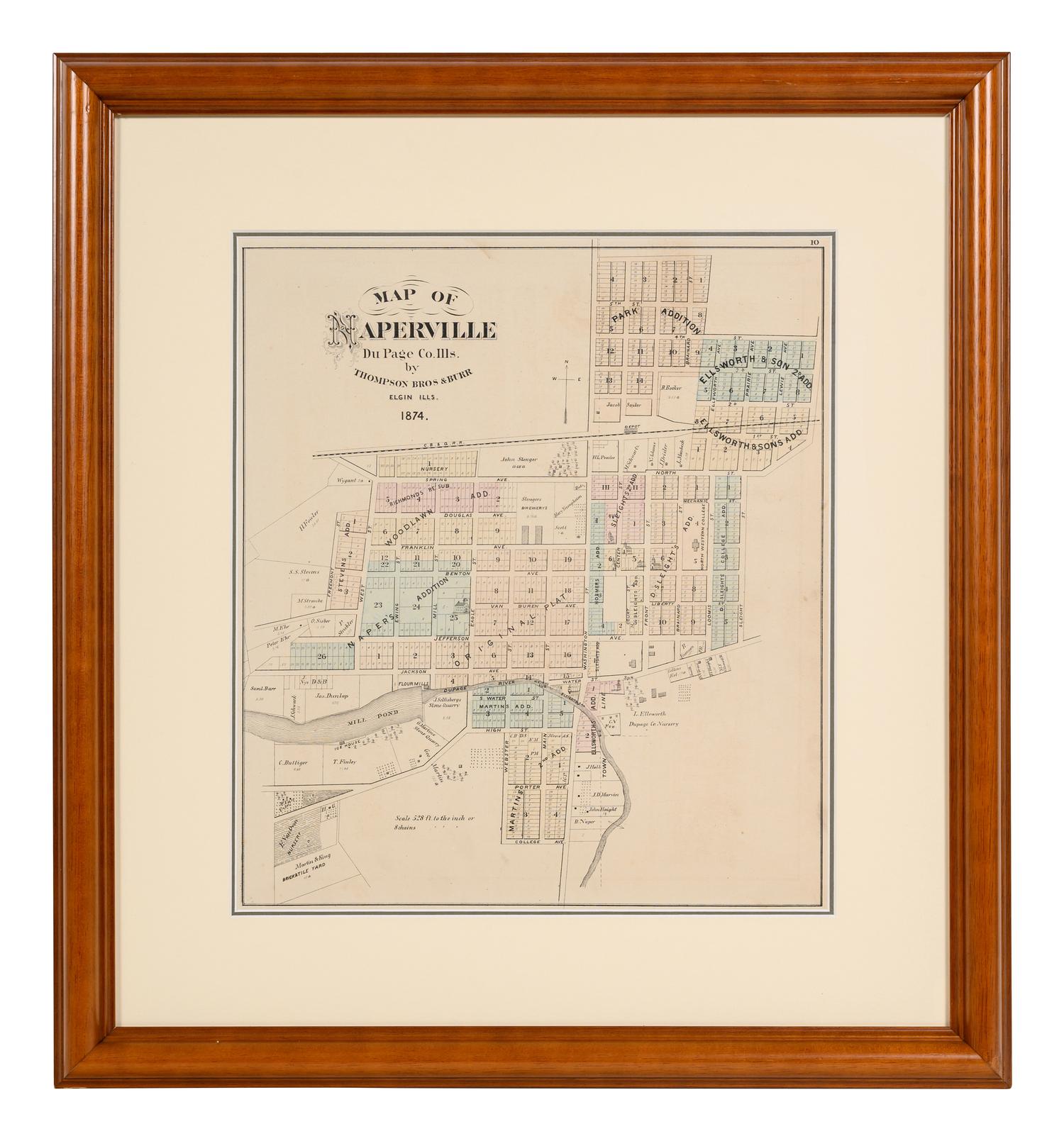
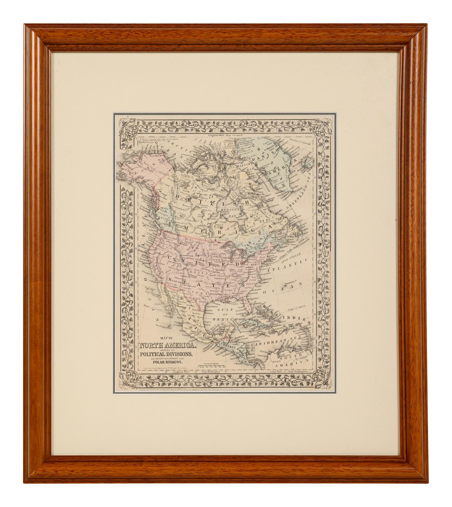
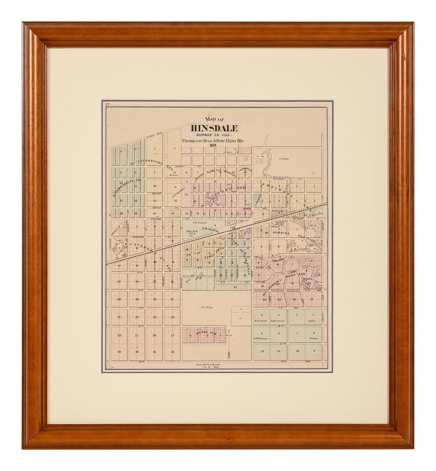
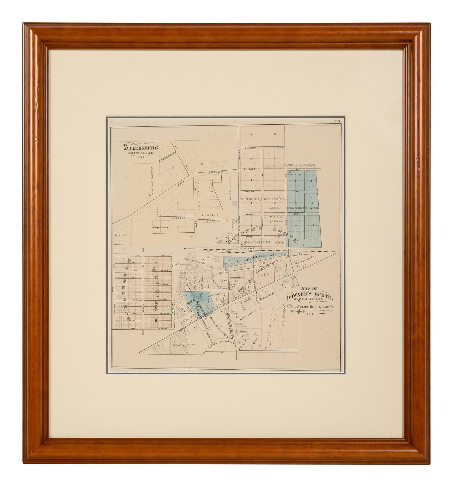
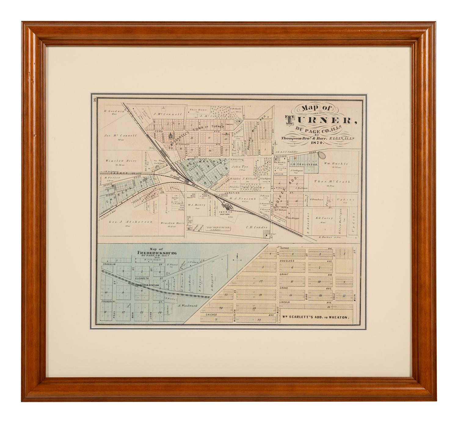
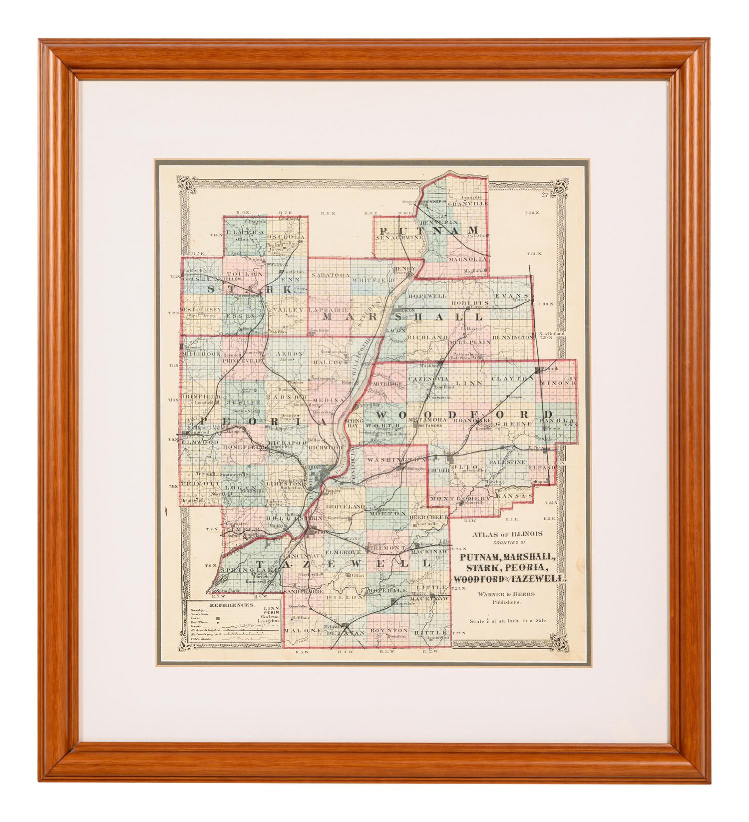
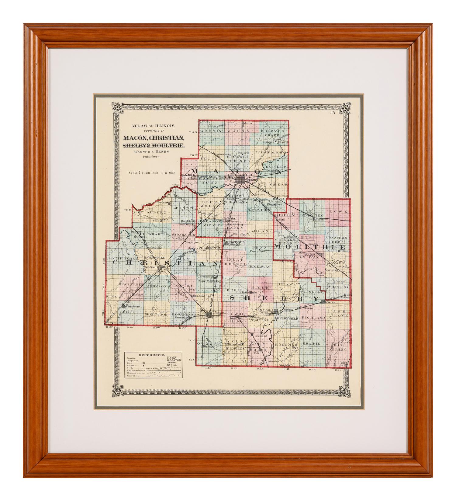
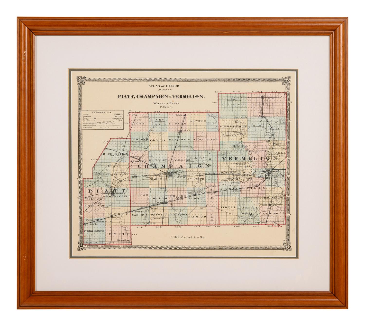
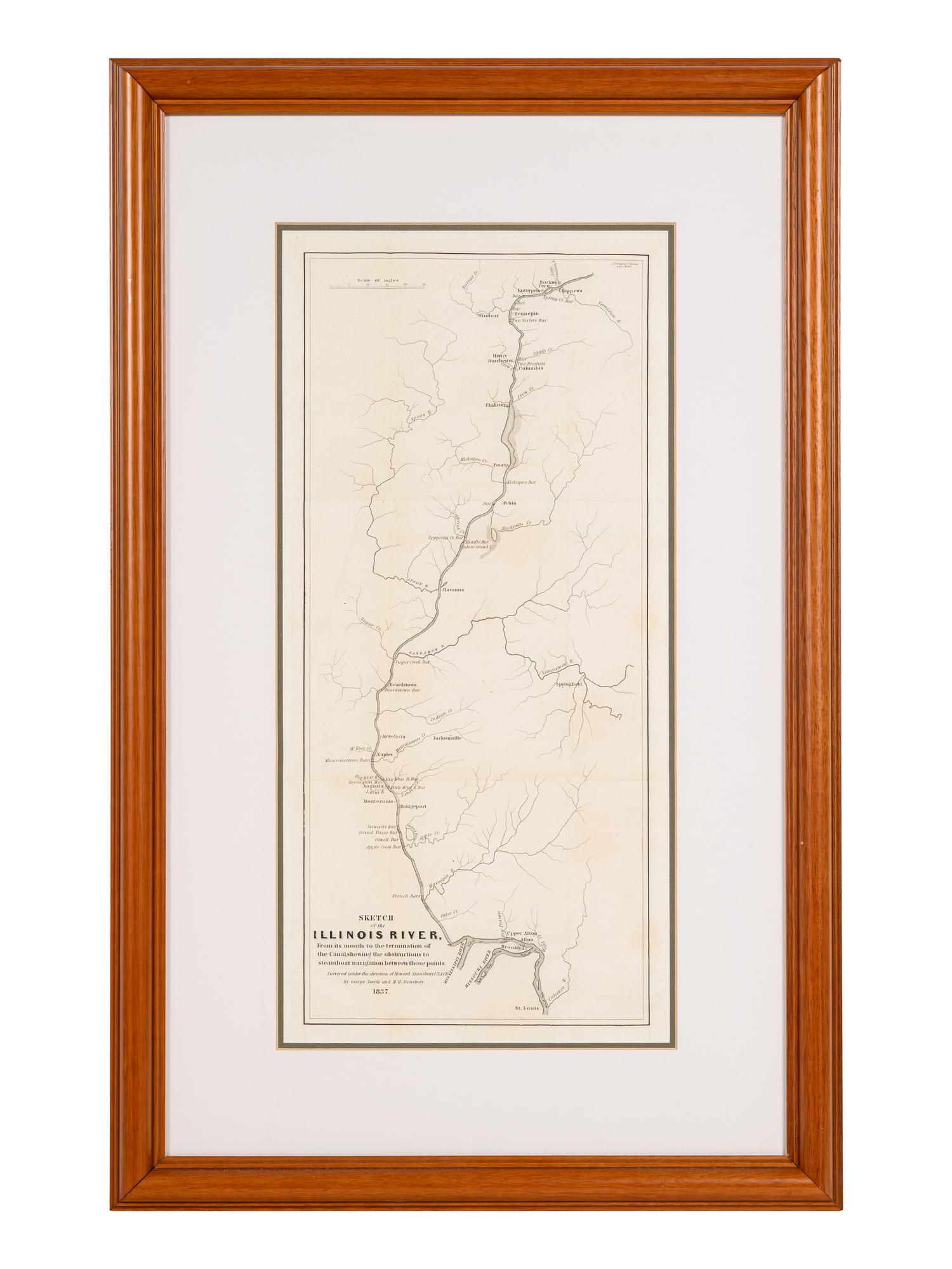
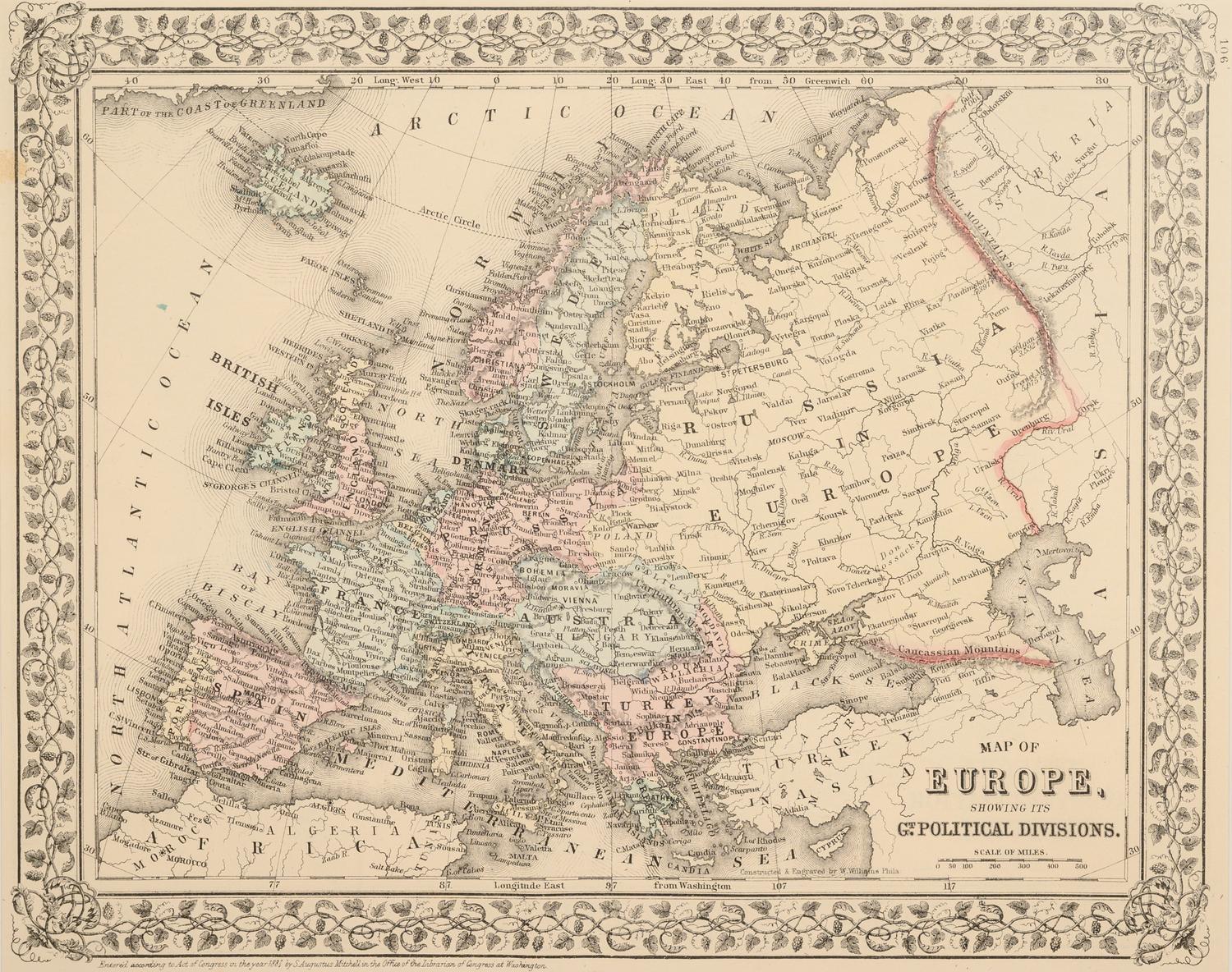
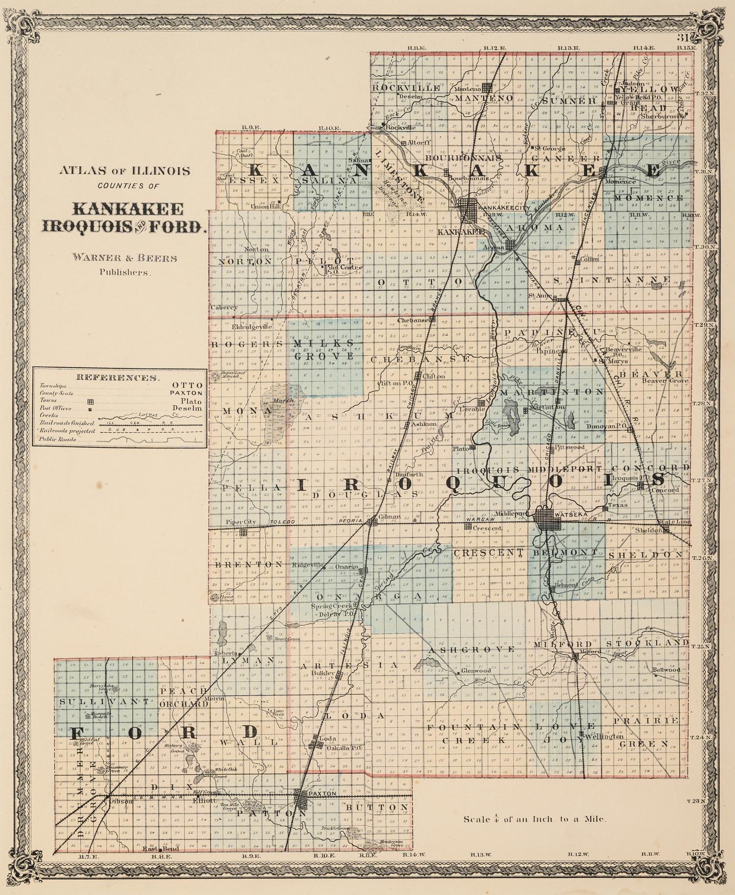
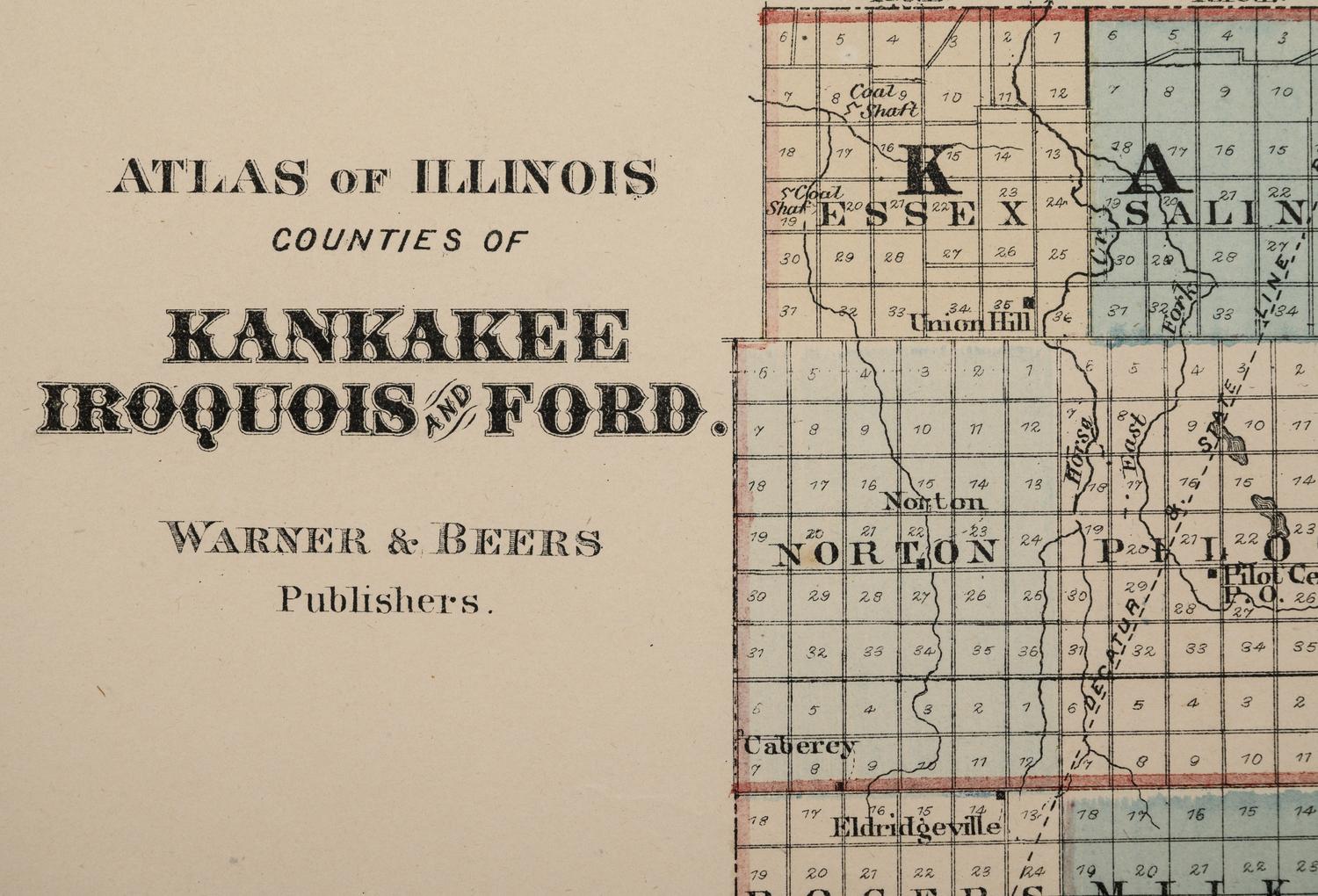
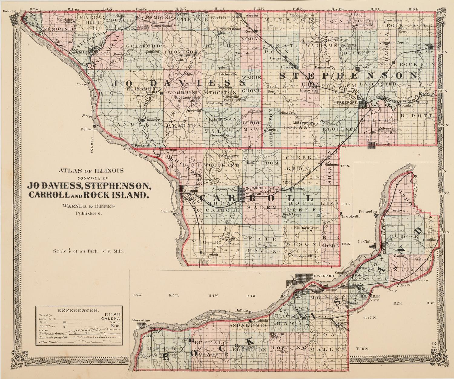
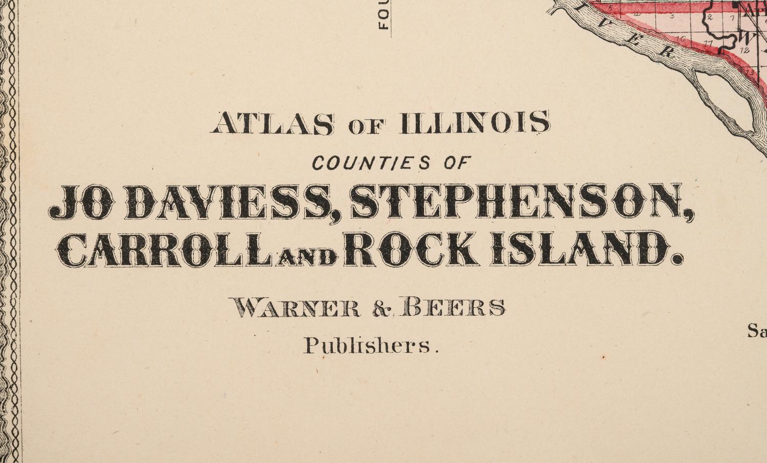
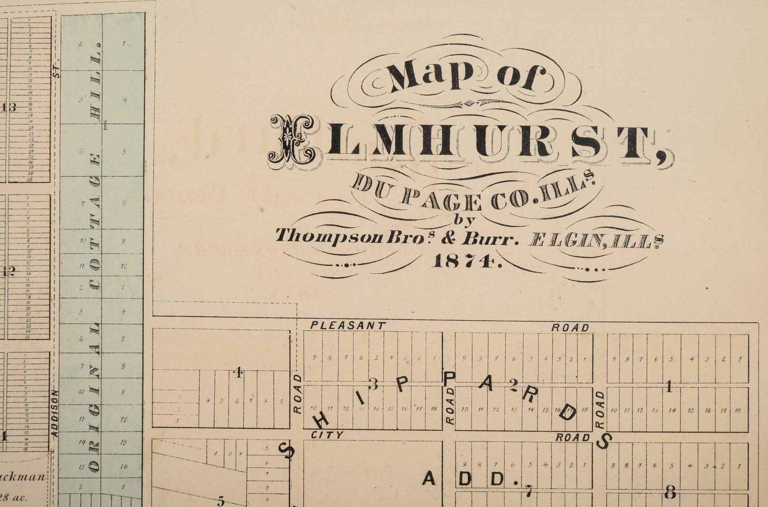
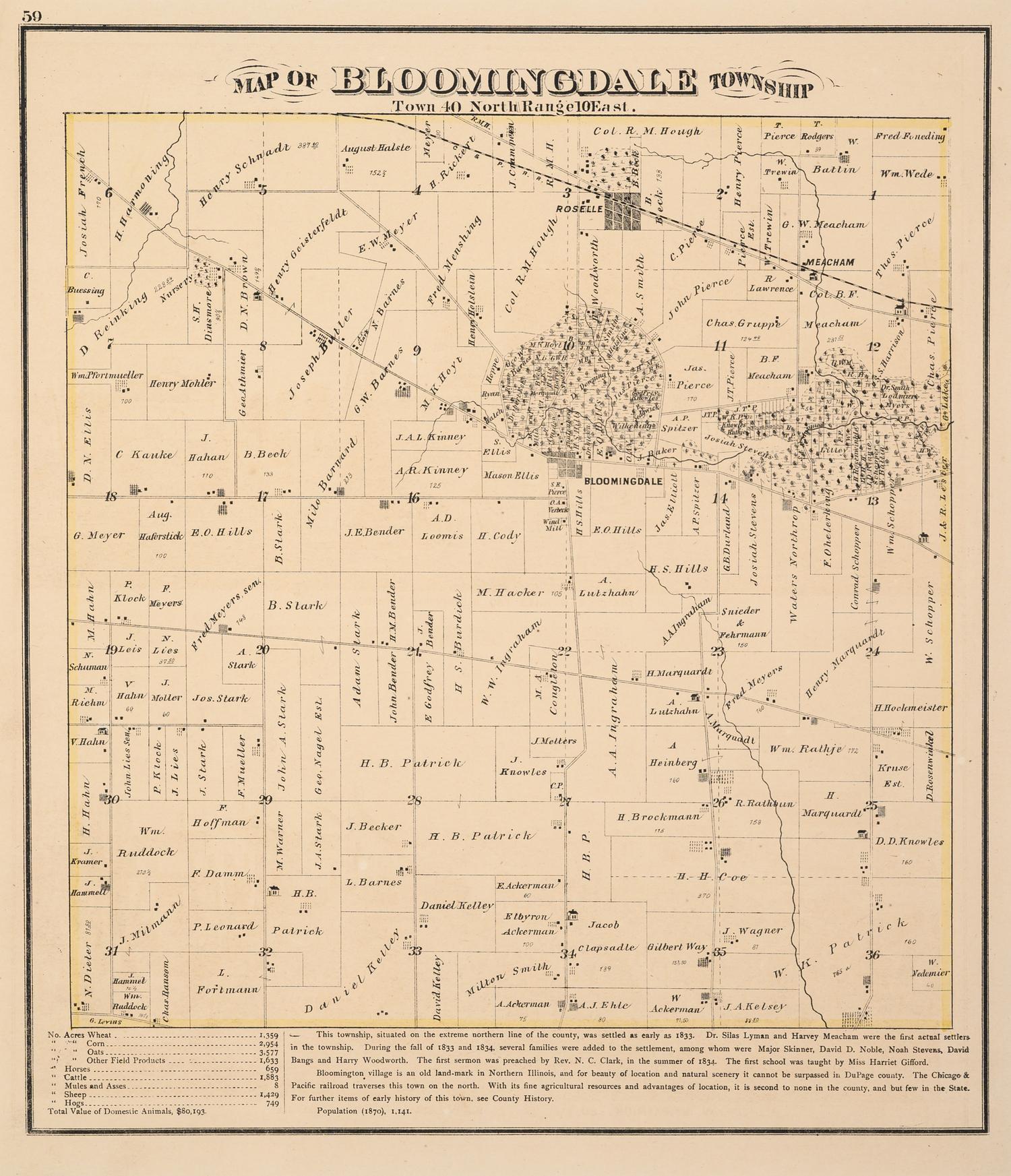
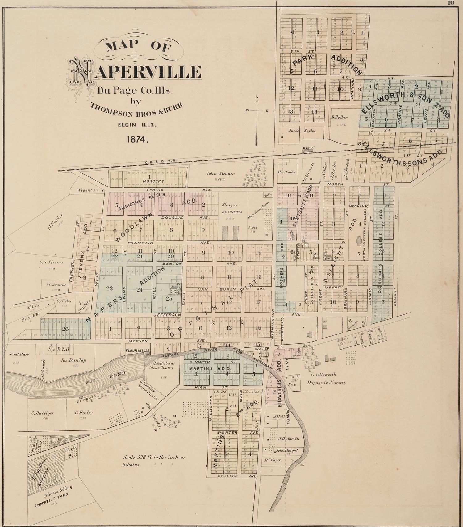
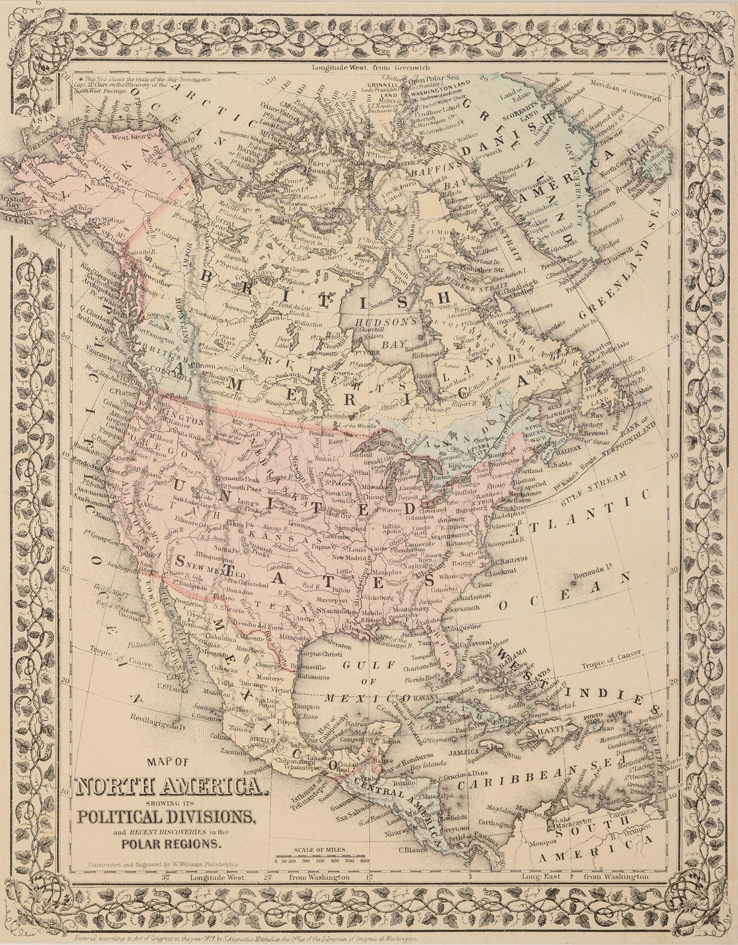
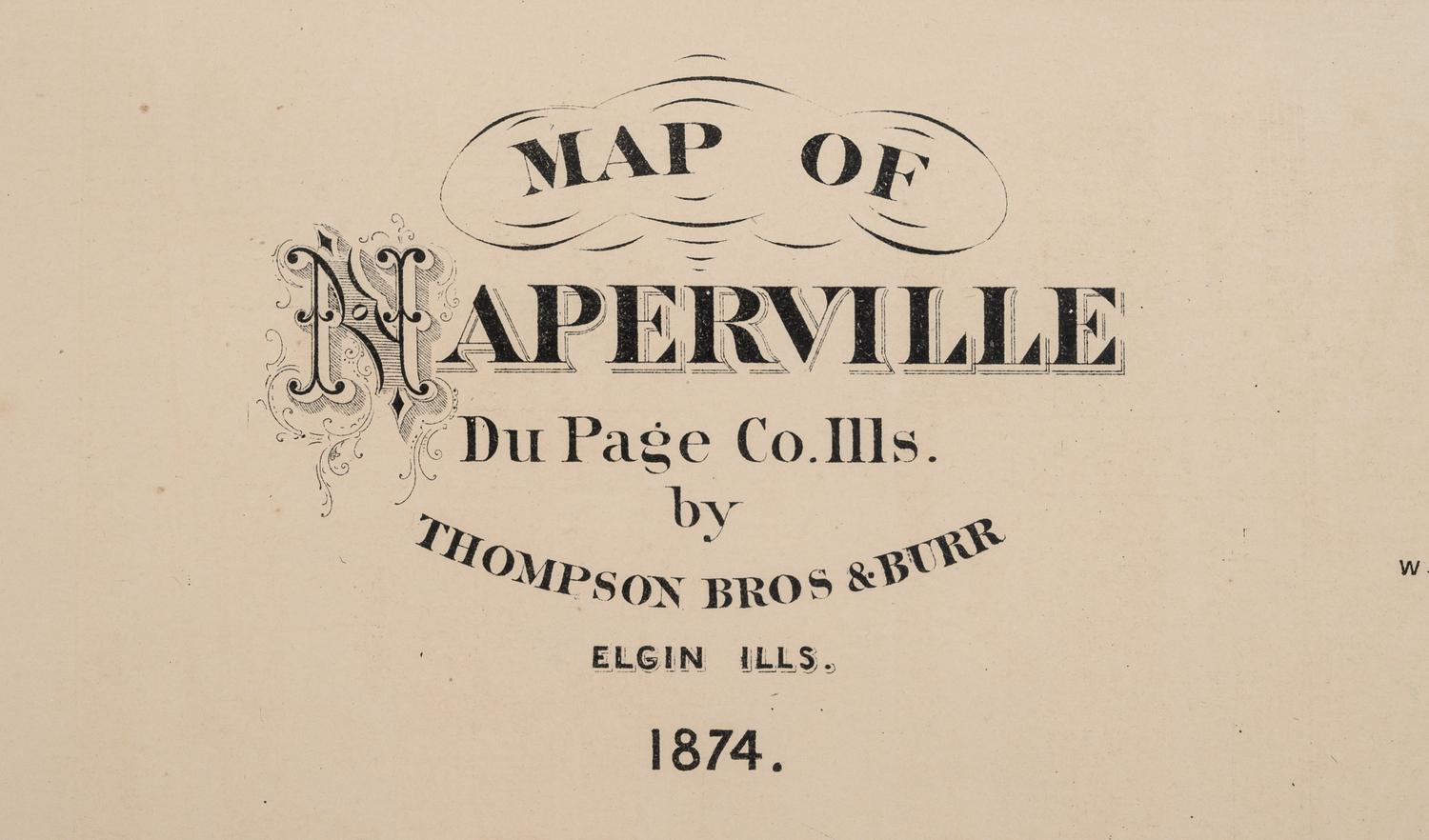
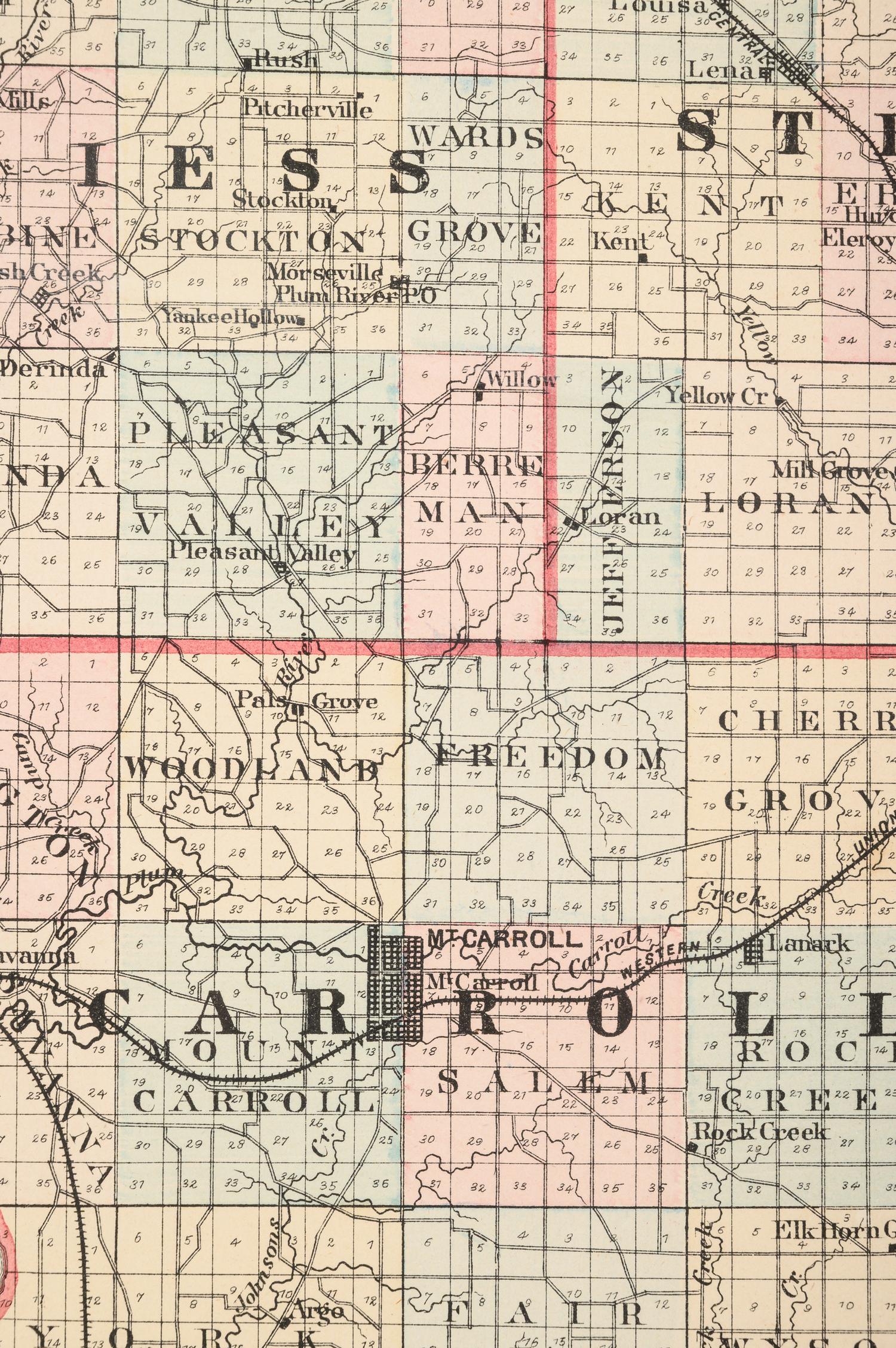
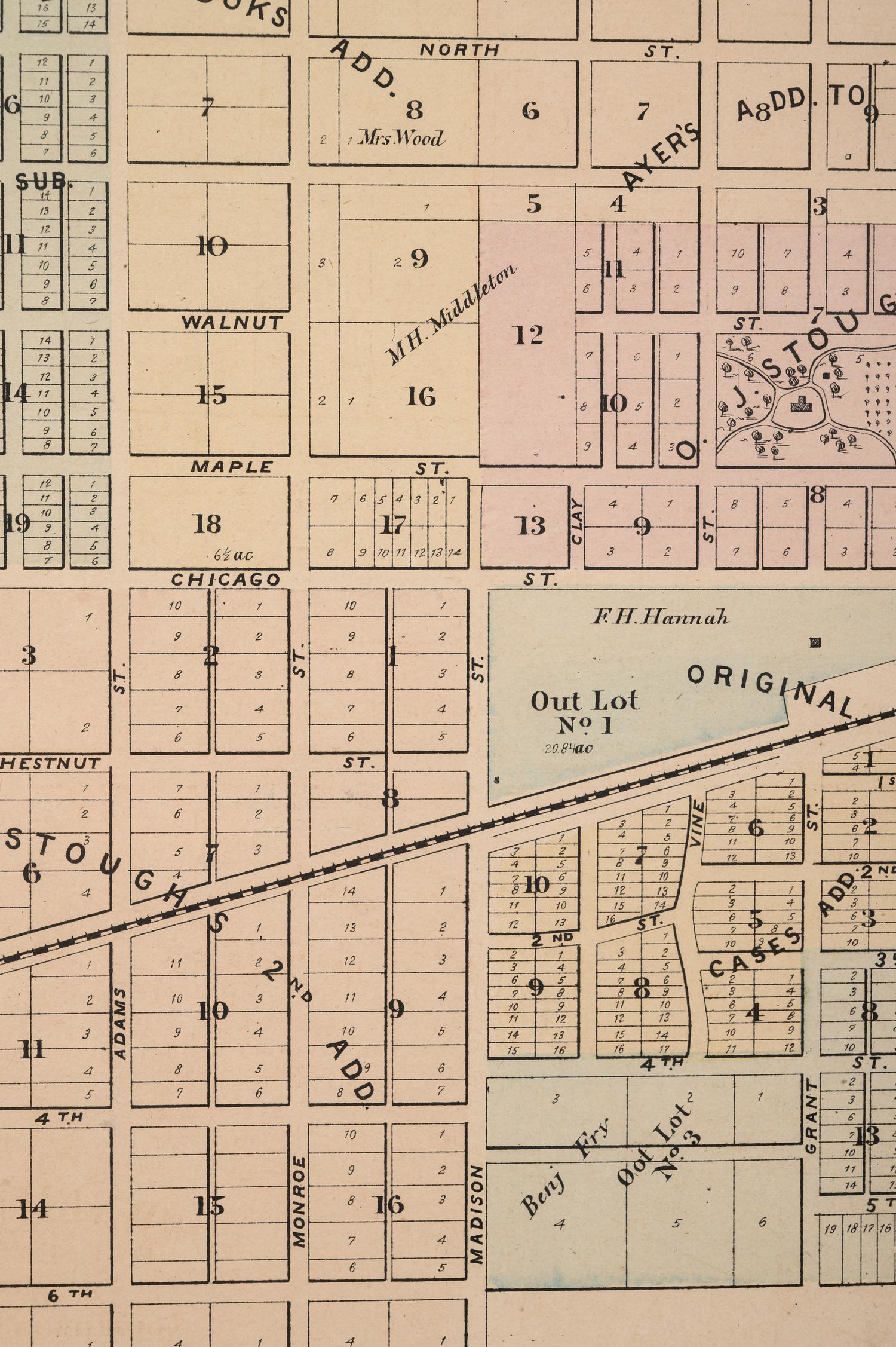
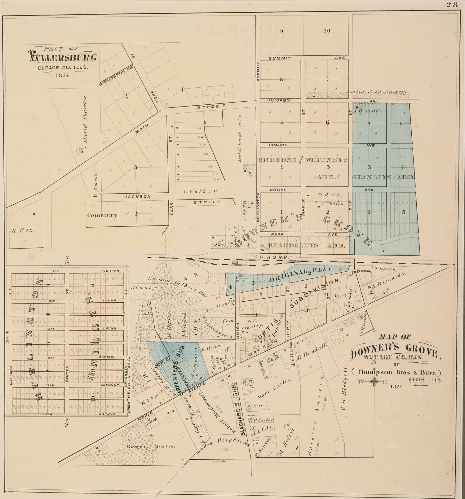
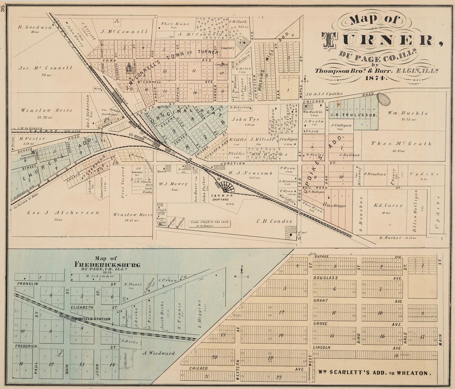
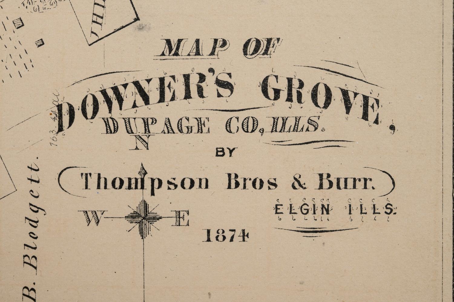
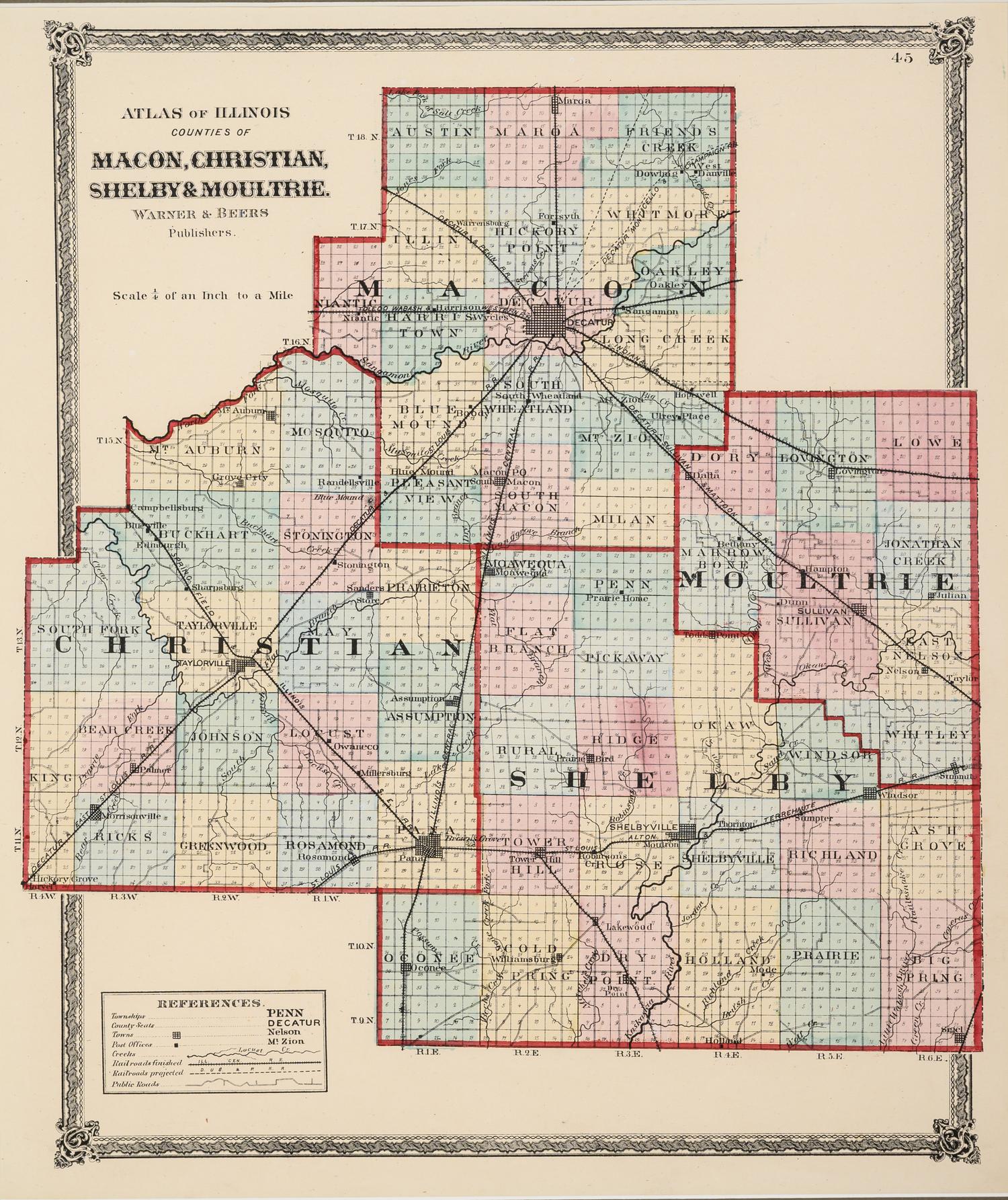
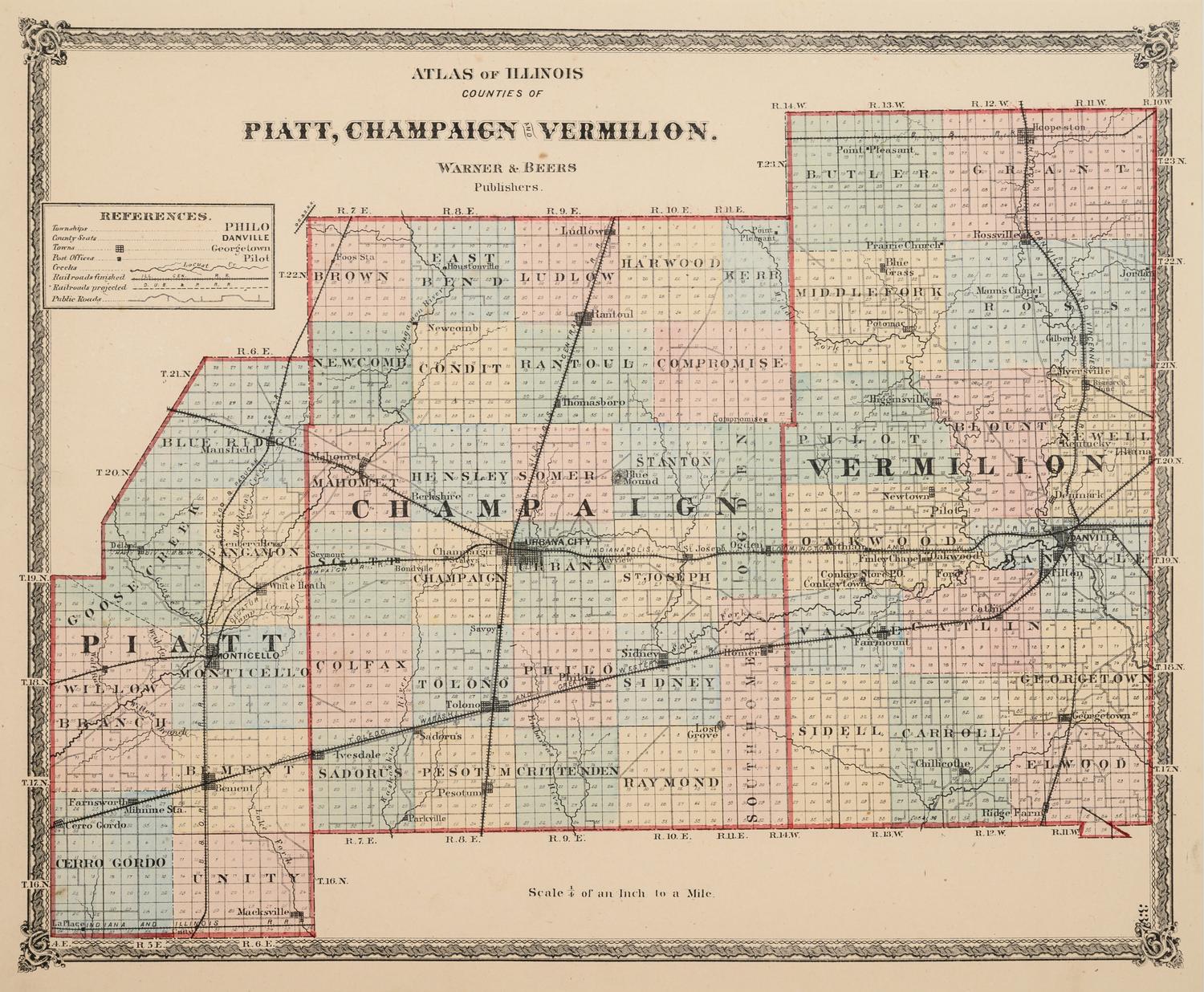
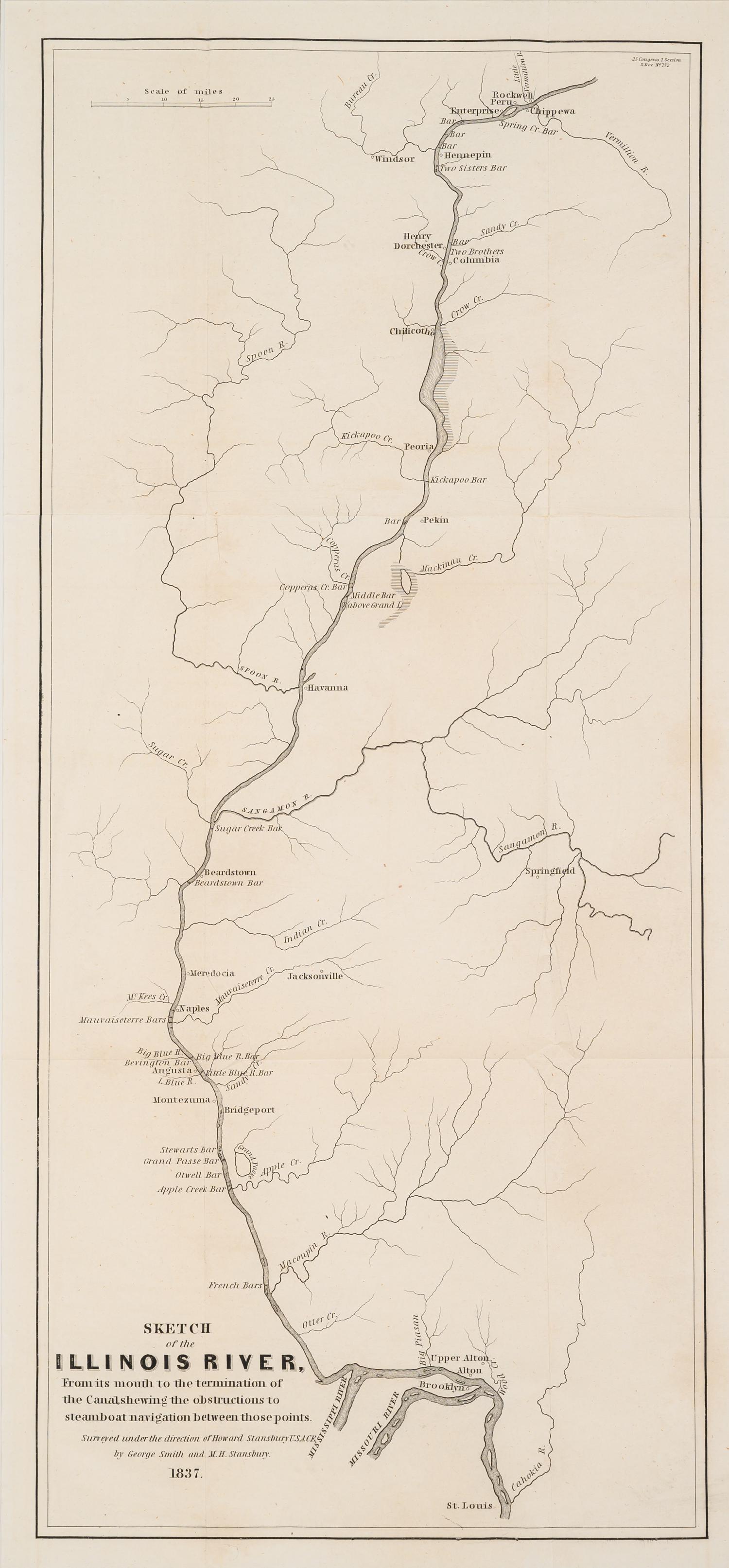
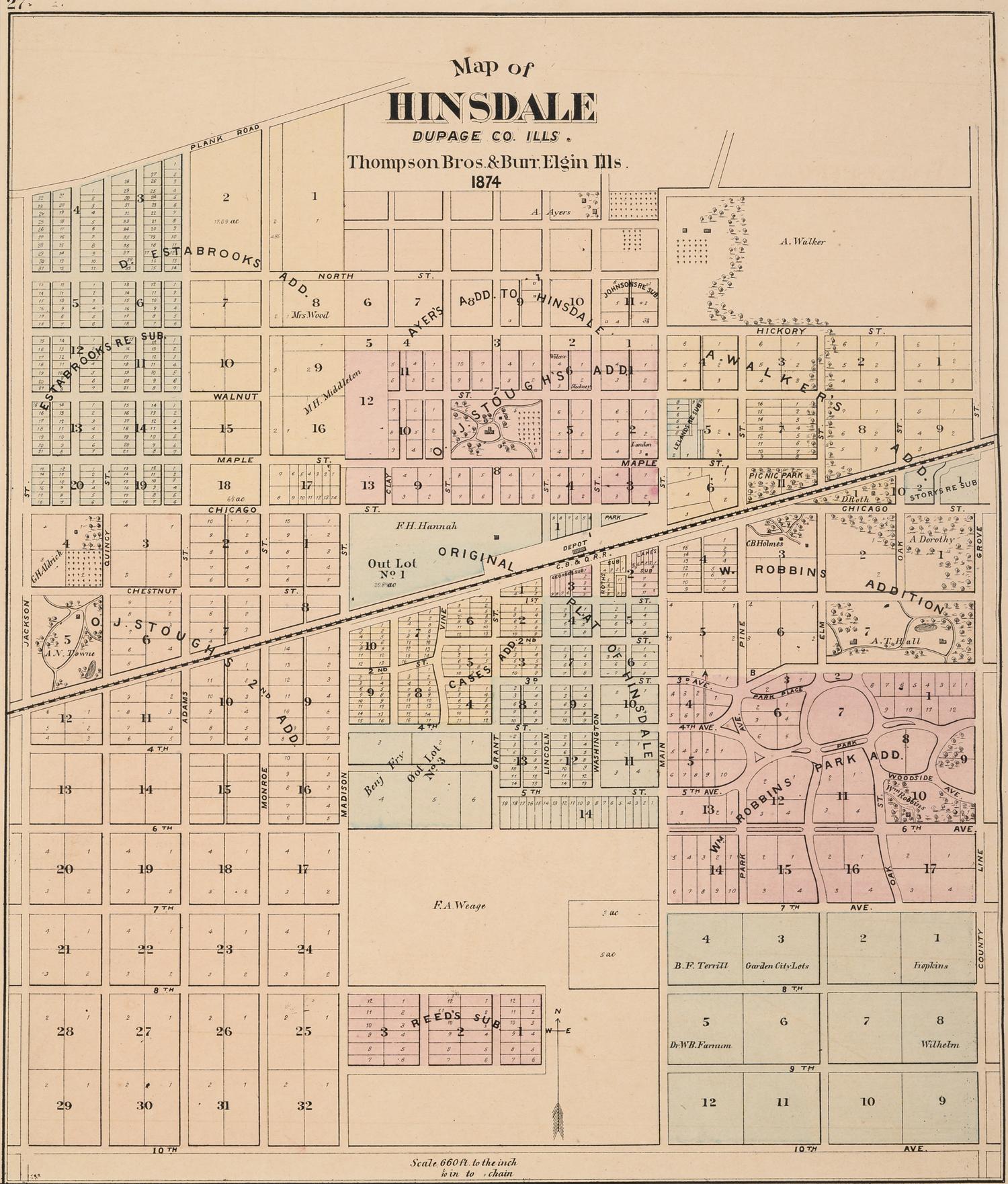
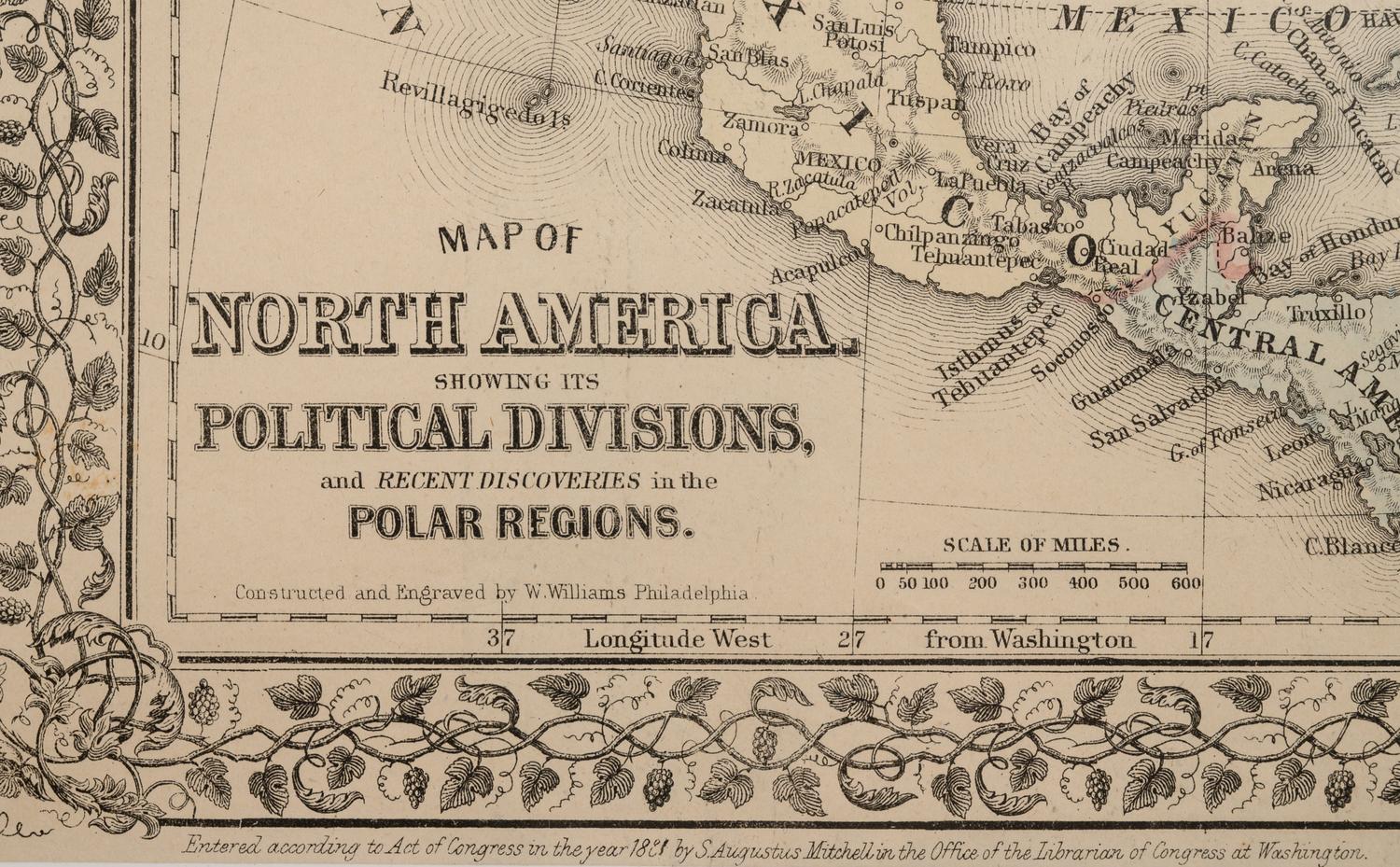
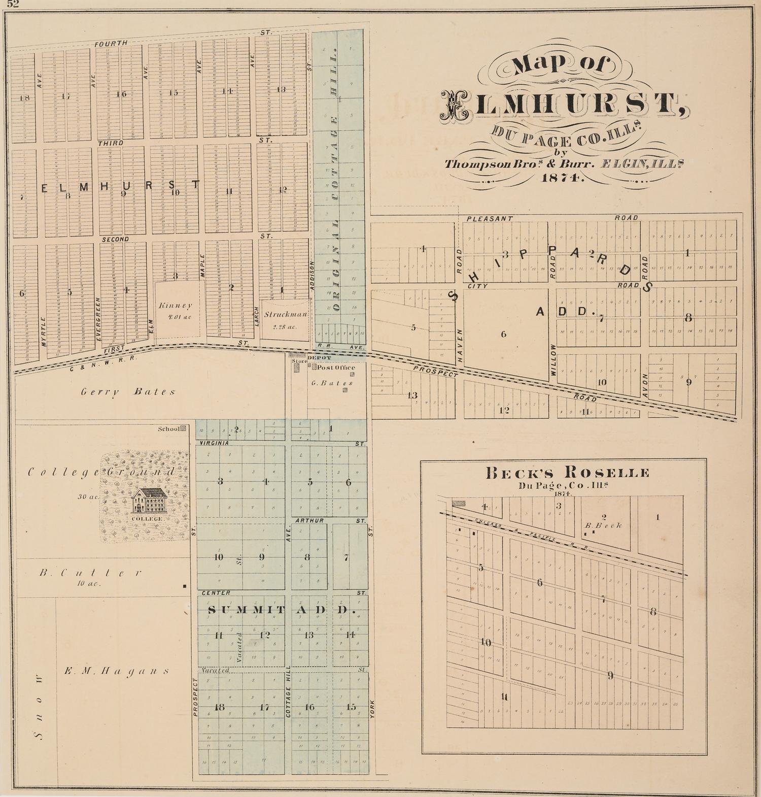
A group of 14 19th and 20th century maps, comprising:
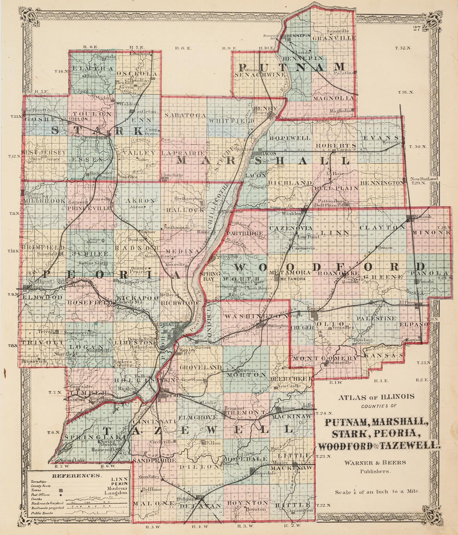
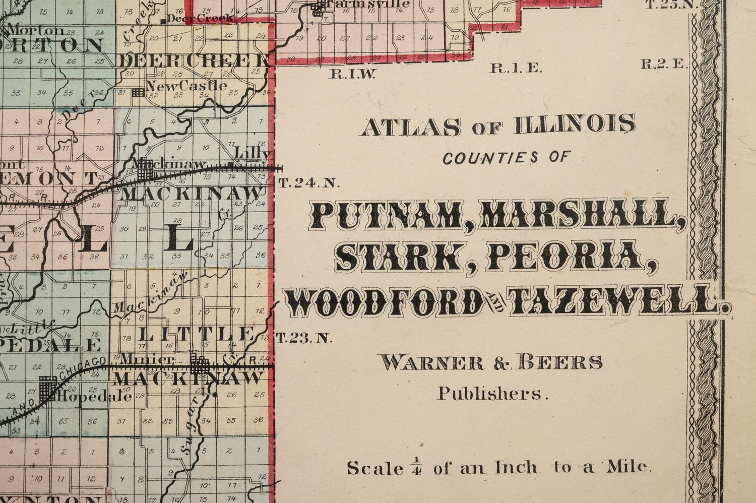
SMITH, George and M.H. STANSBURY. Sketch of the Illinois River. N.p. 1837. -- Atlas of Illinois Counties of Platt, Champaign and Vermillion. Chicago: Warner and Beers, N.D. Plate 33. -- Atlas of Illinois Counties of Macon, Christian, Shelby & Moultrie. Chicago: Warner and Beers, N.D. Plate 45. -- Atlas of Illinois Counties of Putnam, Marshall, Stark, Peoria, Woodford and Tazewell. Chicago: Warner and Beers, N.D. Plate 27. -- All matted and framed. None larger than 29 ½ x 19 ½ inches. Complete list available upon request.
Property from a Corporate Art Collection