


Condition Report
Contact Information
Lot 1097
Sale 961 - American Historical Ephemera & Photography
Nov 30, 2021
10:00AM ET
Online / Cincinnati
Own a similar item?
Estimate
$250 -
500
Price Realized
$344
Sold prices are inclusive of Buyer’s Premium
Lot Description
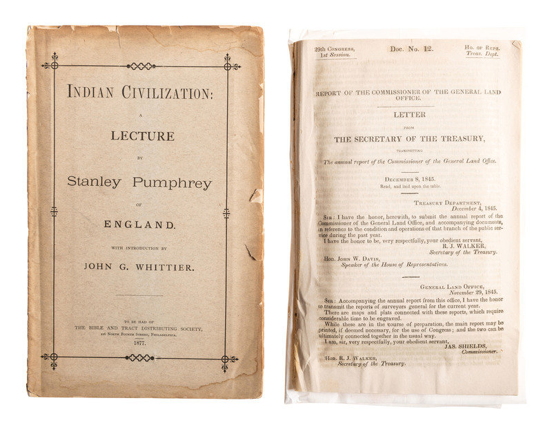
[NATIVE AMERICANS]. A group of 2 items involving Native American lands, including a map using data from the General Land Office, 1845.
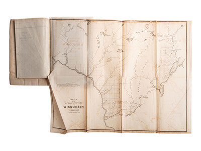
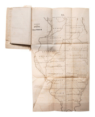
Shields, James. Report of the Commissioner of the General Land Office. Dec. 8, 1845. House of Reps. Document No. 12, 29th Congress, 1st Session. 8vo, disbound (no wraps), 114pp. Includes maps, most public surveys, (all uncolored) of: Indiana; Michigan; Iowa; Wisconsin; Missouri; Illinois; Arkansas; South Tennessee; Greensburg District, LA; Southeastern Louisiana; South Western District, LA; District North of the Red River; Alabama (showing Chickasaw, Cherokee, and Creek Cessions); and State of Florida.
Indian Civilization: A Lecture by Stanley Pumphrey of England. With Introduction by John G. Whittier. Philadelphia: The Bible and Tract Distributing Society, 1877. 8vo, printed wraps, 52pp. With folding map Indian Territory 1876, approx. 24 x 30 in., hand colored (colors fading). Map based on the first edition of a series of Land Office maps, now uncommonly encountered, showing the lands assigned to the various tribes along with information about the treaties which led to the formation of the reserve. Also includes early forts, roads, trails, etc. (wraps brown around edges, water stain lower edge, chipping where brown)