
Condition Report
Contact Information
Lot 1015
Sale 961 - American Historical Ephemera & Photography
Nov 30, 2021
10:00AM ET
Online / Cincinnati
Own a similar item?
Estimate
$150 -
300
Price Realized
$219
Sold prices are inclusive of Buyer’s Premium
Lot Description
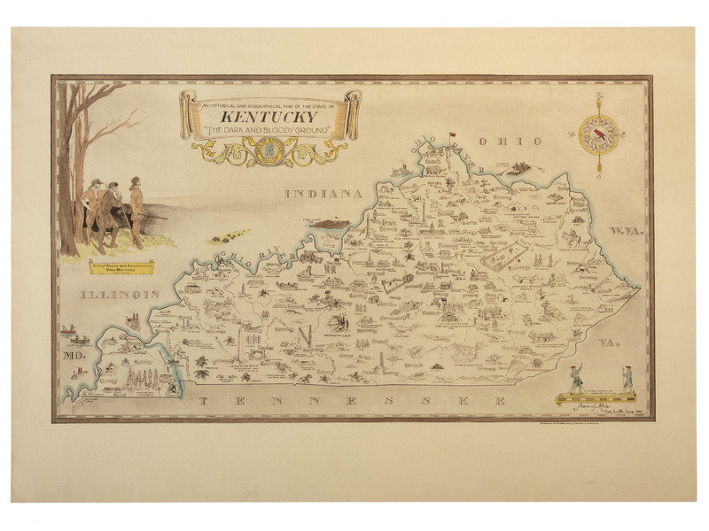
[KENTUCKY - MAPS]. SMITH, Karl. An Historical and Geographical Map of the State of Kentucky "The Dark and Bloody Ground."
Chromolithograph, 1933, image 22 1/8 x 12 3/4 in. (25 x 17 3/8 in. sheet), on wove paper. Vignettes of "Daniel Boone and Companions View Kentucky" and "George Washington Surveying Kentucky." The state is dotted with small illustrations showing cities, towns, forts, sites of battlegrounds, natural attractions, coal and minerals, and agricultural output. RARE: OCLC locates only 3 copies.
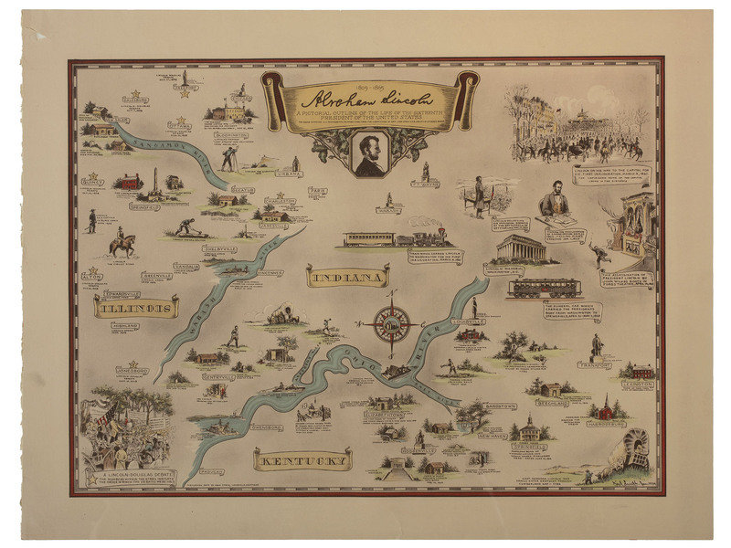
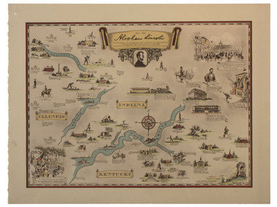
[With:] SMITH, Karl. Abraham Lincoln: A Pictorial Outline of the Life of the Sixteenth President of the United States. Chromolithograph, 1934, image 21 5/8 x 15 7/8 in. (25 x 19 1/8 in. sheet), on wove paper, small chip to margin. Vignettes from Lincoln's life geographically displayed, from his birth in Kentucky, his boyhood in Indiana, his adulthood in Illinois, and his presidency and assassination in Washington D.C.