
Condition Report
Contact Information
Lot 306
Sale 945 - Fine Printed Books & Manuscripts, Including Americana
Lots 1-307
Nov 9, 2021
4:00AM CT
Lots 308-687
Nov 10, 2021
4:00AM CT
Live / Chicago
Own a similar item?
Estimate
$1,500 -
2,500
Price Realized
$1,625
Sold prices are inclusive of Buyer’s Premium
Lot Description
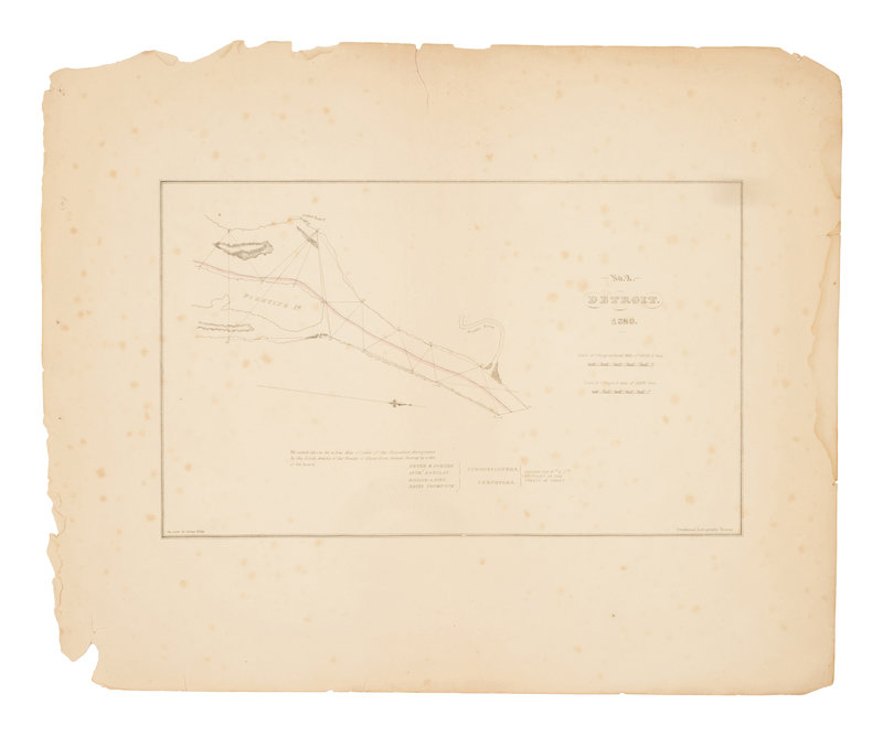
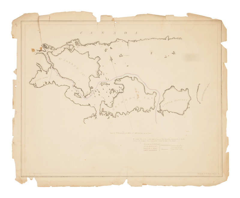
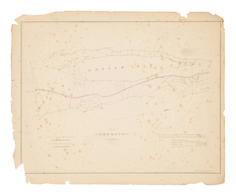
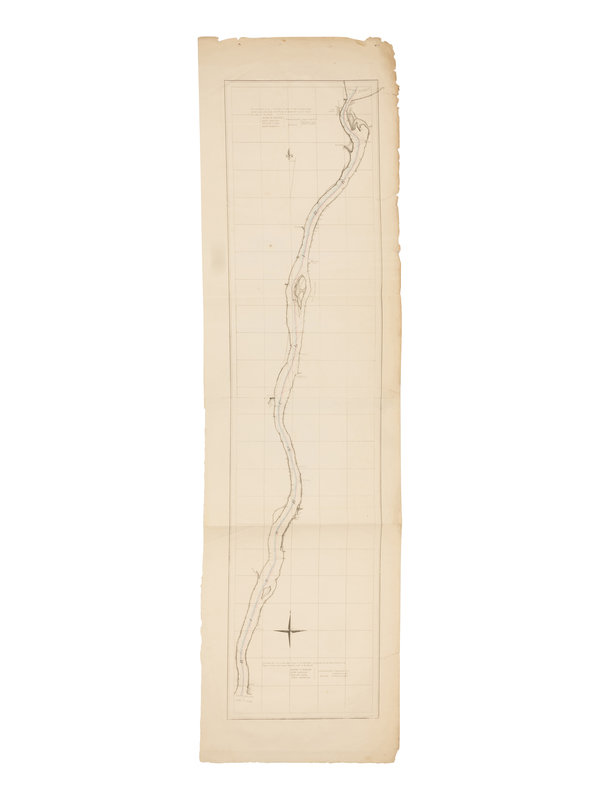
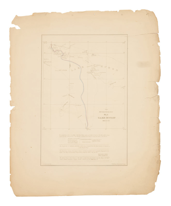
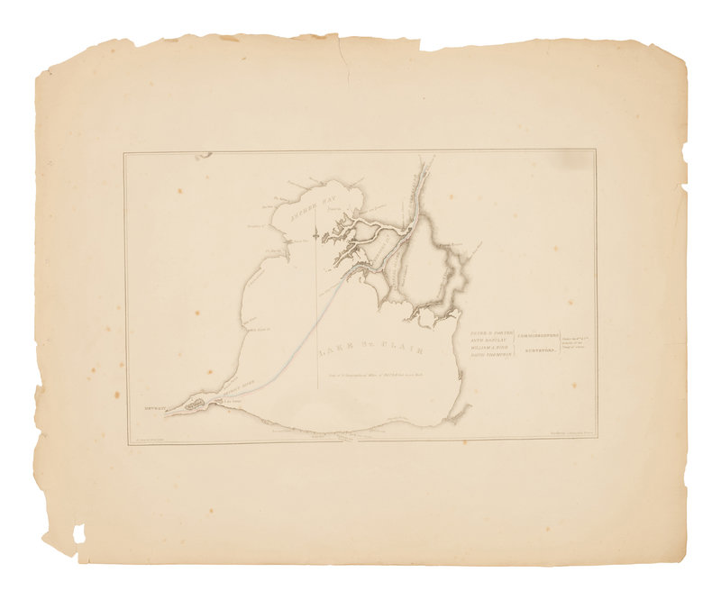
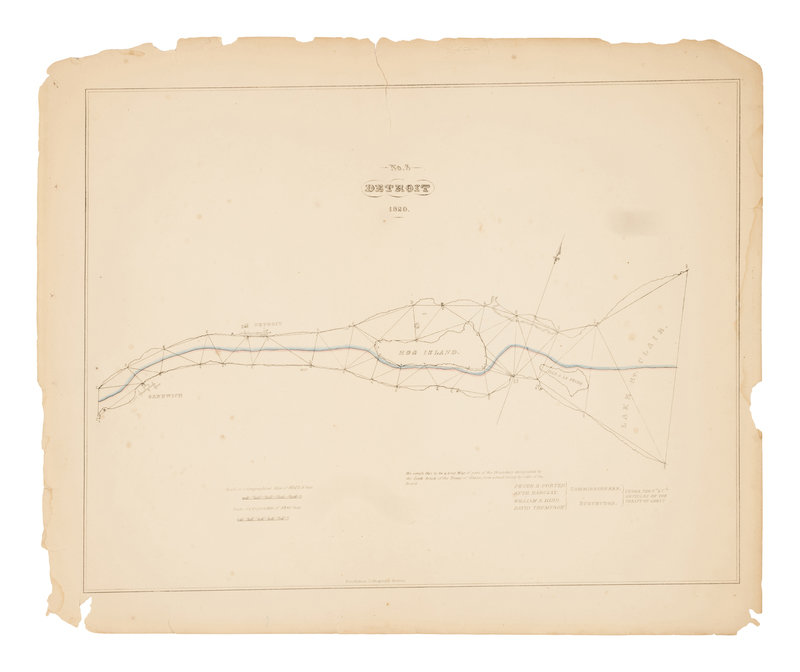
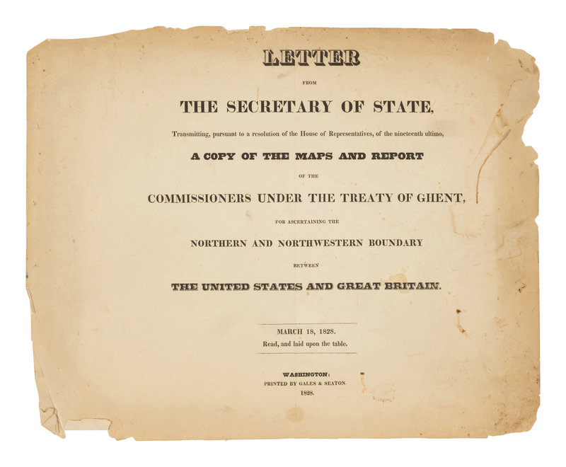
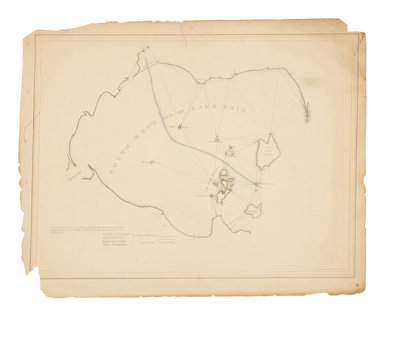
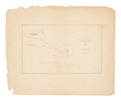
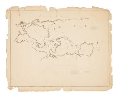
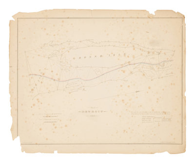
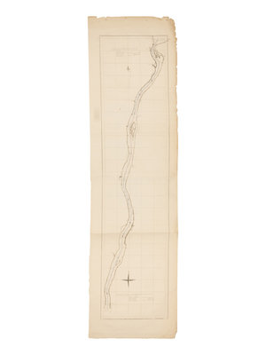
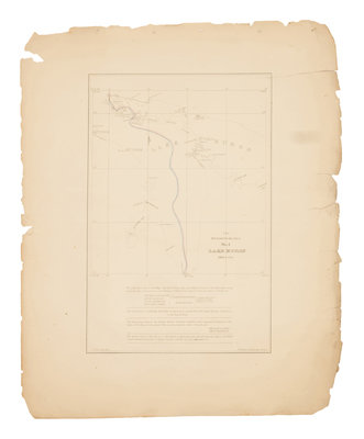
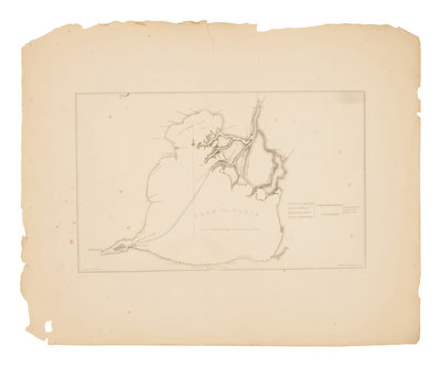
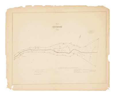
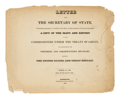
[U.S. DEPT. OF STATE] – Letter from the Secretary of State, Transmitting, pursuant to a resolution of the House of Representatives, of the nineteenth ultimo, a Copy of the Maps and Report of the Commissioners under the Treaty of Ghent, for Ascertaining the Northern and Northwestern Boundary between the United States and Great Britain. Washington, D.C.: Gales & Seaton, 18 March 1828.
Oblong folio (409 x 508 mm). Letterpress title-page, one leaf of commissioner’s text, 8 lithographed maps with partial hand-coloring (one folding). (Chipping, staining and creasing with a few tears.) Disbound (stabholes in left margins).
Rare set of maps denoting the boundaries between the United States and Great Britain in the Great Lakes region after the War of 1812 according to the 6th and 7th articles of the Treaty of Ghent. Each map is “shaded on the British side with red, and on the American side with blue” with information about the commissioners and surveyors (Decision of the Commissioners). "Neither the series nor individual maps is recorded in Phillips or Karpinski. The only copy located by the Union Catalog is in the U. S. State Department Library. This folio edition is not to be confused with the octavo edition that consists only of text" (Streeter sale 1080).
Property from the Collection of Mr. David L. Good