
Condition Report
Contact Information
Lot 306
Sale 759 - Selections from the Library of Gerald and Barbara Weiner
Oct 8, 2020
10:00AM CT
Live / Chicago
Own a similar item?
Estimate
$400 -
600
Price Realized
$469
Sold prices are inclusive of Buyer’s Premium
Lot Description
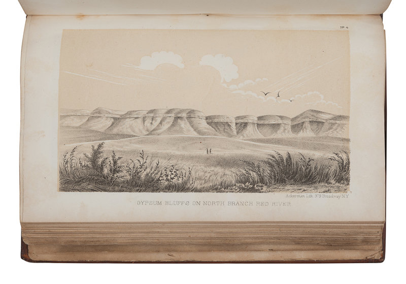
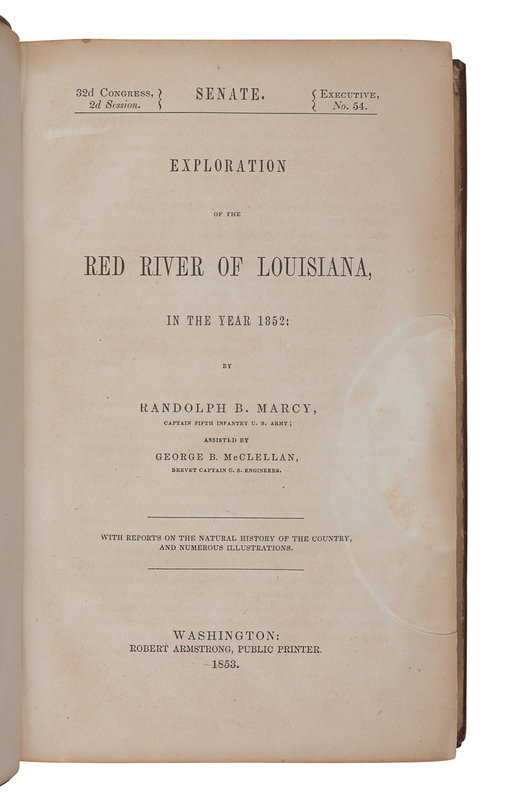
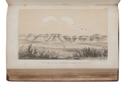
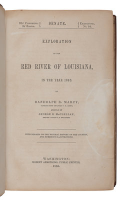
MARCY, Randolph Barnes (1812-1887). Exploration of the Red River of Louisiana, in the year 1852: By Randolph B. Marcy, ... assisted by George B. McClellan. Washington, D. C.: Robert Armstrong, 1853.
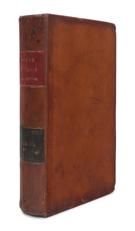
8vo. 65 plates comprising: 12 lithographed views, 10 engraved geological plates (one hand-colored and folding, numbered 1-11, without plate No. 2 as issued), 6 lithographed paleontology plates, 18 lithographed zoology plates, and 19 botanical plates (numbered I-XX, without plate XVIII as issued); 2 folding maps (the larger map with short tear to fold repaired verso). Contemporary calf, red and black morocco lettering-pieces gilt (repairs to hinges and spine, some light wear).
FIRST EDITION, Senate issue, of "Marcy's report [which] abounds in topographical and geographical detail" (Wagner-Camp). The larger of the two maps, Map of the Country Between the Frontiers of Arkansas and New Mexico, shows Marcy’s route from Fort Smith to Santa Fe in 1849, and "was an attempt not only to bring together information obtained from his own explorations, but to show the relation of that country to the areas lying to the north and south and to the west as far as the Colorado River...one of the best maps of the period." (Wheat). The second smaller map shows the territory of the upper Red River explored in 1852. Howes M-276; Sabin 44512; Wagner-Camp 226:3; Wheat Transmississippi 791.