Condition Report
Contact Information
Lot 382
Sale 697 - Fine Books and Manuscripts including Americana
Nov 6, 2019
10:00AM CT
Live / Chicago
Own a similar item?
Estimate
$250 -
350
Price Realized
$163
Sold prices are inclusive of Buyer’s Premium
Lot Description
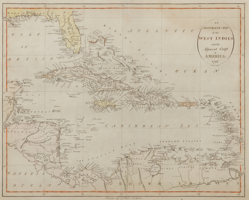
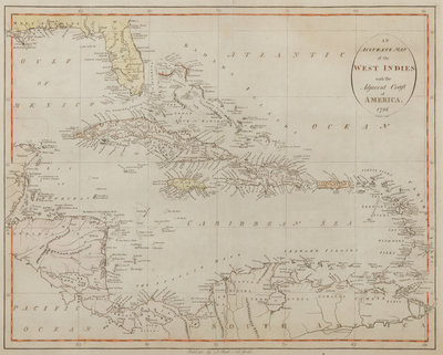
REID, John. WINTERBOTHAM, William (1763-1829). An Accurate Map of the West Indies with the Adjacent Coast of America. New York, 1796. (ETA# 196)
Engraved map of the West Indies with hand-coloring, visible area 18 1/2 x 14 7/8 in. (468 x 377 mm), matted and framed (unexamined out of frame). After J. Russell's map for the 1795 London edition of the atlas by Winterbotham, and published for Reid's The American Atlas, the second American atlas published in the United States. Rumsey 845.
Property from the Estate of E.M. Bakwin, La Porte, Indiana