Condition Report
Contact Information
Lot 376
Sale 697 - Fine Books and Manuscripts including Americana
Nov 6, 2019
10:00AM CT
Live / Chicago
Own a similar item?
Estimate
$2,000 -
3,000
Price Realized
$4,000
Sold prices are inclusive of Buyer’s Premium
Lot Description
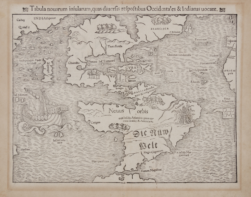
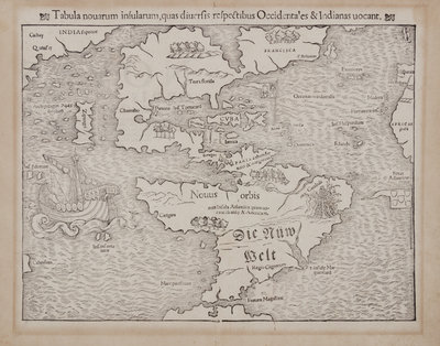
MÜNSTER, Sebastian (1489-1552). Tabula novarum insularum, quas diversis respectibus Occidentales & Indianas vocant. [Basel, ca 1559].
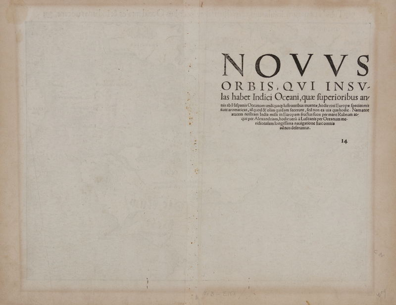
Woodcut map of North and South America, sheet 12 x 15 7/8 mm (305 x 405 mm). Burden's state 10 with Latin text on verso, including the word "ova" before "Insula Atlantica quam..." in South America, and lacking Temistitian.
Published in both Ptolemy's Geographia (as the present copy), and Münster's own Cosmography. The earliest map to depict all of the Americas, and the first to name the Pacific Ocean ("Mare Pacificum"), with a galleon depiction Magellans' Victoria. Burden 12.