
Condition Report
Contact Information
Auction Specialist
Lot 57
Sale 674 - Atlanta Collections
May 3, 2019
5:00AM ET
Live / Atlanta
Own a similar item?
Estimate
$400 -
600
Price Realized
$250
Sold prices are inclusive of Buyer’s Premium
Lot Description
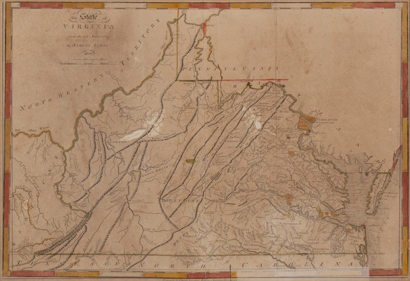
A Map of the State of Virginia
SAMUEL LEWIS, 1809, ENGRAVED FOR CAREY'S AMERICAN EDITION OF GUTHRIES GEOGRAPHIC IMPROVED
Depicting the region from the Cumberland River at Stinking Creek, the North Fork of the Kentucky River in Kentucky, and the Northwestern Territory in the West, to Pittsburg (sic) in the North, Cape Henry in the East, and the Tennessee North Carolina border in the South, with counties, towns, roads, at least one Indian Grave site, and other topographical details.
14 x 20 1/2 inches.