Condition Report
Contact Information
Lot 75
Sale 6465 - Printed and Manuscript Americana
Jan 29, 2026
10:00AM ET
Live / Philadelphia
Own a similar item?
Estimate
$10,000 -
15,000
Price Realized
$19,200
Sold prices are inclusive of Buyer’s Premium
Lot Description
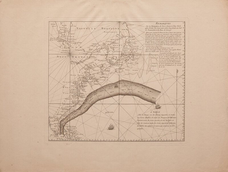
[Franklin, Benjamin] Remarques Sur la Navigation de Terre-Neuve a New-York afin d'euiter les Courrants et les bas-fonds au Sud de Nantuckett et du Banc de George
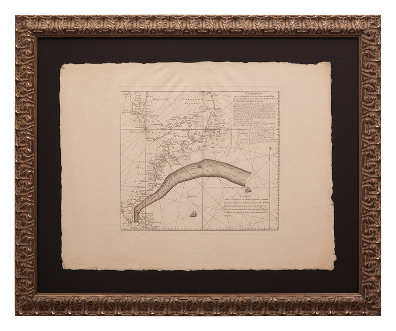
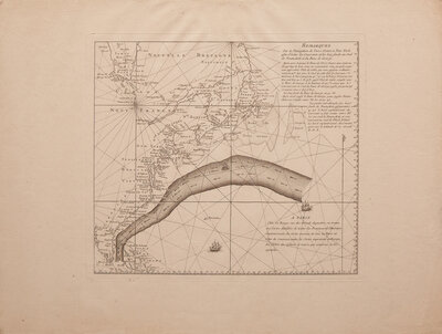
(Paris: Georges-Louis Le Rouge, ca. 1780-85). Engraved map of the Gulf Stream. 18 3/4 x 24 3/4 in. (476 x 629 mm). Expert repair along top edge. Partially mounted to board. In frame, 27 1/4 x 33 1/8 in. (692 x 841 mm). See Vorsey, "Pioneer Charting of the Gulf Stream: The Contributions of Benjamin Franklin and William Gerard De Brahm", in Imago Mundi (Vol. 28, 1975, pp. 105-120); Schwartz & Ehrenberg, pp. 207-208
A fine, uncut, and wide-margined example of the very rare Franklin-Folger map of the Gulf Stream.
Benjamin Franklin first encountered the Gulf Stream and its effects in 1726 while traveling from London to Philadelphia, where he observed peculiar changes in the sea's currents, but did not yet understand their cause. Around 1768, while he was serving as Postmaster to the American colonies, Franklin was consulted as to why mail packets were taking two weeks longer than merchant ships in their westerly crossings of the Atlantic. To discuss the matter Franklin turned to his cousin, a Nantucket whaling captain, Timothy Folger. All too familiar with the phenomenon, Folger ascribed the delays to the effects of the Gulf Stream, the strong warm water current flowing northeastward from Cape Hatteras, North Carolina to the Grand Banks of Newfoundland. Eager to transmit this information to packet captains, Franklin had Folger draw the current on a chart at hand, and write information on how to avoid its deleterious effects. Franklin then had this information sent to London, where it was engraved onto an obsolete Mount & Page map. This was printed in a very limited number and distributed to packet captains, who quickly ignored it. Later, while in Paris serving as the American Minister to France, Franklin's interest in the Gulf Stream was reignited. Collaborating with German-born French printer Georges-Louis Le Rouge, he had the Folger map printed in French with the intention of distributing them to French ship's captains carrying arms and supplies to America. Of these (as seen in the present example), only a small number were printed. Following the war, in 1786, Franklin produced a version in English, based on the Folger original, for inclusion in an article published in the Transactions of the American Philosophical Society.
Of the three types of this map, this is the earliest obtainable version. The first Mount & Page map, thought to be no longer extant, was only discovered in the Bibliotheque Nationale in Paris in 1978. Of these, there are currently only three known examples.
According to RBH, this is the first example of this French version to come to auction in 10 years.
A rare example of Franklin’s great contribution to cartography.
Property of a Main Line Gentleman, Pennsylvania
This lot is located in Philadelphia.