

Condition Report
Contact Information
Lot 144
Sale 6465 - Printed and Manuscript Americana
Jan 29, 2026
10:00AM ET
Live / Philadelphia
Own a similar item?
Estimate
$3,000 -
5,000
Lot Description
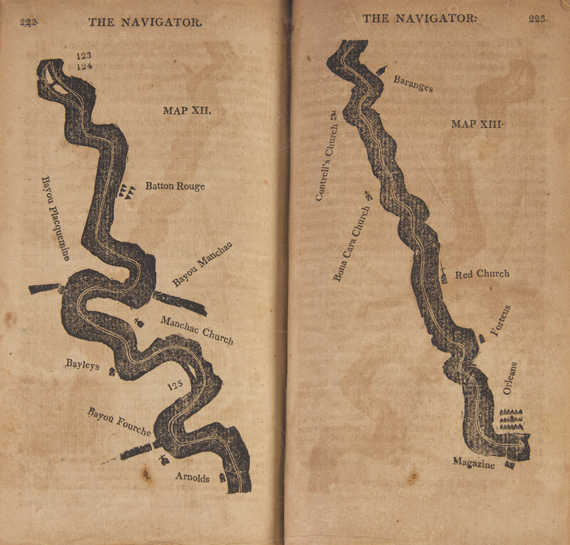
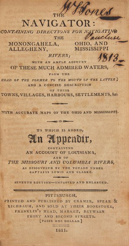
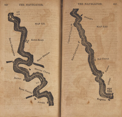
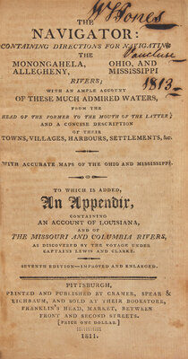
[Travel & Exploration] (Cramer, Zadok). The Navigator: Containing Directions for Navigating the Monongahela, Allegheny, Ohio, and Mississippi Rivers...
The First Navigational Guide to the Ohio and Mississippi Rivers
Pittsburgh: Printed and Published by Cramer, Spear & Eichbaum, 1811. Seventh Edition-Improved and Enlarged. 12mo. 295, (1) pp. Illustrated with 28 full-page woodcut maps (including one of Pittsburgh, 13 of the Ohio River, and 13 of the Mississippi River). Contemporary quarter mottled calf over marbled paper-covered boards, red morocco spine label, stamped in gilt, rebacked with original spine laid down, boards rubbed and worn; all edges trimmed; armorial book-plate of W.S. Jones, Vaucluse, his signature on front free endpaper and title-page; additional ownership signature, dated 1942, on front blank; tipped to title-page is a printed letter from James Smith to the publishers about alterations to channels in the Mississippi; scattered minor spotting; minor offsetting. Howes C-855; Sabin 17385; Streeter Sale II:994
Cramer had been in Pittsburgh for only a short time when he realized the necessity for a publication giving detailed information for navigating the Western rivers. It is generally supposed that the first edition of The Navigator was published in 1801, yet no copy bearing that date is known to exist. There are several extant copies of the edition of 1802. The earlier editions were small octavo pamphlets bound in coarse paper covers, the third edition containing forty pages. First published in this form in 1806, a key to the success and longevity of the guide were the frequent republications, some with additions. The first edition to include information from Lewis and Clark's discoveries was published in 1808.
This lot is located in Philadelphia.