


Condition Report
Contact Information
Auction Specialist
Lot 209
Sale 6425 - American Historical Ephemera and Early Photography, including The Larry Ness Collection of Native American Photography
Part I - Lots 1-222
Oct 23, 2025
10:00AM ET
Part II - Lots 223-376
Oct 24, 2025
10:00AM ET
Live / Cincinnati
Own a similar item?
Estimate
$20,000 -
30,000
Price Realized
$24,000
Sold prices are inclusive of Buyer’s Premium
Lot Description
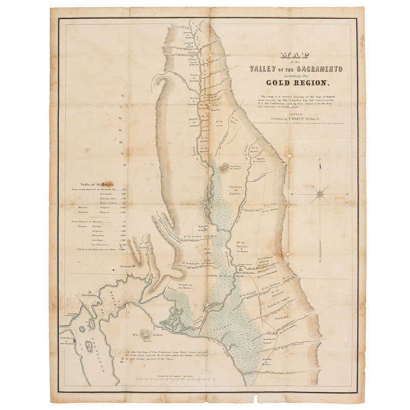
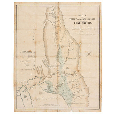
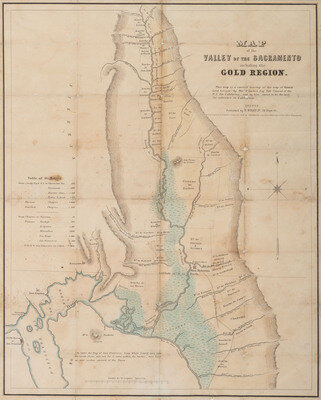
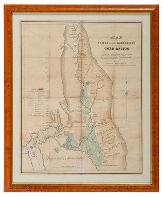
[GOLD RUSH]. LARKIN, Thomas O. (1802-1858). Map of the Valley of the Sacramento including the Gold Region. Boston: J.H. Bufford & Co and T. Wiley Jr., ca 1848.
Printed below titled, "This map is a correct tracing of the map of Bidwell (Land Surveyor) by Thos. O. Larkin Esq: late Consul of the U.S. for California; and by him stated to be the best for reference in California."
22 5/8 x 18 1/8 in. hand-colored, lithographed map, matted and framed, 26 1/2 x 22 in. overall.
EXCEPTIONALLY RARE AND DESIRABLE MAP OF THE CALIFORNIA GOLD REGION AND IS REGARDED AS THE FIRST PUBLISHED MAP TO SHOW THE GOLD REGION.
Although researchers have not been able to determine the exact date this map was filed for copyright, Carl Wheat believes it is one of the earliest (if not the very earliest) published maps actually to name and note the California Mining District. Larkin apparently modeled his map on the Bidwell 1844 map of the Sacramento Valley (Wheat, Gold Region 15). Wheat comments: "It is without a doubt one of the rarest of the early gold region maps, and a decade of diligent search has failed to [bring to] light any other copy." He includes it among the 25 chief cartographical monuments of the gold discovery era. CONSIDERED "ONE OF THE KEY MAPS OF CALIFORNIA HISTORY" (Kurutz).
Kurutz, California 49, map 28; Wheat, Maps of the California Gold Region 49 (color facsimile reproduction); Wheat, 25 California Maps 4.
The Emily T. and Adolphus Andrews Collection of Native American Art