Condition Report
Contact Information
Auction Specialists
Lot 332
Sale 6370 - The Collected Library
Lots Open
Nov 26, 2025
Lots Close
Dec 11, 2025
Timed Online / Philadelphia
Own a similar item?
Estimate
$300 -
500
Price Realized
$260
Sold prices are inclusive of Buyer’s Premium
Lot Description
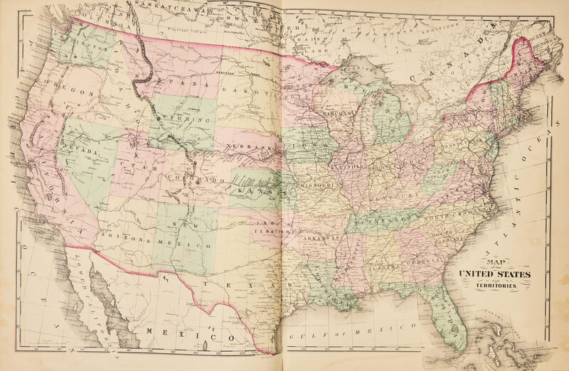
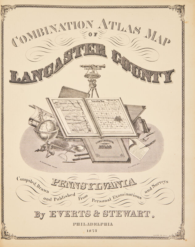
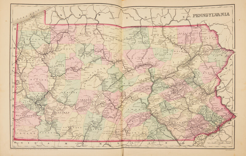
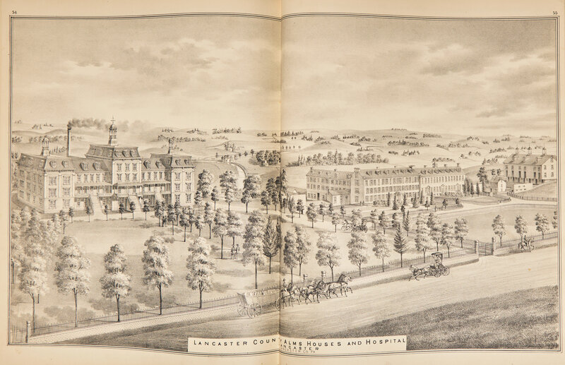
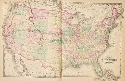
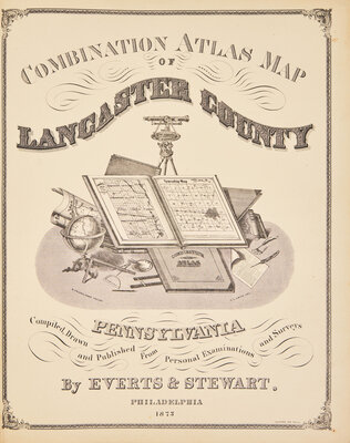
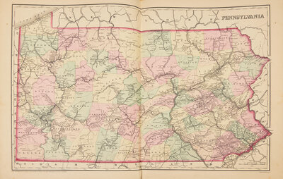
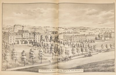
[Americana] Combination Atlas Map of Lancaster County Pennsylvania
Philadelphia: Everts & Stewart, 1875. Folio. Illustrated with lithographed title-page, hand-colored lithographed double-page maps of the United States and Pennsylvania, 49 full-page hand-colored lithographed maps, four hand-colored double-page lithographed maps, and 46 full and/or double-page uncolored lithographed illustrations. Original three-quarter black morocco over pebbled deep purple cloth-covered boards, decorated in blind and in gilt, boards soiled and rubbed; marbled edges; front hinge reinforced and now splitting; contemporary ownership inscription on front free endpaper ("David H. Mellinger / Cresswell / Lancaster Co. / Pa."), his same inscription on rear free endpaper; scattered spotting to text.
A handsome copy of this detailed account of Lancaster County in 1875, with dozens of lithographed maps, views, and illustrations showing the County's various townships, major buildings and businesses, etc. Includes a detailed history of Lancaster, as well as statistical information and a business directory.