
Condition Report
Contact Information
Auction Specialist
Lot 242
Sale 6330 - Fine Printed Books & Manuscripts, Including Americana
May 8, 2025
10:00AM CT
Live / Chicago
Own a similar item?
Estimate
$400 -
600
Price Realized
$832
Sold prices are inclusive of Buyer’s Premium
Lot Description
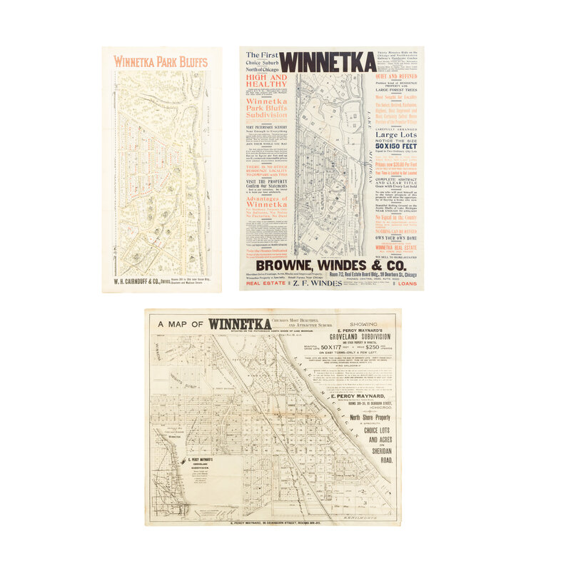
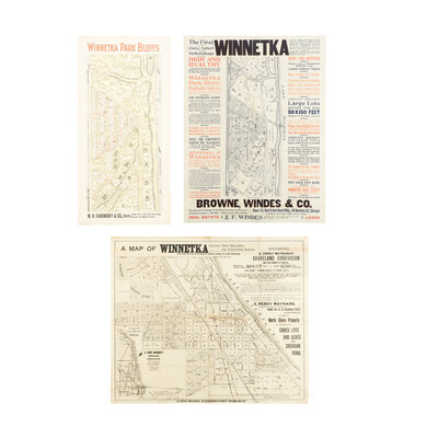
[MAPS]. A group of 3 early subdivision maps of Winnetka, Illinois, comprising:
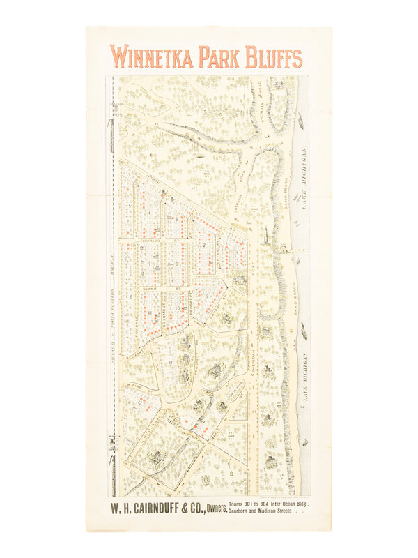
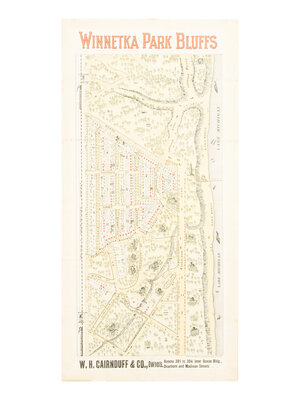
Winnetka Park Bluffs. Chicago: Rand McNally for W.H. Cairnduff & Co., n.d. [ca 1900s]. 559 x 267 mm. Color lithograph, advertisement printed on verso. (Old folds, some marginal toning, small tape repairs on verso.)
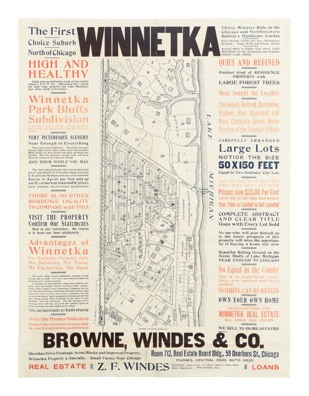
Winnetka. The First Choice Suburb North of Chicago. Chicago?: Browne, Winds, & Co., 1904. 610 x 457 mm. Printed in red, black, and blue. (Hinged to backing.)
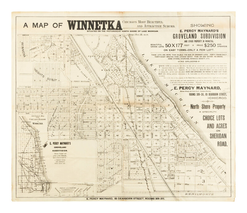
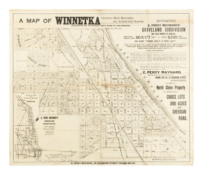
A Map of Winnetka. Chicago's Most Beautiful and Attractive Suburb. Chicago: E. Percy Maynar, n.d. [ca 1900s]. 610 x 724 mm. (Old folds, few small tape repairs.)
Winnetka's history began in 1836 when the Erastus Patterson family arrived from Vermont via ox-drawn wagon and established a log tavern along the Green Bay Trail to serve travelers. The area was platted in 1854 by Charles Peck and Walter Gurnee, president of the Chicago & Milwaukee Railroad, which began service that year and spurred suburban development. Dubbed the "crown jewel of the North Shore," the city experienced an influx of Chicagoans seeking a more relaxed and cleaner atmosphere than the hustle and bustle of the big city. The population surged from 1,883 in 1900 to over 12,000 by 1930, driven in part by infrastructure developments such as the grade-separated railroad (1937–1942) and the establishment of the Winnetka Park District (1904). These maps illustrate the resulting land rush in the area.
Property from the Estate of James G. Hansen at Fetcher House, Winnetka, Illinois