Condition Report
Contact Information
Lot 171
Sale 624 - Adventure & Exploration Library of Steve Fossett
Oct 31, 2018
4:59AM CT
Live / Chicago
Own a similar item?
Estimate
$1,000 -
1,500
Price Realized
$1,000
Sold prices are inclusive of Buyer’s Premium
Lot Description
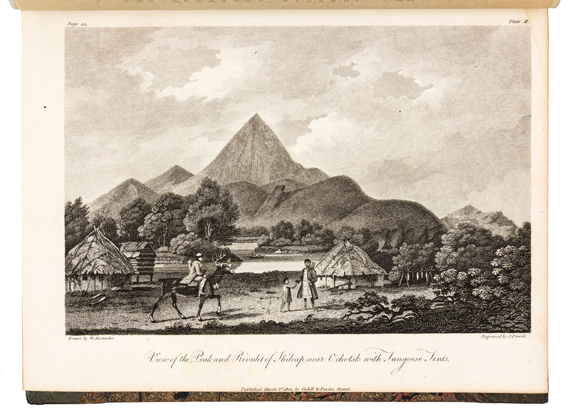
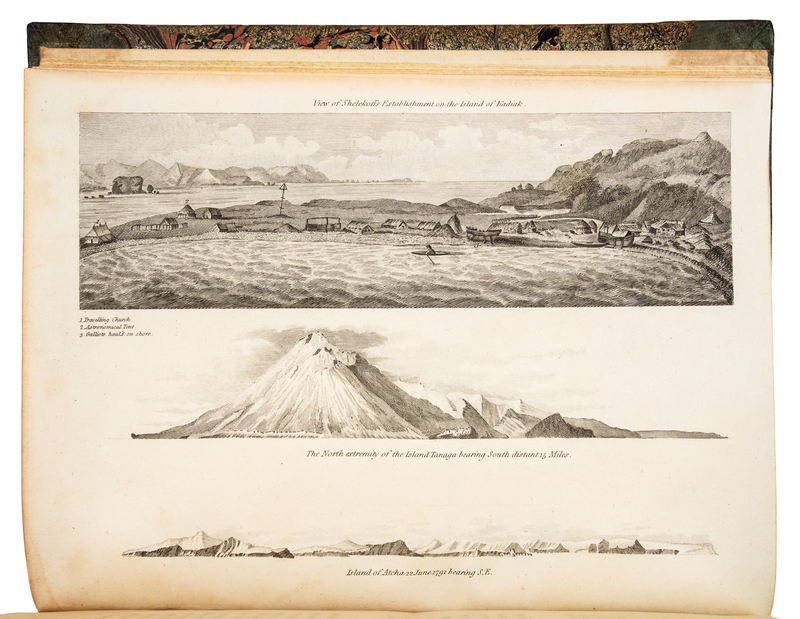
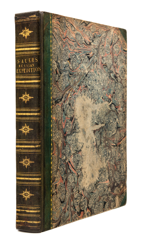
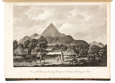
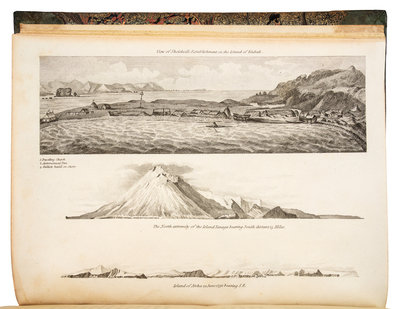
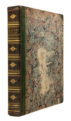
SAUER, Martin (fl. 1785-1806). An Account of a Geographical and Astronomical Expedition to the Northern Parts of Russia, for ascertaining the degrees of Latitude and Longitude of the mouth of the River Kovima; and of the whole coast of the Tshutski, to East Cape; and of the islands in the Eastern Ocean, stretching to the American coast. Performed by Commodore Joseph Billings, in the Years 1785. &c. to 1794. London: Printed by A. Strahan for Cadell and Davies, 1802.
4to (264 x 203 mm). Engraved folding map by S. J. Neele after A. Arrowsmith and 14 engraved plates and coastal profiles by J. Powell, R. H. Cromek, S. J. Neele, et al. after W. Alexander; half-title, errata leaf c2; . Contemporary green half morocco gilt (skillfully rebacked). Provenance: Sir Marcus Somerville (bookplate).FIRST EDITION OF "THE FULLEST ACCOUNT OF [BILLING'S] VOYAGE" (Hill). Sauer acted as private secretary and translator on the Russian expedition of 1785 through 1793, which was the first official exploring expedition sent by Russia to the Arctic Sea and North Pacific since Bering's second voyage of 1741. Catherine II sent the party out to survey and map all the islands in the North Pacific, and to claim all lands not already claimed by others. Brunet V:147-148; Cox I:353; Hill 1528; Howes S-117; Lada-Mocarski 58; Lowndes p. 2192; Sabin 77152.