Condition Report
Contact Information
Lot 58
Sale 610 - Fine Cartographic and Printed Americana
Nov 12, 2018
9:59AM
Live
Own a similar item?
Estimate
$3,000 -
5,000
Price Realized
$3,250
Sold prices are inclusive of Buyer’s Premium
Lot Description
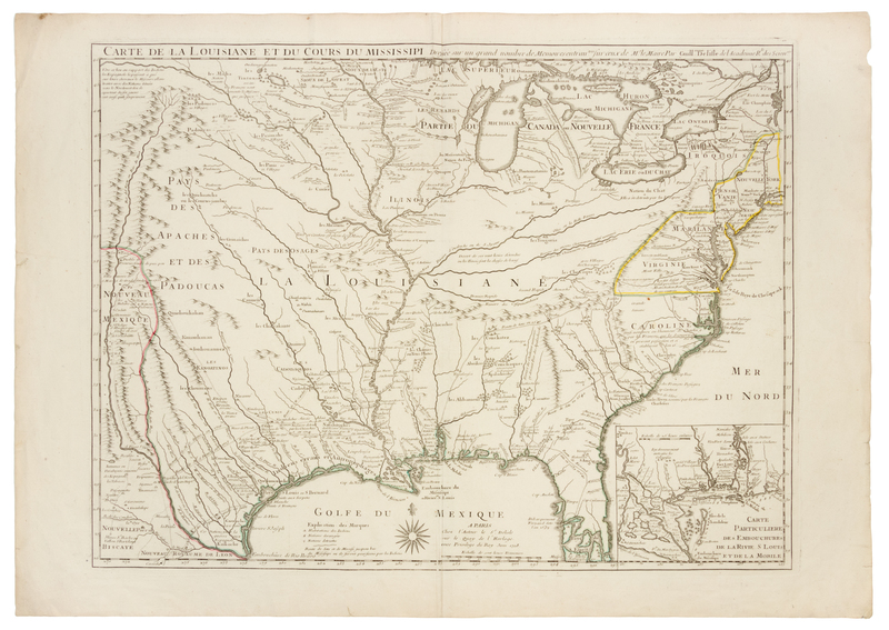
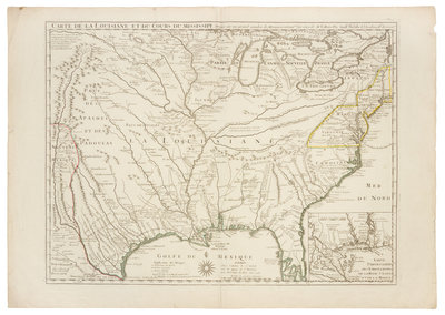
DELISLE, Guillaume (1675-1726). Carte de la Louisiane et du Cours du Mississipi. Paris, 1718.
Engraved map of the Great Lakes and Mississippi River, with hand-coloring in outline, image 485 x 643 mm (sheet 558 x 757 mm). Inset of the Gulf of Mexico, New Orleans and Mobile. (Some very minor marginal chipping.) FIRST EDITION, second state (showing New Orleans) of "one of the most important mother maps of the North American continent" (William P. Cumming). Delisle's Carte de la Louisiane is the first detailed map of the Gulf of Mexico and the Mississippi River, and the first printed map to show Texas ("Mission de los Teijas etablie en 1716"). The Missouri River is named three times, and extends west to the upper Rio Grande. Tooley 43; Wheat Transmississippi 99.