

Condition Report
Contact Information
Lot 43
Sale 610 - Fine Cartographic and Printed Americana
Nov 12, 2018
9:59AM
Live
Own a similar item?
Estimate
$1,000 -
1,500
Price Realized
$2,125
Sold prices are inclusive of Buyer’s Premium
Lot Description
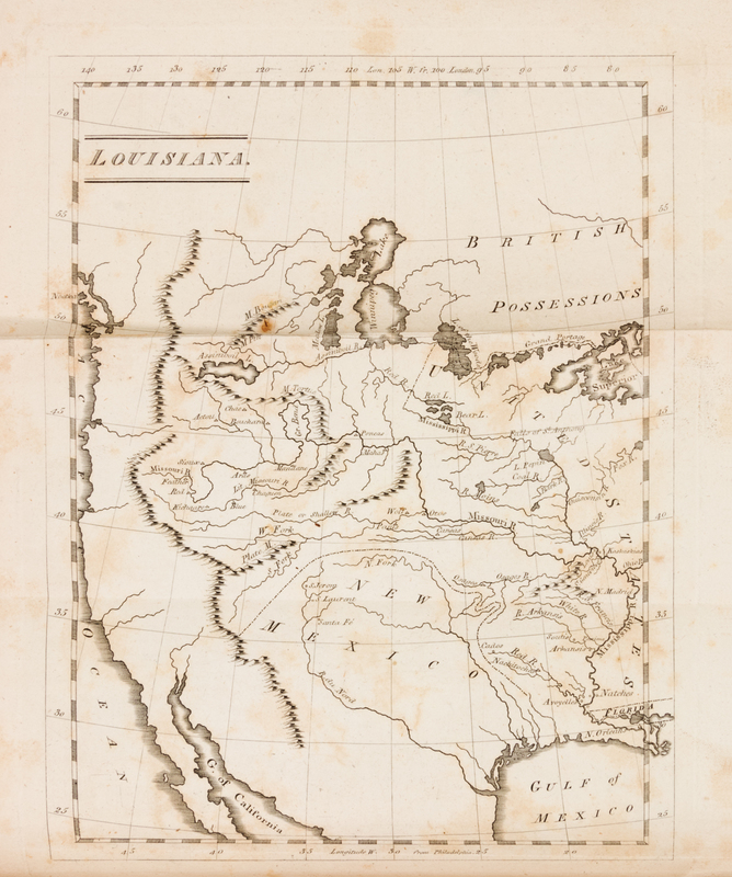
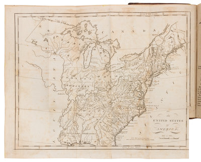
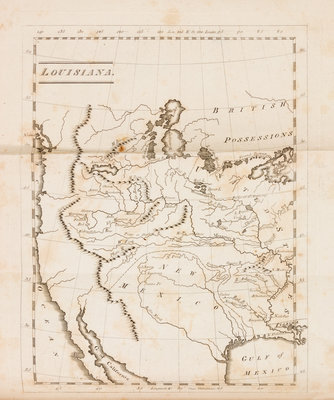
CAREY, Mathew (1760-1839). Carey's Pocket American Atlas. Philadelphia: Matthew Carey, 1805.
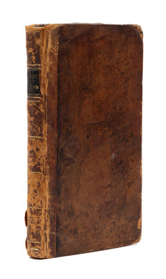
12mo (206 x 120 mm). 20 engraved folding maps by W. Barker, J. H. Seymour, and A. Doolittle, 2 letterpress folding tables. (Map of New York with 3 1/2-in. separation at fold crossing image, map of Virginia with 2 1/4-in. tear crossing border, leaf L1 with 2 1/2-in. tear crossing text, some light browning or spotting, a few other maps with short tears to folds.) Contemporary sheep, black morocco lettering-piece gilt (old rebacking, endpapers renewed, hinges starting, some light overall wear). Third edition, published just two years after the Louisiana Purchase, including a map and description of Louisiana not present in earlier editions. The map depicts the Mississippi River and territory to the west, including the Gulf of Mexico, the Gulf of California, New Mexico, and the Pacific Ocean. Though a number of rivers and mountain ranges are named, the map only names a few cities, including New Orleans, St. Louis, and Santa Fe. Howes C137; Phillips 1368.