
Condition Report
Contact Information
Lot 39
Sale 610 - Fine Cartographic and Printed Americana
Nov 12, 2018
9:59AM
Live
Own a similar item?
Estimate
$600 -
800
Price Realized
$1,500
Sold prices are inclusive of Buyer’s Premium
Lot Description
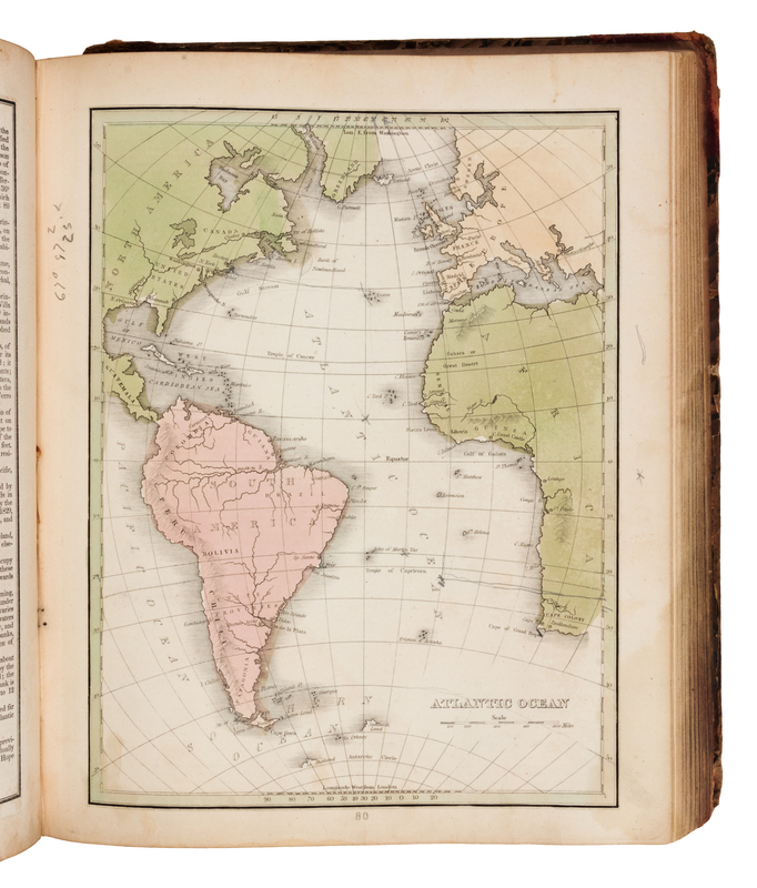
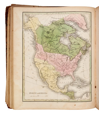
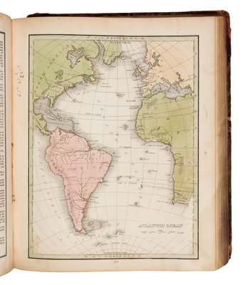
BRADFORD, Thomas Gamaliel (1802-1887). A Comprehensive Atlas Geographical, Historical & Commercial. Boston: American Stationers' Company, [1835].
4to (290 x 240 mm). Hand-colored engraved frontispiece, engraved title, 78 engraved maps and diagrams, most hand-colored in outline. (Dampstaining, a few maps with marginal tears, last map with small surface adhesion.) Contemporary half calf, marbled boards (covers detached, endpaper and frontispiece disbound, spine lacking, overall wear and rubbing). Later edition, THE FIRST ATLAS TO INCLUDE A SEPARATE MAP OF TEXAS, including one page of descriptive text about the map of Texas. Bradford's atlas was issued at least four times in variant issues. The first was issued by Ticknor in Boston and others in 1835, and includes no separate map of Texas (see previous lot). Later that same year, Bradford issued the atlas again, published by the American Stationer's Company. Interested in the revolutionary events taking place in Texas at the time, Bradford inserted a new map of Texas. The map of Texas in this atlas appears in its earliest form, with "Mustang or Wild Horse Desert" shown in south Texas, "Nueces River" designated as the southwestern boundary of Texas, land grants shown instead of land districts and counties, and the city of Austin (founded 1839) not yet mentioned. The printed index calls for "Map of Texas 64A. 64B. 64C." See Phillips 770; see Sabin 7260; see Wheat Transmississippi 408-410.