


Condition Report
Contact Information
Lot 36
Sale 610 - Fine Cartographic and Printed Americana
Nov 12, 2018
9:59AM
Live
Own a similar item?
Estimate
$200 -
400
Price Realized
$375
Sold prices are inclusive of Buyer’s Premium
Lot Description
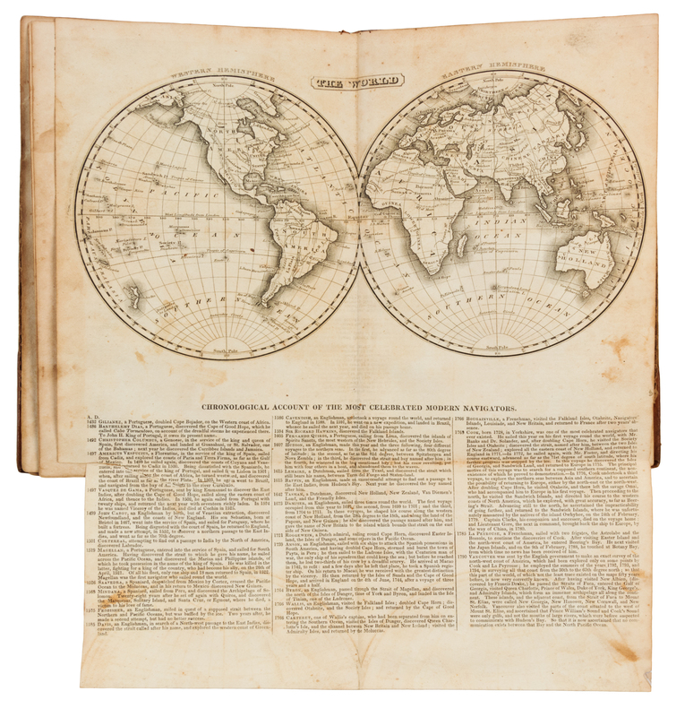
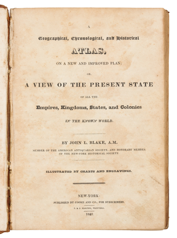
BLAKE, John Lauris (1788-1857). A Geographical, Chronological and Historical Atlas, On a New and Improved plan; or, A View of the Present State of all the Empires, Kingdoms, States, and Colonies in the Known World. New York: Cooke and Co., 1820.
Small 4to (229 x 164 mm). Engraved folding double-page double-hemispheric world map, 17 letterpress tables (7 hand-colored), illustrations. (Some browning, a few pale stains.) Contemporary half roan, marbled boards (overall wear). FIRST EDITION, "derived from Malte Brun, Le Sage, and others." SCARCE: according to American Book Prices Current, no copy of the 1820 edition has appeared at auction in 45 years, and only three copies of the 1826 edition (often called the "first edition") have sold. Phillips 747 (1826 edition); Rumsey 2909 (1826 edition).