
Condition Report
Contact Information
Lot 3
Sale 610 - Fine Cartographic and Printed Americana
Nov 12, 2018
9:59AM
Live
Own a similar item?
Estimate
$300 -
500
Price Realized
$1,250
Sold prices are inclusive of Buyer’s Premium
Lot Description
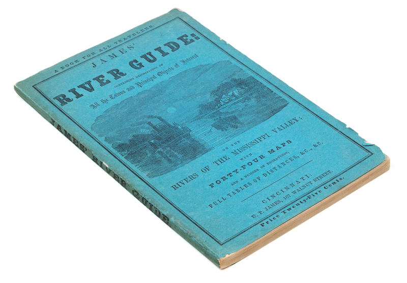
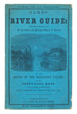
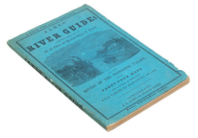
[CUMINGS, SAMUEL]. James' River Guide: Containing Descriptions of All the Towns and Principal Objects of Interest on the Rivers of the Mississippi Valley. Cincinnati: U. P. James, 1861.
8vo (225 x 143 mm). 44 single-page engraved maps, comprising 23 of the Mississippi River, 20 of the Ohio River, and one plan entitled "Falls of Ohio", numerous views in text. (Some scant spotting or light offsetting.) ORIGINAL BLUE PRINTED WRAPPERS (short tear to lower joint, a few small chips or tears with minor losses). Later edition, one of the many that followed Cumings' 1822 Western Navigator. These later editions replaced Cumings' name with that of the publisher, which Howes describes as "poetic justice" owing to the fact that Cumings based the work, without credit, on Zadok Cramer's Navigator. See Howes C-948; see Graff 947.