

Condition Report
Contact Information
Lot 19
Sale 610 - Fine Cartographic and Printed Americana
Nov 12, 2018
9:59AM
Live
Own a similar item?
Estimate
$500 -
700
Price Realized
$375
Sold prices are inclusive of Buyer’s Premium
Lot Description
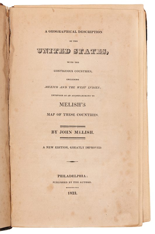
MELISH, John (1771-1822). A Geographical Description of the United States, with the Contiguous Countries, including Mexico and the West Indies. Philadelphia: by the Author, 1822.
8vo (213 x 133 mm). 2pp. advertisements and errata, 12 engraved maps (1 folding). (Some browning or spotting throughout, as usual.) Contemporary leather-backed marbled boards (lower cover detached, spine with old glue repairs, upper hinge broken). Fourth edition, including maps of the District of Columbia, Boston, New York, Philadelphia, Baltimore, Charleston, New Orleans, Ballston and Saratoga Springs, St. Louis, the outlet of the Columbia River, and a national road map. Although the table of contents lists 14 maps, only 12 were completed in time for publication. Howes M-490; Sabin 47431.