Condition Report
Contact Information
Lot 307
Sale 588 - Fine Books and Manuscripts
Nov 13, 2018
9:59AM
Live
Own a similar item?
Estimate
$1,000 -
1,500
Price Realized
$1,125
Sold prices are inclusive of Buyer’s Premium
Lot Description
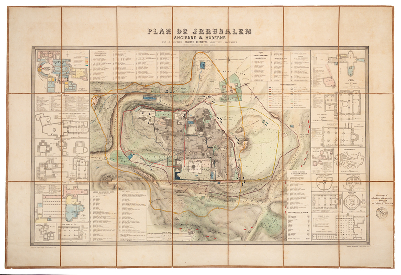
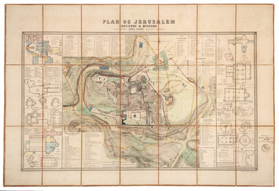
PIEROTTI, Ermete (fl. 19th century). Plan de Jerusalem. Paris, 1860.
Engraved folding map, overall dissected in 21 sections and mounted on drab linen, image 553 x 917 mm (sheet 725 x 1050 mm), hand-colored. Wide side borders with architectural floorplans. PRESENTATION COPY, INSCRIBED BY ERMETE PIEROTTI TO ALEXANDRE DUMAS with an "Architetto Ingeonere di Terra Santa" stamp on lower right panel, and ADDITIONALLY INSCRIBED on label on verso. Laor, Maps of the Holy Land 1095.