Condition Report
Contact Information
Lot 59
Sale 568 - Fine Books and Manuscripts
May 1, 2018
9:59AM
Live
Own a similar item?
Estimate
$1,000 -
1,500
Price Realized
$1,000
Sold prices are inclusive of Buyer’s Premium
Lot Description
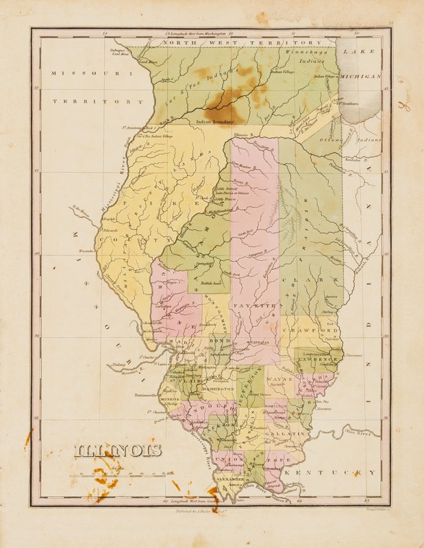
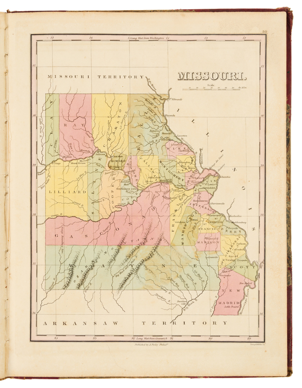
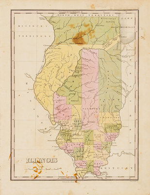
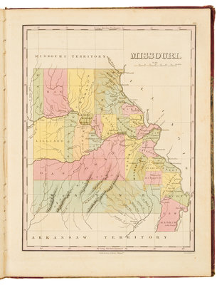
FINLEY, Anthony (ca 1790-1840). A New General Atlas, Comprising a Complete Set of Maps representing the Grand Divisions of the Globe...Compiled from the Best Authorities, and Corrected by the Most Recent Discoveries. Philadelphia: Anthony Finley, 1824.
4to (340 x 260 mm). Engraved title, engraved list of contents, letterpress statistical table, 56 hand-colored engraved maps (of 58, lacking map 28, Mississippi, and map 29, Louisiana), 2 hand-colored engraved plates showing comparative heights of mountains and lengths of rivers. (Some spotting, staining or browning.) Original half red roan, marbled boards, printed label to upper cover (overall wear, hinges starting). FIRST EDITION of this early American atlas including maps of the developing states in the Midwest, including Indiana, Illinois, and Missouri, and depicting Chicago and Indian villages around Lake Michigan. Phillips Atlases 4314.