

Condition Report
Contact Information
Lot 345
Sale 532 - Fine Books and Manuscripts
Dec 6, 2017
9:59AM
Live
Own a similar item?
Estimate
$150 -
250
Price Realized
$163
Sold prices are inclusive of Buyer’s Premium
Lot Description
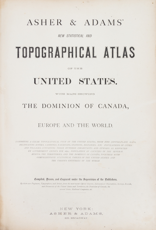
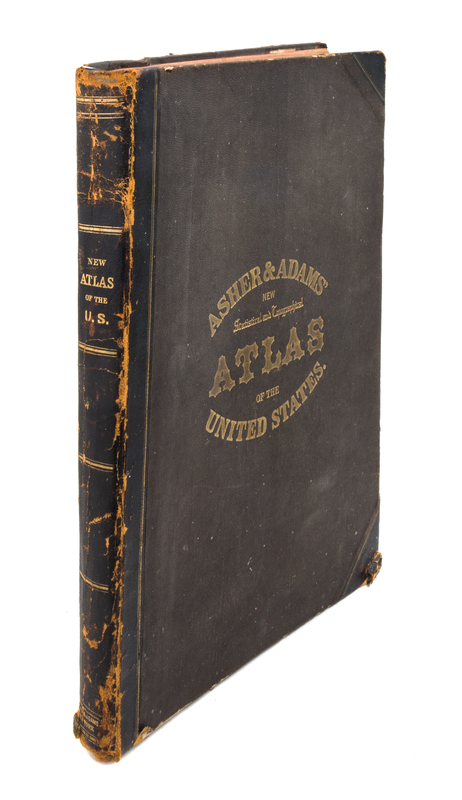
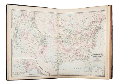
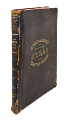
[ATLASES] ASHER & ADAMS. New Statistical and Topographical Atlas of the United States with Maps Showing the Dominion of Canada, Europe and the World. New York: Asher and Adams, 1872.
Folio (450 x 324 mm). 28 hand-colored lithographic maps. (Some browning and spotting.) Original half brown morocco, brown gold-stamped cloth, edges red (some wear to hinges and extremities). Includes a world map on Mercator's projection, and an extensive index tin information about money order offices, post offices, and railroad stations.