Condition Report
Contact Information
Lot 341
Sale 532 - Fine Books and Manuscripts
Dec 6, 2017
9:59AM
Live
Own a similar item?
Estimate
$400 -
600
Price Realized
$438
Sold prices are inclusive of Buyer’s Premium
Lot Description
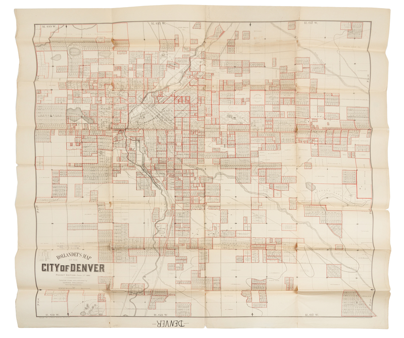
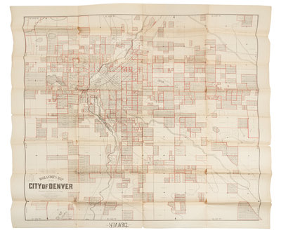
ROLLANDET, Edward. Rollandet's Map of the City of Denver. Denver: Edward Rollandet, January 1st, 1890.
Lithographic folding map printed red outline image 838 x 829 mm (900 x 920 mm sheet). (A few tears or separations to folds.) First edition of this rare separately issued map of Denver, including the South Platte River, Cherry Creek, Sand Creek, and Sloan's Lake.