

Condition Report
Contact Information
Lot 32
Sale 470 - Fine Books and Manuscripts
Nov 2, 2016
9:59AM
Live
Own a similar item?
Estimate
$400 -
600
Lot Description
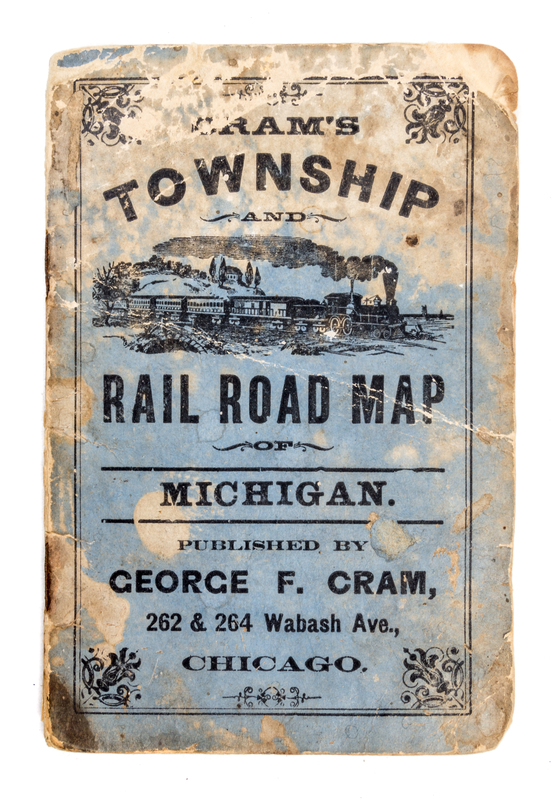
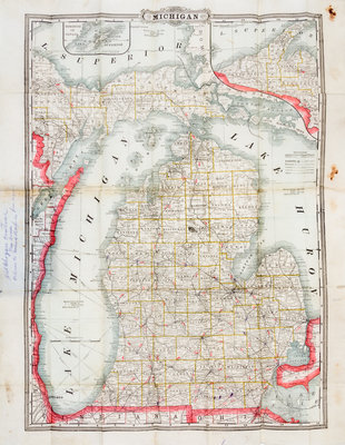
(CARTOGRAPHY) (RAILROADS)
Cram's township and rail road map of Michigan. Chicago: George F. Cram, circa 1890. Folding map (60 x 48 cm., sheet), with 24 page index. Original paper covers worn and discolored. With two insets: Isle Royale in Lake Superior and a map of the upper peninsula. The text describes the routes of the 29 railroad lines that were operating at the time.