Condition Report
Contact Information
Lot 12
Sale 470 - Fine Books and Manuscripts
Nov 2, 2016
9:59AM
Live
Own a similar item?
Estimate
$2,000 -
4,000
Lot Description
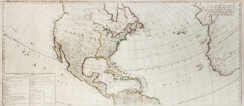
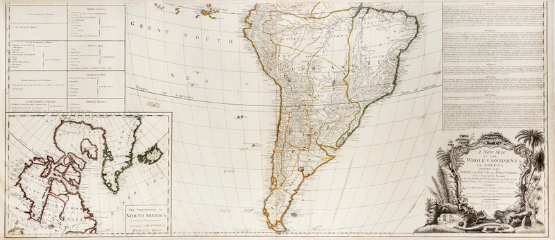
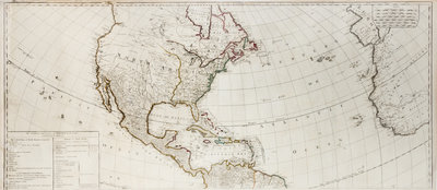
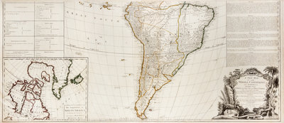
(CARTOGRAPHY) [GIBSON, JOHN]
A new map of the whole continent of America, divided into North and South America and West Indies, with a descriptive account of the European possessions, as settled by the definitive Treaty of Peace, concluded at Paris, Feby. 10th, 1763, compiled from Mr. D'Anville's Maps of that continent, and corrected in the several parts belonging to Great Britain, from the Original Materials of Governor Pownall, MP. London: Robert Sayer and John Bennett, 1777. Later printing.Copper-engraved map, printed on four sheets, joined as two (108 x 123 cm. total), with period hand-coloring in outline. Inset of the Arctic regions of North America, with Greenland and Iceland included. Table along left side. With printing of a portion of the 1763 Treaty of Paris above the cartouche.An apparently unrecorded intermediary state of Gibson's wall map, between Stevens and Tree 3c and 3d. Incorporating new political divisions brought about by the 1783 Treaty of Paris; "all the lands between the Lakes," as yet uncolonized.